Project Information
| Code | MIRSAC-PRJ-6 |
|---|---|
| Category | Agriculture & Allied |
| Time Period | March 2002 |
| Funding Agency | Ministry of Agriculture, Government of India |
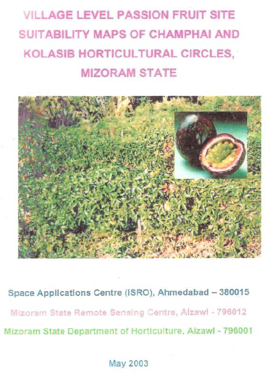
Village level passion fruit site suitability maps of Champhai and Kolasib horticultural circles, Mizoram state
Village level planning
Champhai
Kolasib
Passion fruit
Site suitability
Project Description
The “Village Level Passion Fruit Site Suitability Maps of Champhai and Kolasib Horticultural Circles, Mizoram State” project is a collaborative effort under the Technology Mission for Integrated Development of Horticulture in North Eastern States, funded by the Ministry of Agriculture, Government of India. It brings together the Space Applications Centre (ISRO), Mizoram State Remote Sensing Centre, and the Mizoram State Department of Horticulture, combining national remote sensing expertise with state-level GIS capabilities and field-based horticultural knowledge.
The project’s core objective is to translate earlier passion fruit suitability analysis into operational village-level maps that clearly show where purple and yellow passion fruit orchards can be expanded within existing jhum (shifting cultivation) areas in Champhai and Kolasib circles. Building on prior work that identified suitable jhum patches using a passion fruit site suitability index, this report prepares detailed village maps and categorizes sites into Priority I and Priority II to guide phased orchard expansion under the Technology Mission.
Technologically, the study relies on Indian Remote Sensing (IRS) satellite data, mainly IRS-1D LISS-III multispectral imagery, combined with digital elevation models and GIS-based spatial analysis. Village and settlement boundaries, road networks, drainage and soil maps are integrated with remote-sensing-derived current jhum layers to generate fine-scale suitability maps. The passion fruit suitability index uses key terrain parameters (elevation, slope, aspect) and agronomic requirements, while ancillary factors such as cluster size and proximity to roads, settlements and water sources are used for prioritization.
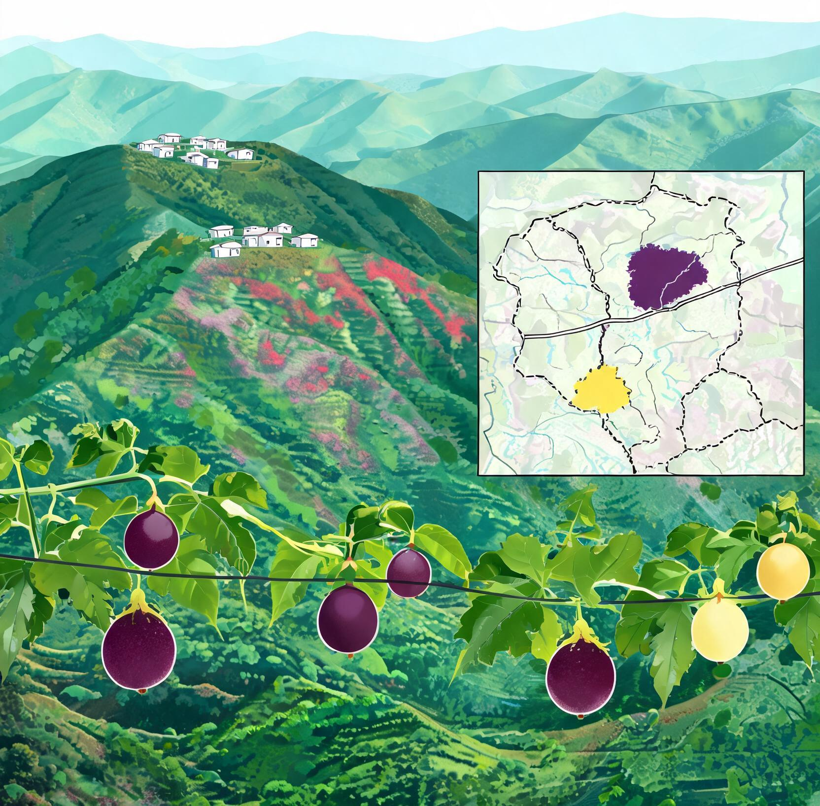
The study area - Champhai and Kolasib horticultural circles within Mizoram’s hilly, high-rainfall landscape is of high strategic importance for horticulture-based livelihood diversification. Champhai already supports extensive purple passion fruit orchards and is envisaged as a major passion fruit belt, whereas Kolasib’s lower elevation and gentle slopes make it promising for yellow passion fruit, whose fruiting season complements the purple variety and supports year-round supply.
The outputs including village-level maps for each settlement showing Priority I and II sites, backed by tabulated village statistics, provide practical tools not only for horticulture planning but also for broader city and town planning. Planners can use these geospatial products to- align road improvements and market infrastructure with high-potential orchard clusters; integrate horticulture zones into land-use plans; support jhum-to-orchard transition in peri-urban and rural belts; and identify areas where water supply, processing units or storage facilities will have maximum impact. By linking remotely sensed data with village boundaries and accessibility networks, the project delivers an actionable spatial decision support base that helps Mizoram move toward economically viable, ecologically sustainable, and spatially coherent horticulture and urban–rural development.
Summarize Metadata
Mapping Scale: 1:50,000
Satellite data & Year: IRS LISS III & WIFS (2002)
Study area: Champhai & Kolasib Horticulture Circles
Collaborating/Funding Agency: Ministry of Agriculture, Government of India; Space Applications Centre (SAC), Ahmedabad; Department of Horticulture, Govt. of Mizoram
No. of Reports published: 1
Project Period: 2002 – 2003
The project’s core objective is to translate earlier passion fruit suitability analysis into operational village-level maps that clearly show where purple and yellow passion fruit orchards can be expanded within existing jhum (shifting cultivation) areas in Champhai and Kolasib circles. Building on prior work that identified suitable jhum patches using a passion fruit site suitability index, this report prepares detailed village maps and categorizes sites into Priority I and Priority II to guide phased orchard expansion under the Technology Mission.
Technologically, the study relies on Indian Remote Sensing (IRS) satellite data, mainly IRS-1D LISS-III multispectral imagery, combined with digital elevation models and GIS-based spatial analysis. Village and settlement boundaries, road networks, drainage and soil maps are integrated with remote-sensing-derived current jhum layers to generate fine-scale suitability maps. The passion fruit suitability index uses key terrain parameters (elevation, slope, aspect) and agronomic requirements, while ancillary factors such as cluster size and proximity to roads, settlements and water sources are used for prioritization.
The study area - Champhai and Kolasib horticultural circles within Mizoram’s hilly, high-rainfall landscape is of high strategic importance for horticulture-based livelihood diversification. Champhai already supports extensive purple passion fruit orchards and is envisaged as a major passion fruit belt, whereas Kolasib’s lower elevation and gentle slopes make it promising for yellow passion fruit, whose fruiting season complements the purple variety and supports year-round supply.
The outputs including village-level maps for each settlement showing Priority I and II sites, backed by tabulated village statistics, provide practical tools not only for horticulture planning but also for broader city and town planning. Planners can use these geospatial products to- align road improvements and market infrastructure with high-potential orchard clusters; integrate horticulture zones into land-use plans; support jhum-to-orchard transition in peri-urban and rural belts; and identify areas where water supply, processing units or storage facilities will have maximum impact. By linking remotely sensed data with village boundaries and accessibility networks, the project delivers an actionable spatial decision support base that helps Mizoram move toward economically viable, ecologically sustainable, and spatially coherent horticulture and urban–rural development.
Summarize Metadata
Mapping Scale: 1:50,000
Satellite data & Year: IRS LISS III & WIFS (2002)
Study area: Champhai & Kolasib Horticulture Circles
Collaborating/Funding Agency: Ministry of Agriculture, Government of India; Space Applications Centre (SAC), Ahmedabad; Department of Horticulture, Govt. of Mizoram
No. of Reports published: 1
Project Period: 2002 – 2003