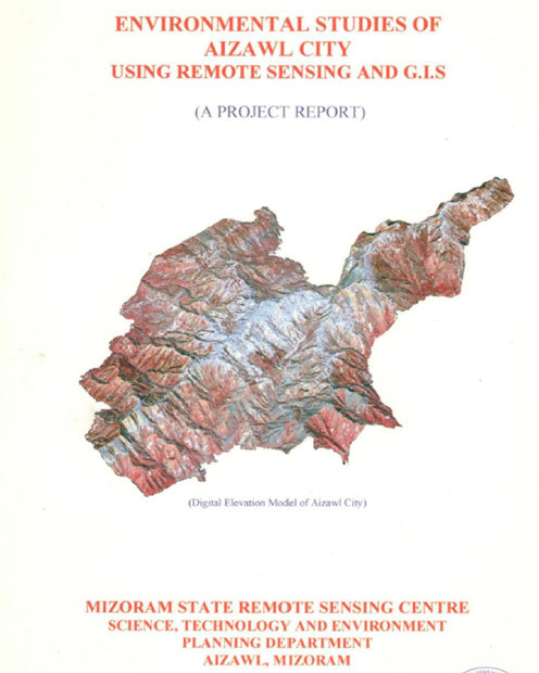
Environmental Studies of Aizawl City using Remote Sensing and GIS
The project "Environmental Studies of Aizawl City using Remote Sensing and GIS" was undertaken by the Mizoram State Remote Sensing Centre (MSRSC), and...
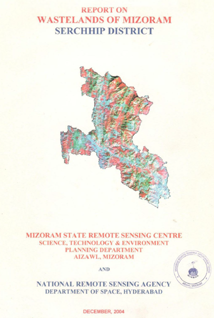
Wastelands of Mizoram - Serchhip district
The “Report on Wastelands of Mizoram – Serchhip District” was prepared under the National Wastelands Atlas Updation Programme, coordinated by the Nati...
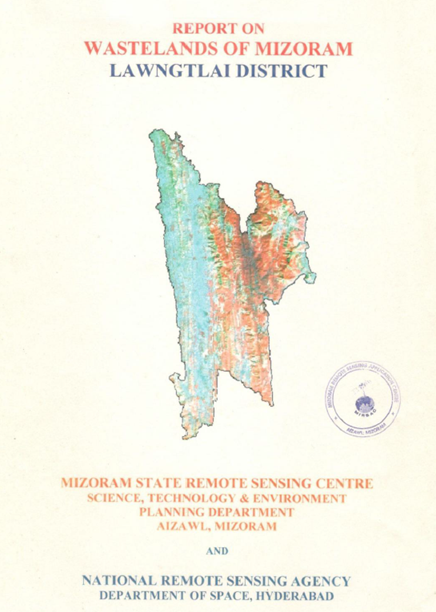
Wastelands of Mizoram - Lawngtlai district
The “Report on Wastelands of Mizoram – Lawngtlai District” was prepared under the National Wastelands Atlas Updation Programme coordinated by the Nati...
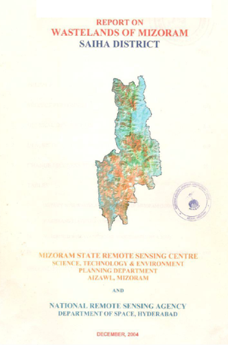
Wastelands of Mizoram – Saiha District
The Report on Wastelands of Mizoram – Saiha District was prepared under the initiative of National Wasteland Atlas Updation Programme, a nationwide re...
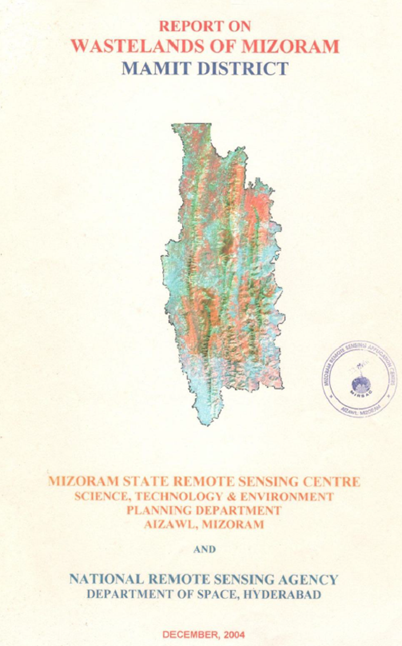
Wastelands on Mizoram - Mamit district
The “Report on Wastelands of Mizoram – Mamit District” was prepared under the national Wastelands Atlas Updation Programme coordinated by the National...