Project Information
| Code | MIRSAC-PRJ-20 |
|---|---|
| Category | Agriculture & Allied |
| Time Period | January 2007 |
| Funding Agency | Mizoram Remote Sensing Application Centre (MRSAC) |
Mapping of Potential areas for Wet Rice Cultivation in Mizoram
Agriculture
WRC
Wet Rice Cultivation
Mizoram
Potential areas
Paddy
Project Description
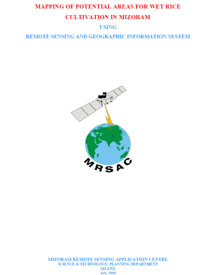
The Mapping of Potential Areas for Wet Rice Cultivation in Mizoram using Remote Sensing and GIS was undertaken as an in-house project by the Mizoram Remote Sensing Application Centre (MRSAC) under the Science & Technology, Planning Department, Government of Mizoram, and completed in 2008. The study was initiated to address the limited availability of level and gently sloping land suitable for wet rice cultivation in Mizoram’s predominantly mountainous terrain and to provide reliable spatial information for strengthening food-production planning.
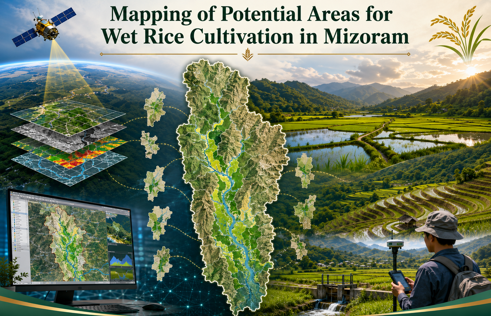
The project covered the entire State of Mizoram and examined all eight districts. Its main objective was to identify, delineate and digitally map potential wet rice cultivation areas, together with supporting thematic information on slope and land use/land cover. The study used IRS-1D LISS-III satellite imagery with 23.5-metre spatial resolution, Survey of India topographic sheets at 1:50,000 scale, ancillary records and field observations. Image processing and interpretation were carried out using ERDAS Imagine, while spatial integration, analysis and map preparation were undertaken through ARC/INFO GIS. Field verification, handheld GPS observations and local information from Village Councils were used to validate doubtful or inaccessible locations.
The outputs were designed primarily for the Agriculture Department, Minor Irrigation Department, district planning authorities and other development agencies involved in land development, irrigation and agricultural infrastructure. The district-wise and statewide maps provide a common scientific reference for identifying priority valleys, river plains and foothill areas where wet rice cultivation and irrigation development may be feasible.
The report and digital database are useful for planning new irrigation schemes, improving existing wet rice areas, assessing accessibility and infrastructure requirements, prioritizing field investigations and preparing area-specific agricultural programmes. They also provide a baseline for future updating with higher-resolution satellite data. Overall, the project demonstrates how Remote Sensing, GIS and ground verification can support more objective, efficient and location-specific planning for enhancing rice production and improving food security in Mizoram.
Summarize Metadata
Mapping Scale: 1:50,000
Satellite data & Year: IRS 1D – LISS III (2006)
Study area: Mizoram
Collaborating/Funding Agency: Mizoram Remote Sensing Application Centre
No. of Report(s) published: 1
Project Period: 2007 – 2008
The project covered the entire State of Mizoram and examined all eight districts. Its main objective was to identify, delineate and digitally map potential wet rice cultivation areas, together with supporting thematic information on slope and land use/land cover. The study used IRS-1D LISS-III satellite imagery with 23.5-metre spatial resolution, Survey of India topographic sheets at 1:50,000 scale, ancillary records and field observations. Image processing and interpretation were carried out using ERDAS Imagine, while spatial integration, analysis and map preparation were undertaken through ARC/INFO GIS. Field verification, handheld GPS observations and local information from Village Councils were used to validate doubtful or inaccessible locations.
The outputs were designed primarily for the Agriculture Department, Minor Irrigation Department, district planning authorities and other development agencies involved in land development, irrigation and agricultural infrastructure. The district-wise and statewide maps provide a common scientific reference for identifying priority valleys, river plains and foothill areas where wet rice cultivation and irrigation development may be feasible.
The report and digital database are useful for planning new irrigation schemes, improving existing wet rice areas, assessing accessibility and infrastructure requirements, prioritizing field investigations and preparing area-specific agricultural programmes. They also provide a baseline for future updating with higher-resolution satellite data. Overall, the project demonstrates how Remote Sensing, GIS and ground verification can support more objective, efficient and location-specific planning for enhancing rice production and improving food security in Mizoram.
Summarize Metadata
Mapping Scale: 1:50,000
Satellite data & Year: IRS 1D – LISS III (2006)
Study area: Mizoram
Collaborating/Funding Agency: Mizoram Remote Sensing Application Centre
No. of Report(s) published: 1
Project Period: 2007 – 2008
Related Publications
1