Project Information
| Code | MIRSAC-PRJ-8 |
|---|---|
| Category | Geosciences & Disaster Management |
| Time Period | April 2004 |
| Funding Agency | Relief & Rehabilitation Department, Government of Mizoram |
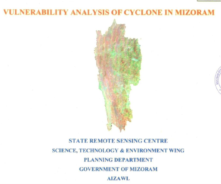
Vulnerability analysis of cyclone in Mizoram
Disaster
Cyclone
Disaster management
Mizoram
Project Description
The Vulnerability Analysis of Cyclone in Mizoram State is a key initiative by the State Remote Sensing Centre (SRSC), under the Science, Technology & Environment Wing, Planning Department, Government of Mizoram, Aizawl. Initiated following a Hazard Mapping meeting on April 13, 2004, chaired by Pu K. Riachho, Secretary of Relief & Rehabilitation, the project received funding from the Relief & Rehabilitation Department. The project harnessed SRSC's expertise in remote sensing for rapid execution, completed in December 2004.
Advanced geospatial technologies formed the backbone, including visual analysis of IRS LISS-III False Colour Composites (FCC), Survey of India (SOI) topographical maps, and historical cyclone records (1985–2004) from district Deputy Commissioners and Relief & Rehabilitation Directorate. Integrated with 2001 Census data, ArcInfo GIS software enabled classification of 828 villages/towns/wards into vulnerability zones (high, medium, low) based on occurrence, frequency, physiography (ridge/hill-top vs. slope/valley), aspect, and altitude. This produced detailed thematic maps and tables overlaying cyclone-prone locations across Mizoram's eight districts.
The primary objective was to assess cyclone vulnerability statewide for enhanced disaster preparedness and mitigation and the first such effort by SRSC. Mizoram, wedged between Bangladesh/Myanmar with NNW-SSE trending ridges (elev. 40–2,157 m, e.g., Phawngpui), young tertiary sediments (Surma/Barail groups), trellis/dendritic drainage (e.g., Tlawng, Chhimtuipui rivers), and humid tropical climate (250–350 cm rainfall), faces cyclone tails from Bay of Bengal (post/pre-monsoon). Impacts include house/powerline damage, road blockages, crop/livestock losses, amplified by predominant Assam-type/timber-thatched structures on exposed ridges. The study underscores urgency for risk mapping in this topographically vulnerable, agriculturally dependent region with 888,573 population (2001).
Generated reports/maps for village/ward/district-wise vulnerability (location/aspect/altitude analyses), cyclone history overlays are transformative for city/town planning. They guide resilient zoning (avoiding saddles/ridge-tops >501 m), building codes (wind-resistant designs: sloping roofs, anchors, braces), site selection (leeward/shielded), and infrastructure (reinforced walls, windbreaks). Planners can prioritize retrofitting (e.g., J-bolts, bands), integrate into District Disaster Management Plans, and foster mitigation (e.g., tree belts). This database empowers disaster management authorities to minimize losses, enhance recovery, and build cyclone-resilient settlements amid frequent moderate storms.
Summarize Metadata
Mapping Scale: 1:50,000
Satellite data & Year: IRS LISS III (2003)
Study area: Mizoram
Collaborating/Funding Agency: Relief & Rehabilitation Department, Govt. of Mizoram
No. of Report(s) published: 1
Project Period: 2004
Related Publications
1