Project Information
| Code | MIRSAC-PRJ-10 |
|---|---|
| Category | Multi-Thematic |
| Time Period | March 2001 |
| Funding Agency | Science, Technology & Environment Wing, Planning Department, Government of Mizoram |
Environmental Studies of Aizawl City
Aizawl city
LULC
Geology
Spatial planning
Climate
Environment
Project Description
The project "Environmental Studies of Aizawl City Using Remote Sensing and GIS", undertaken by the Mizoram State Remote Sensing Centre (MSRSC), was designed to develop a comprehensive geospatial database for assessing the environmental status of Aizawl city and to provide scientific inputs for sustainable urban planning. Rapid population growth, unplanned expansion, and increasing developmental activities on the city's fragile hill slopes have intensified environmental problems, including landslides, soil erosion, water scarcity, degradation of natural vegetation, and inadequate urban infrastructure. The study demonstrates the application of Remote Sensing (RS) and Geographic Information System (GIS) technologies as effective tools for integrated environmental assessment and decision support.
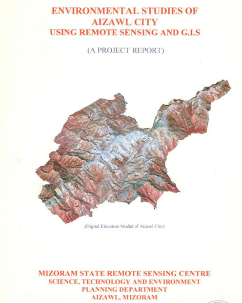
The study covers the entire Aizawl Municipal Area (approximately 12,900 ha) situated between 23°39'–23°50' N latitude and 92°39'–92°47' E longitude. Multi-source satellite imagery, Survey of India topographic maps, geological and meteorological data, field investigations, GPS observations, and laboratory analyses were integrated within a GIS environment to generate a series of thematic layers. These include land use/land cover, geology, geomorphology, soils, drainage, water resources, terrain characteristics (slope, aspect and elevation), infrastructure, and landslide hazard zonation.
The investigation revealed that urban development has largely occurred along narrow ridge tops and steep hill slopes, many exceeding 35–45% slope, significantly increasing the city's vulnerability to slope failures. Geological analysis showed that the folded sedimentary formations of the Surma Group, together with intense monsoonal rainfall exceeding 2,000 mm annually, constitute the primary natural factors responsible for frequent landslides and severe soil erosion. Updated land use mapping indicated rapid expansion of built-up areas at the expense of forests and open spaces, reflecting the city's continued urban sprawl. Water resource assessment identified increasing pressure on both surface and groundwater supplies due to rising population and urban demand, while soil investigations highlighted the prevalence of acidic, erosion-prone soils whose productivity declines rapidly following vegetation removal.
An important outcome of the project was the preparation of a GIS-based land capability and water resources plan, landslide hazard zonation, drainage, slope, soil and land use information to identify areas of varying instability which could aid in natural resource based and scientific development of the city. The study also established a comprehensive environmental database that supports resource inventory, hazard assessment and long-term urban monitoring.
Based on the findings, the project recommends scientific land-use zoning, regulation of construction on unstable slopes, watershed conservation, afforestation, improved drainage and solid waste management, protection of water sources, and continuous environmental monitoring using GIS. Overall, the study demonstrates that the integration of Remote Sensing and GIS provides a robust scientific framework for urban environmental management, enabling planners and policymakers to balance future urban growth with environmental conservation and disaster risk reduction in Aizawl city.
Summarize Metadata
Mapping Scale: 1:12,500
Satellite data & Year: IRS 1D PAN (February 2001) & LISS III (May 2002)
Study area: Aizawl City
Collaborating/Funding Agency: Science, Technology & Environment Wing, Planning Department, Government of Mizoram
No. of Report(s) published: 1
Project Period: 2001 - 2005
Related Publications
1