Project Information
| Code | MIRSAC-PRJ-21 |
|---|---|
| Category | Multi-Thematic |
| Time Period | August 2007 |
| Funding Agency | Science, Technology & Environment Wing, Planning Department, Government of Mizoram |
Environmental Studies of Lunglei town
Environment
Spatial planning
Sustainable development
Lunglei
Natural resources
Project Description
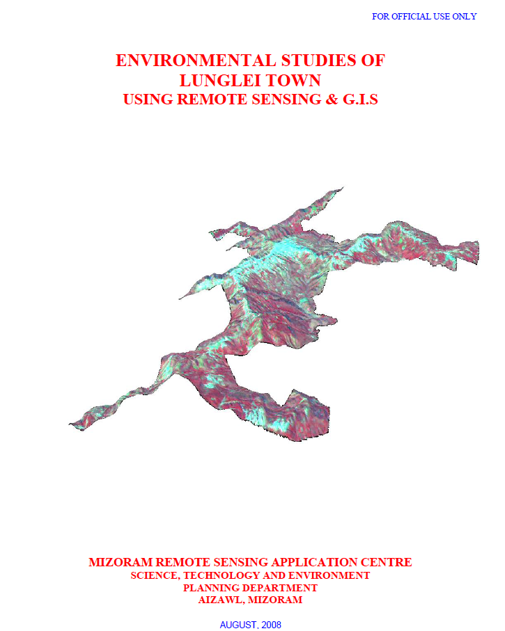
The Environmental Studies of Lunglei Town project was undertaken by the Mizoram Remote Sensing Application Centre (MIRSAC) under the Science, Technology & Environment Wing, Planning Department, Government of Mizoram, and completed in 2008. The study was initiated in response to increasing developmental pressure and environmental concerns in Lunglei, including heavy rainfall, unstable slopes and rock formations, seasonal water scarcity, vegetation degradation and uncontrolled human activities. The project recognized the need for a reliable environmental database to support more scientific and sustainable urban development.
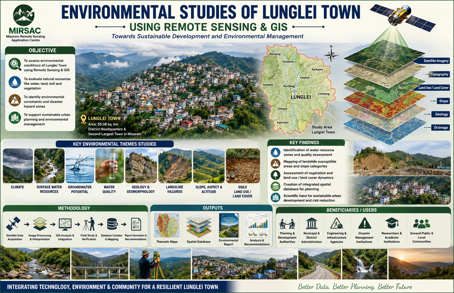
The study covered Lunglei Town, the headquarters of Lunglei District and the second-largest settlement in Mizoram, with an area of about 55.08 sq. km. The project applied Remote Sensing and Geographic Information System (GIS) technologies, supported by field investigations and other environmental datasets, to analyse the interrelationships between natural conditions and human activities. The major themes examined included climate, surface-water resources, groundwater potential, water quality, geology, geomorphology, landslide hazards, slope, aspect, altitude, soils and land use/land cover. The study also aimed to formulate recommendations for environmental management and future development planning.
The project provides an integrated environmental framework for understanding the physical constraints and resource potential of Lunglei Town. Its thematic maps, spatial database, field observations and accompanying report are valuable for urban and infrastructure planning, water-resource management, landslide-risk reduction, land-use regulation, environmental conservation and identification of suitable areas for future development.
The generated information is particularly useful to the Planning Department, municipal and district authorities, engineering and development agencies, disaster-management institutions, researchers and other government departments requiring reliable environmental baseline data. By bringing multiple environmental parameters into a common geospatial framework, the project provides an important reference for monitoring environmental change and promoting safer, better informed and more sustainable development of Lunglei Town.
Summarize Metadata
Mapping Scale: 1:10,000
Satellite data & Year: ResourceSat – LISS IV (2007) & Cartosat-1 (2006)
Study area: Lunglei town
Collaborating/Funding Agency: Science & Technology wing, Planning Department
No. of Report(s) published: 1
Project Period: 2007 – 2008
The study covered Lunglei Town, the headquarters of Lunglei District and the second-largest settlement in Mizoram, with an area of about 55.08 sq. km. The project applied Remote Sensing and Geographic Information System (GIS) technologies, supported by field investigations and other environmental datasets, to analyse the interrelationships between natural conditions and human activities. The major themes examined included climate, surface-water resources, groundwater potential, water quality, geology, geomorphology, landslide hazards, slope, aspect, altitude, soils and land use/land cover. The study also aimed to formulate recommendations for environmental management and future development planning.
The project provides an integrated environmental framework for understanding the physical constraints and resource potential of Lunglei Town. Its thematic maps, spatial database, field observations and accompanying report are valuable for urban and infrastructure planning, water-resource management, landslide-risk reduction, land-use regulation, environmental conservation and identification of suitable areas for future development.
The generated information is particularly useful to the Planning Department, municipal and district authorities, engineering and development agencies, disaster-management institutions, researchers and other government departments requiring reliable environmental baseline data. By bringing multiple environmental parameters into a common geospatial framework, the project provides an important reference for monitoring environmental change and promoting safer, better informed and more sustainable development of Lunglei Town.
Summarize Metadata
Mapping Scale: 1:10,000
Satellite data & Year: ResourceSat – LISS IV (2007) & Cartosat-1 (2006)
Study area: Lunglei town
Collaborating/Funding Agency: Science & Technology wing, Planning Department
No. of Report(s) published: 1
Project Period: 2007 – 2008
Related Publications
1