Access Options
Member Only Content
Please log in to view availability or download this document.
| Published | August 28, 2008 |
|---|---|
| Type | Project Report |
| Thematic Category | Multi-Thematic |
| Project | Environmental Studies of Lunglei town |
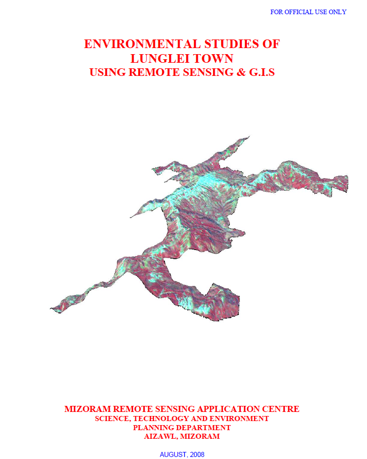
Environmental Studies of Lunglei town using Remote Sensing and GIS
Abstract / Description
The project “Environmental Studies of Lunglei Town using Remote Sensing & GIS”, undertaken by the Mizoram Remote Sensing Application Centre (MIRSAC), Science, Technology & Environment, Planning Department, Government of Mizoram, and published in August 2008, was designed to develop an integrated environmental database for sustainable urban planning in Lunglei. The study addressed growing concerns associated with heavy rainfall, unstable slopes and rocks, water scarcity during the dry season, vegetation degradation, pollution and expanding human activities. Its objectives covered the assessment of climate, surface-water resources, groundwater potential, water quality, geology, geomorphology, landslide hazards, slope, aspect, altitude, soils and land use/land cover, culminating in recommendations for environmental management and development planning.
The study covered 55.08 sq. km of Lunglei Town, the second-largest settlement in Mizoram. It employed Cartosat-I PAN data (2006), Resourcesat LISS-IV data (2007), Survey of India topographic sheets, meteorological and socio-economic information, departmental records and extensive ground observations. Image processing and interpretation were carried out using ERDAS Imagine, while spatial integration and analysis were undertaken in ARC/INFO GIS. Field verification included handheld GPS observations of landslides, springs, wells, geology and vegetation, along with soil sampling and laboratory analysis.
The integrated assessment highlighted several environmental constraints. Groundwater potential mapping classified only 11.04% of the town as Very Good and 21.00% as Good, whereas 38.02% fell within the Poor category, indicating significant dependence on surface and harvested rainwater resources. The report notes an annual rainfall of approximately 3,352 mm and demonstrates that a 60 sq. m roof could theoretically harvest about 201,120 litres annually, underscoring the potential of rooftop rainwater harvesting.
Landslide susceptibility emerged as another major concern. The study area forms part of the Lunglei anticline, characterized by steep slopes, soft sedimentary rocks, lineaments and faults, with about 45.32 km of mapped structural discontinuities. Landslide zonation incorporated slope, lithology, geomorphology, geological structure, land use, road cutting and known landslides. The Very High Hazard Zone alone covers 1.07 sq. km (1.94%), including parts of Theiriat, Hauruang, Hrangchalkawn, Bazar Veng and western Zotlang.
Land-use analysis shows that built-up land occupies 6.77 sq. km (12.29%), while open and dense scrub together cover over 41%, reflecting extensive disturbed vegetation. Land-capability assessment further indicates that 38.44% of the area falls under Class IVe, suitable mainly for agro-horticulture and related uses with erosion-control measures, whereas only 1.70% represents good arable Class IIe land.
Overall, the project established a multidisciplinary environmental baseline for Lunglei Town and demonstrated the value of integrating Remote Sensing, GIS and field investigations for urban environmental assessment. Its thematic maps, hazard information and resource databases provide an important scientific foundation for land-use regulation, water-resource development, landslide mitigation, infrastructure planning, vegetation conservation and long-term sustainable urban development.
Summarized Metadata
Mapping Scale: 1:10,000
Satellite data & Year: ResourceSat – LISS IV (2007) & Cartosat-1 (2006)
Thematic sub-category: Multi-Thematic
Collaborating/Funding Agency: Science & Technology wing, Planning Department
Report Publication Month/Year: August, 2008