Project Information
| Code | MIRSAC-PRJ-24 |
|---|---|
| Category | Forestry & Environment |
| Time Period | February 2007 |
| Funding Agency | Ministry of Environment & Forest; Space Application Centre, Ahmedabad |
Wetland Inventory & Assessment of Mizoram
Wetlands
Forestry
Inventory
Water bodies
Project Description
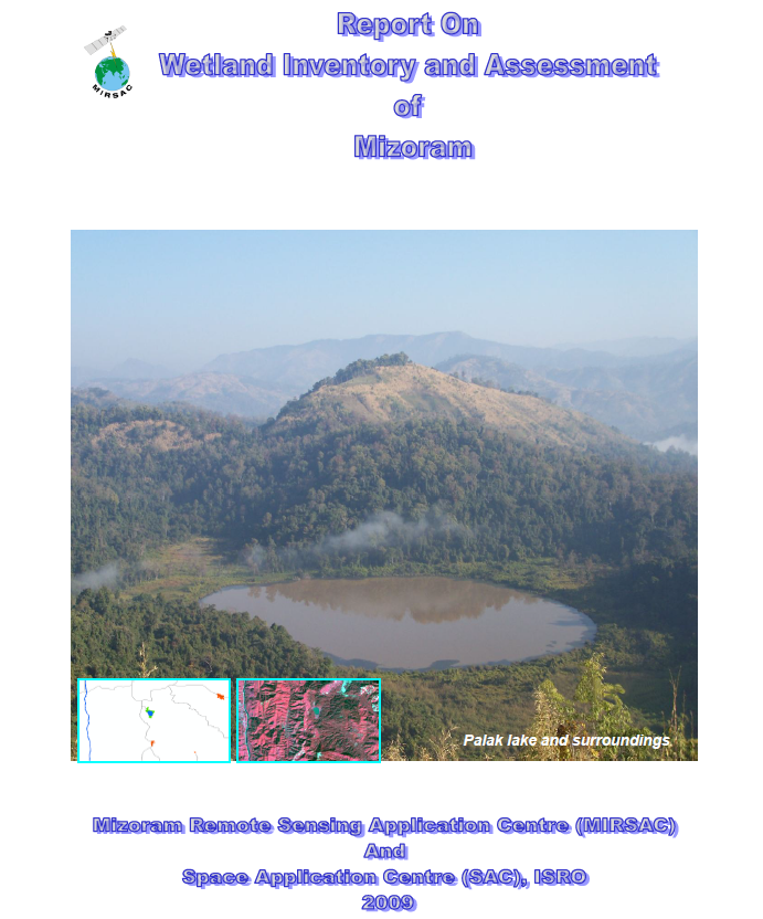
The Wetland Inventory and Assessment of Mizoram was implemented as part of the National Wetland Inventory and Assessment (NWIA) Project, a nationwide initiative formulated by the Space Applications Centre (SAC), ISRO, Ahmedabad and funded by the Ministry of Environment & Forests, Government of India. For Mizoram, the work was carried out by the Mizoram Remote Sensing Application Centre (MIRSAC), with technical guidance and support from SAC and the North Eastern Space Applications Centre (NESAC), Umiam.
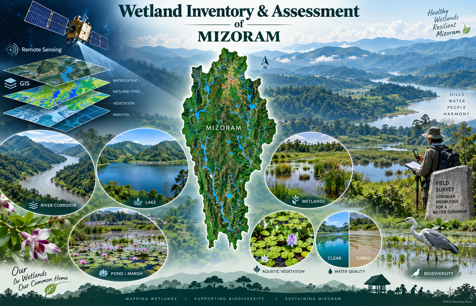
The project covered the entire State of Mizoram and aimed to create a systematic, standardized and spatially consistent inventory of wetlands at 1:50,000 scale. Its principal objectives were to map and classify wetlands, integrate supporting layers such as roads, settlements, drainage and administrative boundaries, create a seamless GIS database, and contribute to preparation of State-level and National Wetland Atlases.
The study made extensive use of Remote Sensing and GIS, particularly IRS-P6 LISS-III satellite data from pre-monsoon and post-monsoon periods, supported by ground-truth observations and ancillary spatial information. Wetlands were interpreted using a standardized NWIA classification framework, while digital image processing techniques and spectral indices such as NDWI, MNDWI, NDVI, NDPI and NDTI were used to delineate wetland extent, seasonal water spread, aquatic vegetation and qualitative turbidity. ERDAS Imagine, ARC/INFO and ArcGIS were used for image processing, database creation, spatial analysis and map preparation.
The resulting wetland maps, GIS layers, statistics and report provide an important baseline for wetland conservation, biodiversity management, water-resource planning, environmental monitoring and land-use decision-making. They are particularly useful to government departments, planners, researchers, conservation agencies and other stakeholders requiring standardized and spatially referenced information on Mizoram’s rivers, lakes, ponds and other wetland ecosystems. The project also ensures that Mizoram’s wetland information is integrated into a nationally compatible geospatial database for future monitoring and policy support.
Summarize Metadata
Mapping Scale: 1:50,000
Satellite data & Year: IRS LISS III (2006 & 2007)
Study area: Mizoram
Collaborating/Funding Agency: Ministry of Environment & Forest, Govt. of India & Space Application Centre, Ahmedabad
No. of Report(s) published: 1
Project Period: 2006 – 2009
The project covered the entire State of Mizoram and aimed to create a systematic, standardized and spatially consistent inventory of wetlands at 1:50,000 scale. Its principal objectives were to map and classify wetlands, integrate supporting layers such as roads, settlements, drainage and administrative boundaries, create a seamless GIS database, and contribute to preparation of State-level and National Wetland Atlases.
The study made extensive use of Remote Sensing and GIS, particularly IRS-P6 LISS-III satellite data from pre-monsoon and post-monsoon periods, supported by ground-truth observations and ancillary spatial information. Wetlands were interpreted using a standardized NWIA classification framework, while digital image processing techniques and spectral indices such as NDWI, MNDWI, NDVI, NDPI and NDTI were used to delineate wetland extent, seasonal water spread, aquatic vegetation and qualitative turbidity. ERDAS Imagine, ARC/INFO and ArcGIS were used for image processing, database creation, spatial analysis and map preparation.
The resulting wetland maps, GIS layers, statistics and report provide an important baseline for wetland conservation, biodiversity management, water-resource planning, environmental monitoring and land-use decision-making. They are particularly useful to government departments, planners, researchers, conservation agencies and other stakeholders requiring standardized and spatially referenced information on Mizoram’s rivers, lakes, ponds and other wetland ecosystems. The project also ensures that Mizoram’s wetland information is integrated into a nationally compatible geospatial database for future monitoring and policy support.
Summarize Metadata
Mapping Scale: 1:50,000
Satellite data & Year: IRS LISS III (2006 & 2007)
Study area: Mizoram
Collaborating/Funding Agency: Ministry of Environment & Forest, Govt. of India & Space Application Centre, Ahmedabad
No. of Report(s) published: 1
Project Period: 2006 – 2009
Related Publications
1