Project Information
| Code | MIRSAC-PRJ-26 |
|---|---|
| Category | Forestry & Environment |
| Time Period | February 2007 |
| Funding Agency | North Eastern Space Applications Centre (NESAC) |
Study of Bamboo Flowering in Mizoram
Bamboo flowering
Bamboo
Forests
Bamboo Index
Project Description
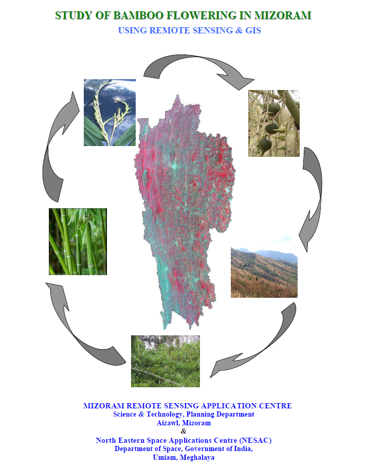
The project “Study of Bamboo Flowering in Mizoram using Remote Sensing and GIS” was undertaken as a collaborative initiative of the Mizoram Remote Sensing Application Centre (MIRSAC) and the North Eastern Space Applications Centre (NESAC), Department of Space, Government of India. The project originated from a proposal submitted by MIRSAC to NESAC in 2007, was fully funded by NESAC, and implemented by MIRSAC as the working centre, with technical guidance and supervision from NESAC.
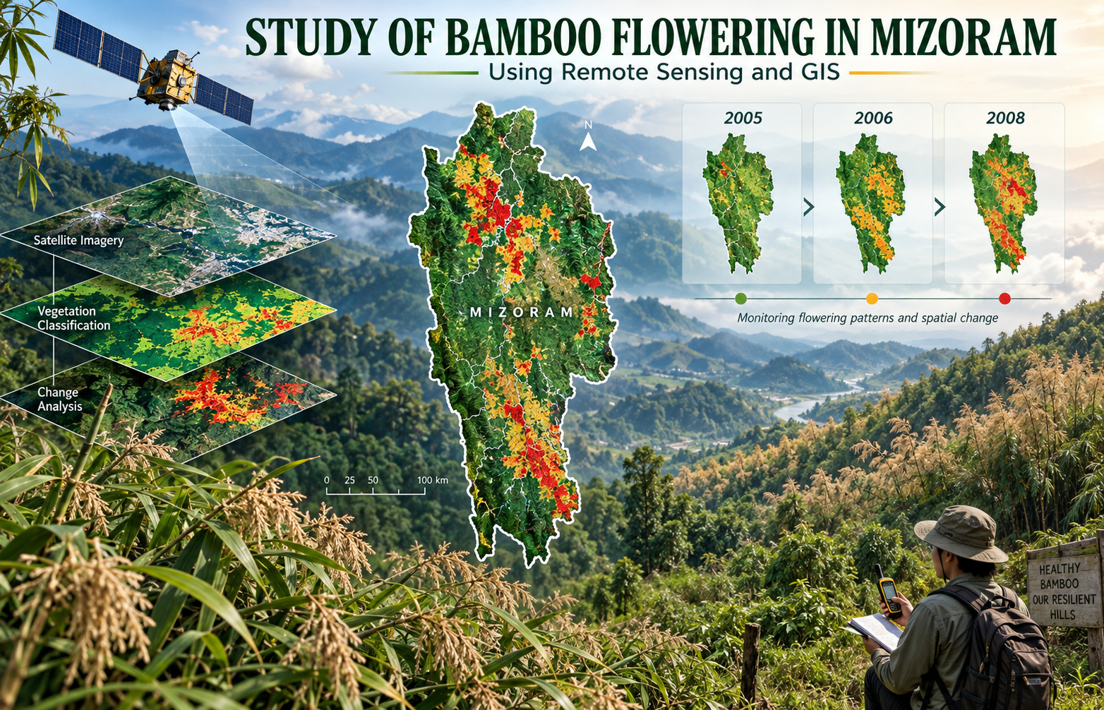
The study covered the entire bamboo-growing areas of Mizoram and was initiated in response to the widespread gregarious bamboo flowering that reached its peak around 2007. Its main objective was to document the general pattern of bamboo flowering in the State and to map and analyze changes in flowering areas over three observation years—2005, 2006 and 2008. This temporal approach provided an important basis for understanding the progression of flowering and its implications for bamboo resources, the environment and rural livelihoods.
The project made extensive use of IRS-P6 LISS-III satellite imagery, supported by Survey of India topographic maps, existing land-use information, previous bamboo inventories and field verification. Image processing and analysis were carried out using ERDAS Imagine and ARC/INFO GIS, with techniques such as supervised classification, NDVI, Stress Index, Bamboo Index, image enhancement, mosaicking and GIS-based spatial analysis used to identify bamboo forests and flowering areas.
The resulting maps, temporal datasets and GIS database provide a valuable reference for bamboo resource management, forest monitoring, regeneration studies, fire-risk assessment, livelihood planning and future flowering-cycle research. The project is particularly useful to forestry and bamboo development agencies, planners, researchers and policy makers because it establishes a scientifically derived geospatial record of bamboo flowering across Mizoram and provides baseline information for future modelling, monitoring and sustainable management of this economically and ecologically important resource.
Summarize Metadata
Mapping Scale: 1:50,000
Satellite data & Year: IRS P6 LISS-III (2005, 2006, 2008)
Study area: Mizoram
Collaborating/Funding Agency: North Eastern Space Applications Centre (NESAC)
No. of Report(s) published: 1
Project Period: 2007 – 2009
The study covered the entire bamboo-growing areas of Mizoram and was initiated in response to the widespread gregarious bamboo flowering that reached its peak around 2007. Its main objective was to document the general pattern of bamboo flowering in the State and to map and analyze changes in flowering areas over three observation years—2005, 2006 and 2008. This temporal approach provided an important basis for understanding the progression of flowering and its implications for bamboo resources, the environment and rural livelihoods.
The project made extensive use of IRS-P6 LISS-III satellite imagery, supported by Survey of India topographic maps, existing land-use information, previous bamboo inventories and field verification. Image processing and analysis were carried out using ERDAS Imagine and ARC/INFO GIS, with techniques such as supervised classification, NDVI, Stress Index, Bamboo Index, image enhancement, mosaicking and GIS-based spatial analysis used to identify bamboo forests and flowering areas.
The resulting maps, temporal datasets and GIS database provide a valuable reference for bamboo resource management, forest monitoring, regeneration studies, fire-risk assessment, livelihood planning and future flowering-cycle research. The project is particularly useful to forestry and bamboo development agencies, planners, researchers and policy makers because it establishes a scientifically derived geospatial record of bamboo flowering across Mizoram and provides baseline information for future modelling, monitoring and sustainable management of this economically and ecologically important resource.
Summarize Metadata
Mapping Scale: 1:50,000
Satellite data & Year: IRS P6 LISS-III (2005, 2006, 2008)
Study area: Mizoram
Collaborating/Funding Agency: North Eastern Space Applications Centre (NESAC)
No. of Report(s) published: 1
Project Period: 2007 – 2009
Related Publications
1