Access Options
Member Only Content
Please log in to view availability or download this document.
| Published | August 12, 2009 |
|---|---|
| Type | Project Report |
| Thematic Category | Forestry & Environment |
| Project | Study of Bamboo Flowering in Mizoram |
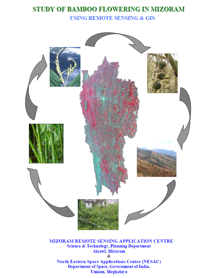
Study of Bamboo Flowering in Mizoram using Remote Sensing & GIS
Abstract / Description
The project “Study of Bamboo Flowering in Mizoram using Remote Sensing and GIS” was undertaken collaboratively by the Mizoram Remote Sensing Application Centre (MIRSAC) and the North Eastern Space Applications Centre (NESAC), Department of Space, Government of India, with financial and technical support from NESAC. The study was conceived in response to the large-scale gregarious bamboo flowering that culminated around 2007 and its associated ecological and socio-economic consequences. Its primary objectives were to document the general pattern of bamboo flowering in Mizoram, map flowering areas, and analyse their spatial progression using multi-temporal satellite data from 2005, 2006 and 2008.
The methodology employed IRS-P6 LISS-III satellite imagery, supported by ancillary information, ground verification and GIS-based interpretation. Image processing included geo-rectification, enhancement, digital classification and application of vegetation-related models such as NDVI, Bamboo Index and Stress Index. District-wise bamboo layers were generated for all eight districts for each observation year, producing 24 interpreted thematic layers that were cross-referenced for change detection and statistical assessment. The final database distinguished non-flowering bamboo, flowering bamboo and newly regenerated bamboo areas, while field-derived parameters were also used to estimate losses in bamboo culm resources.
The 2005 baseline assessment estimated 5,697.29 sq. km of bamboo cover across Mizoram. In 2006, bamboo flowering was still relatively limited, accounting for about 6.05% of the mapped bamboo area, with Aizawl recording the largest flowering extent and Champhai showing a comparatively high proportional incidence. By 2008, flowering had expanded dramatically to 3,312.61 sq. km, representing 56.88% of the total bamboo area mapped for that year. Lunglei recorded the largest absolute flowering area at 854.63 sq. km, while Saiha and Kolasib showed very high proportional flowering levels of 83.07% and 81.15%, respectively.
The cumulative analysis indicates that the flowering wave accelerated sharply between 2006 and 2008. When referenced to the original 2005 bamboo cover, the total flowering area during 2006–2008 was estimated at 3,675.20 sq. km, or 64.50% of the 2005 bamboo area. The study also estimated the loss of approximately 3,324.63 million bamboo culms, equivalent to 66.77% of the estimated live culm stock in 2005. Lawngtlai and Saiha experienced particularly severe proportional culm losses, exceeding 95%.
Overall, the project successfully established a comprehensive geospatial record of bamboo flowering progression in Mizoram and demonstrated the value of multi-temporal Remote Sensing and GIS for monitoring large-scale vegetation change. The resulting maps, change matrices and bamboo-loss estimates provide an important scientific baseline for bamboo regeneration studies, resource management, forest-fire preparedness, rural livelihood planning and future modelling of cyclical bamboo flowering events.
Summarized Metadata
Mapping Scale: 1:50,000
Satellite data & Year: IRS P6 LISS-III (2005, 2006, 2008)
Thematic sub-category: Environment & Forest
Collaborating/Funding Agency: North Eastern Space Applications Centre (NESAC)
Report Publication Month/Year: August, 2009