Project Information
| Code | MIRSAC-PRJ-27 |
|---|---|
| Category | Land Resources |
| Time Period | March 2007 |
| Funding Agency | National Remote Sensing Centre (NRSC), Hyderabad |
National Land Degradation mapping (Mizoram)
Land degradation
Land use
Wasteland
Soil erosion
Project Description
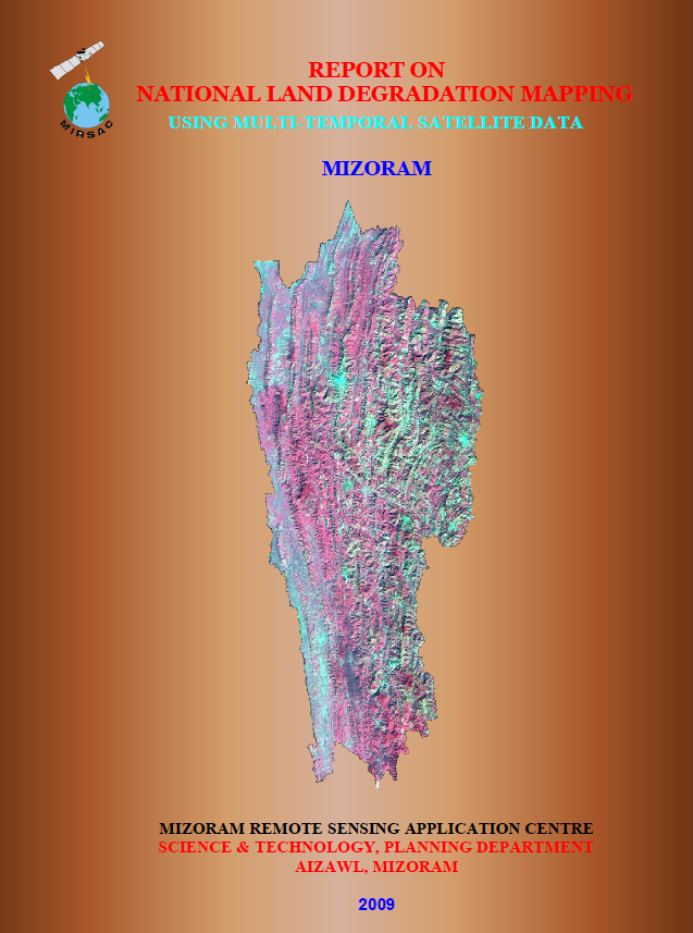
The National Land Degradation Mapping of Mizoram using Multi-temporal Satellite Data was undertaken as part of the Natural Resources Census Programme of the Department of Space, Government of India. The nationwide project was coordinated by the National Remote Sensing Centre (NRSC), Hyderabad, while the Mizoram component was implemented by the Mizoram Remote Sensing Application Centre (MIRSAC), Science & Technology, Planning Department, Government of Mizoram, with technical guidance and support from NRSC.
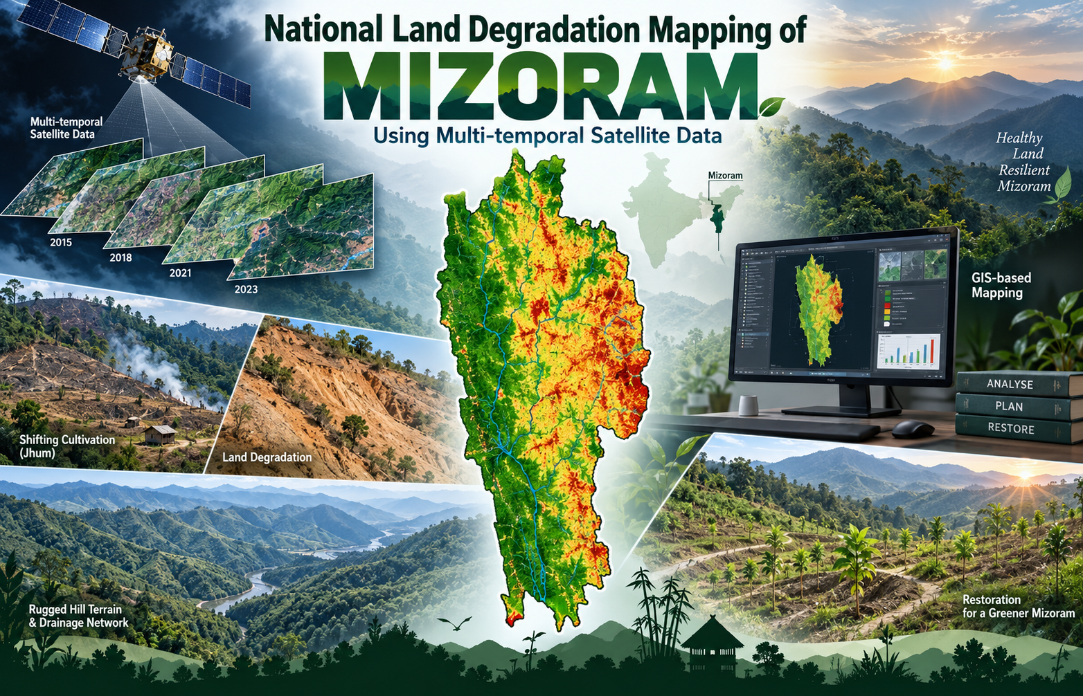
The project covered the entire State of Mizoram, a predominantly hilly and rugged region where steep slopes, heavy rainfall and widespread shifting cultivation make the landscape particularly susceptible to soil erosion and other forms of land degradation. The study aimed to prepare a scientifically standardized land degradation map and digital geospatial database at 1:50,000 scale, providing consistent information for both State-level and national-level planning.
The assessment made extensive use of multi-temporal IRS-P6 LISS-III satellite data representing three agricultural seasons—Kharif, Rabi and Zaid during 2005–2006, supported by field observations and ancillary spatial information. Remote Sensing and GIS techniques were used to identify and characterize degraded land, analyse its spatial and temporal behaviour, and organize the results using the standardized NRC-LDM 50K classification and codification framework. The project also integrated base information to create seamless district- and State-level digital datasets.
The importance of the project lies in providing a reliable geospatial foundation for understanding where land resources are under stress and where restoration efforts should be prioritized. The resulting maps, database and report are particularly useful for land reclamation, watershed and soil-conservation programmes, rational land-use planning, agricultural development, forest and environmental management, and monitoring of degraded landscapes.
For planners, researchers, development departments and natural-resource managers, the project provides a standardized baseline against which future changes can be assessed. It also enables Mizoram’s land-degradation information to be integrated into the broader national resource database, strengthening evidence-based planning and long-term sustainable management of the State’s fragile hill environment.
Summarize Metadata
Mapping Scale: 1:50,000
Satellite data & Year: IRS 1D LISS-III (2005 & 2006)
Study area: Mizoram
Collaborating/Funding Agency: National Remote Sensing Centre (NRSC)
No. of Report(s) published: 1
Project Period: 2007 – 2009
The project covered the entire State of Mizoram, a predominantly hilly and rugged region where steep slopes, heavy rainfall and widespread shifting cultivation make the landscape particularly susceptible to soil erosion and other forms of land degradation. The study aimed to prepare a scientifically standardized land degradation map and digital geospatial database at 1:50,000 scale, providing consistent information for both State-level and national-level planning.
The assessment made extensive use of multi-temporal IRS-P6 LISS-III satellite data representing three agricultural seasons—Kharif, Rabi and Zaid during 2005–2006, supported by field observations and ancillary spatial information. Remote Sensing and GIS techniques were used to identify and characterize degraded land, analyse its spatial and temporal behaviour, and organize the results using the standardized NRC-LDM 50K classification and codification framework. The project also integrated base information to create seamless district- and State-level digital datasets.
The importance of the project lies in providing a reliable geospatial foundation for understanding where land resources are under stress and where restoration efforts should be prioritized. The resulting maps, database and report are particularly useful for land reclamation, watershed and soil-conservation programmes, rational land-use planning, agricultural development, forest and environmental management, and monitoring of degraded landscapes.
For planners, researchers, development departments and natural-resource managers, the project provides a standardized baseline against which future changes can be assessed. It also enables Mizoram’s land-degradation information to be integrated into the broader national resource database, strengthening evidence-based planning and long-term sustainable management of the State’s fragile hill environment.
Summarize Metadata
Mapping Scale: 1:50,000
Satellite data & Year: IRS 1D LISS-III (2005 & 2006)
Study area: Mizoram
Collaborating/Funding Agency: National Remote Sensing Centre (NRSC)
No. of Report(s) published: 1
Project Period: 2007 – 2009
Related Publications
1