Access Options
Member Only Content
Please log in to view availability or download this document.
| Published | October 22, 2009 |
|---|---|
| Type | Project Report |
| Thematic Category | Land Resources |
| Project | National Land Degradation mapping (Mizoram) |
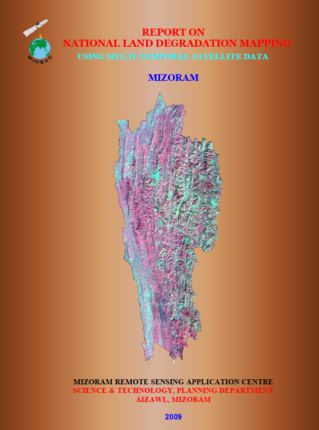
National Land Degradation Mapping using Multi-Temporal Satellite data - Mizoram
Abstract / Description
The project “National Land Degradation Mapping using Multi-temporal Satellite Data – Mizoram” was undertaken by the Mizoram Remote Sensing Application Centre (MIRSAC) as the State component of the nationwide land-degradation mapping programme initiated under the Natural Resources Census Programme of the Department of Space, Government of India and coordinated by the National Remote Sensing Centre (NRSC), Hyderabad. The study aimed to generate a standardized land-degradation map and digital database for Mizoram at 1:50,000 scale, using three-season multi-temporal IRS-P6 LISS-III data for Kharif, Rabi and Zaid periods of 2005–2006, following the prescribed NRC-LDM classification and codification framework.
Mizoram’s rugged hill terrain, steep slopes, high rainfall and extensive shifting cultivation make the State particularly vulnerable to soil erosion and associated land degradation. The assessment therefore focused on identifying the spatial extent, type and severity of degradation and integrating the results into seamless district- and State-level GIS databases suitable for planning, reclamation and monitoring.
The study found that water erosion was the dominant primary degradation process, affecting about 4,352.20 sq. km, or 20.63% of Mizoram’s geographical area. Of this, sheet erosion alone accounted for 4,332.62 sq. km (20.55%), making it by far the most widespread degradation class. Sheet erosion was particularly associated with current jhum areas and young abandoned jhum lands, where vegetation removal, steep slopes and intense rainfall accelerate topsoil loss.
A second major concern was soil acidification, which affected nearly 60% of the State, generally in the moderate acidic range. The report links this condition to leaching of base cations under heavy rainfall, resulting in reduced soil pH and impaired nutrient uptake. District-level analysis revealed substantial variation: Champhai recorded about 29.67% of its area under sheet erosion, Serchhip about 29.10%, Lawngtlai 24.37%, Saiha 19.80%, Lunglei 18.44%, Mamit 14.59%, and Kolasib 11.75%. Soil acidity was especially extensive in Kolasib (76.01%), Mamit (70.42%) and Lunglei (65.93%).
Overall, the project established that approximately one-fifth of Mizoram is affected by primary land degradation, predominantly through water erosion, while moderate soil acidity constitutes an even broader secondary constraint. The study highlights shifting cultivation as a major driver of erosion and recommends alternative cultivation systems and reclamation measures to arrest further degradation. The resulting maps and GIS database provide an important scientific baseline for soil and water conservation, watershed development, land reclamation, agricultural planning, jhum management, productivity improvement and future monitoring of landscape degradation across Mizoram.
Summarized Metadata
Mapping Scale: 1:50,000
Satellite data & Year: IRS 1D LISS-III (2005 & 2006)
Thematic sub-category: Land Resources, Soil
Collaborating/Funding Agency: National Remote Sensing Centre (NRSC)
Report Publication Month/Year: October, 2009