Project Information
| Code | MIRSAC-PRJ-28 |
|---|---|
| Category | Land Resources |
| Time Period | April 2007 |
| Funding Agency | National Remote Sensing Centre (NRSA), Hyderabad |
National Land Use Land Cover Mapping - Mizoram
Land use
Land Cover
LULC
National Resources Repository
Nationwide
Natural resources
Project Description
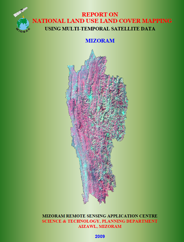
The National Land Use/Land Cover (LULC) Mapping of Mizoram using Multi-Temporal Satellite Data was undertaken as part of the Natural Resources Census Programme of the Department of Space, Government of India. The nationwide programme was coordinated by the National Remote Sensing Centre (NRSC), Hyderabad, while the Mizoram component was implemented by the Mizoram Remote Sensing Application Centre (MIRSAC) in close coordination with the North Eastern Space Applications Centre (NESAC), Shillong. The project was designed to generate an updated, standardized and spatially consistent LULC database for the State to support natural-resource planning and management.
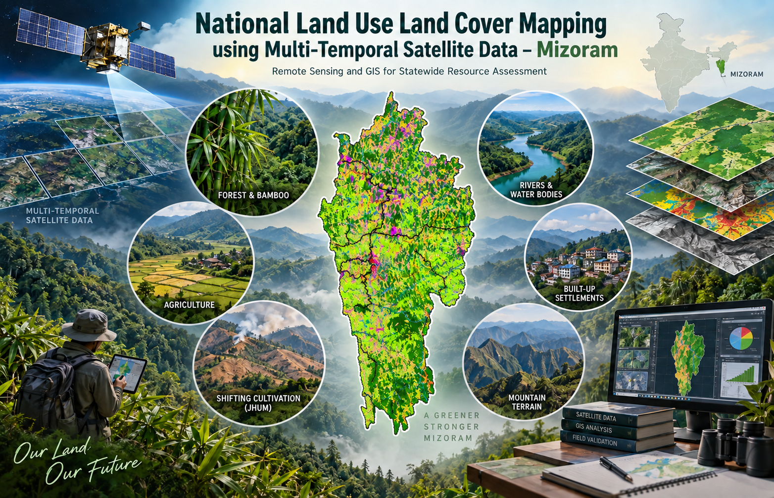
The study covered the entire State of Mizoram and used multi-temporal IRS-P6 LISS-III satellite data for 2005–2006, representing the Kharif, Rabi and Zaid seasons. These datasets were supplemented by field verification, Survey of India topographic maps at 1:50,000 scale, existing thematic maps, road and settlement information, census data and other statistical records. Standard Remote Sensing and GIS procedures were employed, following the NRC-LULC 50K classification and codification framework, to generate seamless district- and State-level digital databases. The mapping framework represented major land-use categories including built-up areas, agriculture, forest, bamboo, grassland, wasteland, water bodies and shifting cultivation.
The primary objective of the project was to provide a reliable geospatial representation of the State’s land-use and land-cover pattern and its seasonal characteristics. Such information is particularly important in Mizoram because of its rugged terrain, extensive forest cover, shifting cultivation and rapidly changing patterns of land utilization.
The resulting maps, GIS database and report provide valuable baseline information for government departments, planners, researchers and development agencies. They can support land-use planning, agricultural and forestry programmes, watershed management, infrastructure development, environmental monitoring, resource conservation and future change-detection studies. By adopting a nationally standardized methodology, the project also enables Mizoram’s LULC information to be integrated with the larger national natural-resource database for consistent monitoring and evidence-based planning.
Summarize Metadata
Mapping Scale: 1:50,000
Satellite data & Year: IRS P6 LISS-III (2005 & 2006)
Study area: Mizoram
Collaborating/Funding Agency: National Remote Sensing Centre (NRSC)
No. of Report(s) published: 1
Project Period: 2007 – 2009
The study covered the entire State of Mizoram and used multi-temporal IRS-P6 LISS-III satellite data for 2005–2006, representing the Kharif, Rabi and Zaid seasons. These datasets were supplemented by field verification, Survey of India topographic maps at 1:50,000 scale, existing thematic maps, road and settlement information, census data and other statistical records. Standard Remote Sensing and GIS procedures were employed, following the NRC-LULC 50K classification and codification framework, to generate seamless district- and State-level digital databases. The mapping framework represented major land-use categories including built-up areas, agriculture, forest, bamboo, grassland, wasteland, water bodies and shifting cultivation.
The primary objective of the project was to provide a reliable geospatial representation of the State’s land-use and land-cover pattern and its seasonal characteristics. Such information is particularly important in Mizoram because of its rugged terrain, extensive forest cover, shifting cultivation and rapidly changing patterns of land utilization.
The resulting maps, GIS database and report provide valuable baseline information for government departments, planners, researchers and development agencies. They can support land-use planning, agricultural and forestry programmes, watershed management, infrastructure development, environmental monitoring, resource conservation and future change-detection studies. By adopting a nationally standardized methodology, the project also enables Mizoram’s LULC information to be integrated with the larger national natural-resource database for consistent monitoring and evidence-based planning.
Summarize Metadata
Mapping Scale: 1:50,000
Satellite data & Year: IRS P6 LISS-III (2005 & 2006)
Study area: Mizoram
Collaborating/Funding Agency: National Remote Sensing Centre (NRSC)
No. of Report(s) published: 1
Project Period: 2007 – 2009
Related Publications
1