Access Options
Member Only Content
Please log in to view availability or download this document.
| Published | October 15, 2009 |
|---|---|
| Type | Project Report |
| Thematic Category | Land Resources |
| Project | National Land Use Land Cover Mapping - Mizoram |
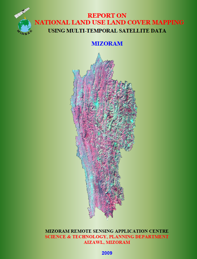
National Land Use Land Cover Mapping using Multi-Temporal Satellite data - Mizoram
Abstract / Description
The project “National Land Use/Land Cover Mapping using Multi-Temporal Satellite Data – Mizoram” was undertaken as part of the Natural Resources Census Programme of the Department of Space, Government of India, with the nationwide exercise coordinated by the National Remote Sensing Centre (NRSC), Hyderabad. The Mizoram component was implemented by the Mizoram Remote Sensing Application Centre (MIRSAC) in close coordination with NESAC, Shillong, with technical guidance and quality assessment support from both NRSC and NESAC. Its principal objectives were to generate a standardized Land Use/Land Cover (LULC) database for 2005–2006, prepare seamless district- and State-level digital datasets using the NRC-LULC 50K classification framework, and provide a reliable geospatial basis for resource planning and future monitoring.
The study covered the entire 21,087 sq. km geographical area of Mizoram and employed multi-temporal IRS-P6 LISS-III imagery representing the Kharif, Rabi and Zaid seasons. Satellite interpretation was supported by Survey of India 1:50,000 topographic maps, existing thematic maps, road and settlement information, census and statistical records, and field verification. Mapping was carried out through on-screen interpretation using standardized image interpretation keys, followed by ground-truthing, post-field correction, internal accuracy assessment and external quality assurance. The final database comprised major categories such as built-up land, agriculture, forest, bamboo, grassland, wasteland, water bodies and shifting cultivation.
The State-level assessment showed that forest was the dominant land-cover category, occupying 17,046.57 sq. km or 80.83% of Mizoram. Within this, bamboo alone covered 7,666.27 sq. km (36.35%), making it the single largest individual LULC class. Dense forest accounted for 3,436.09 sq. km (16.29%), open forest 2,524.97 sq. km (11.97%), and scrub forest 3,277.52 sq. km (15.54%).
Shifting cultivation remained another major feature of the landscape. Current jhum occupied 1,039.92 sq. km (4.93%), while abandoned jhum covered 1,589.33 sq. km (7.54%), together accounting for about 12.47% of the State. Agricultural land was comparatively limited, with Kharif cropland covering 861.60 sq. km (4.09%). Built-up land formed less than 1% of the State, although Aizawl District recorded the largest urban concentration.
The report further observed strong spatial variation among districts: bamboo dominated several western and southern districts, while agricultural and shifting-cultivation land use was more pronounced in areas such as Aizawl and Champhai. The project also noted that bamboo flowering during the mapping period influenced vegetation cover and highlighted the interaction between natural processes, human activities and land-use change.
Overall, the project established a comprehensive LULC baseline for Mizoram. Its maps, statistics and GIS database provide an essential reference for land-use planning, forestry, agriculture, watershed management, environmental monitoring, infrastructure development and future change-detection studies, while also enabling integration with the national natural-resource information system.
Summarized Metadata
Mapping Scale: 1:50,000
Satellite data & Year: IRS P6 LISS-III (2005 & 2006)
Thematic sub-category: Land Resources, Land Use Land Cover
Collaborating/Funding Agency: National Remote Sensing Centre (NRSC)
Report Publication Month/Year: October, 2009