Project Information
| Code | MIRSAC-PRJ-29 |
|---|---|
| Category | Land Resources |
| Time Period | May 2007 |
| Funding Agency | National Remote Sensing Centre (NRSA), Hyderabad |
National Wastelands Monitoring - Mizoram
Wasteland
Monitoring
Change detection
Land use
Project Description
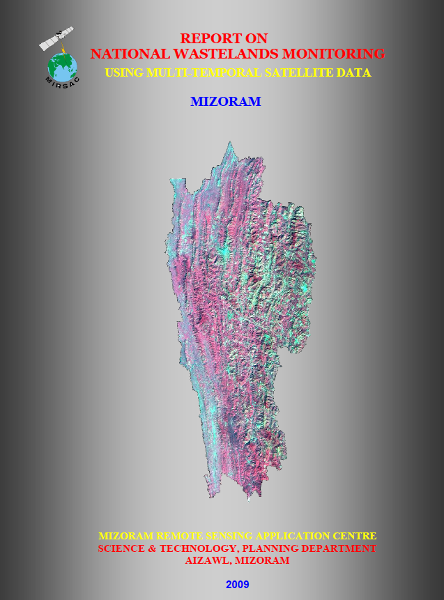
The National Wastelands Monitoring using Multi-Temporal Satellite Data – Mizoram project formed part of a national initiative led by the National Remote Sensing Centre (NRSC) to update and improve information on wasteland distribution across India using satellite remote sensing. For Mizoram, the study was carried out by the Mizoram Remote Sensing Application Centre (MIRSAC), Science & Technology, Planning Department, as a partner institution under the national programme. The project responded to the need for more detailed and regularly updated wasteland information than was available from earlier small-scale national mapping exercises.
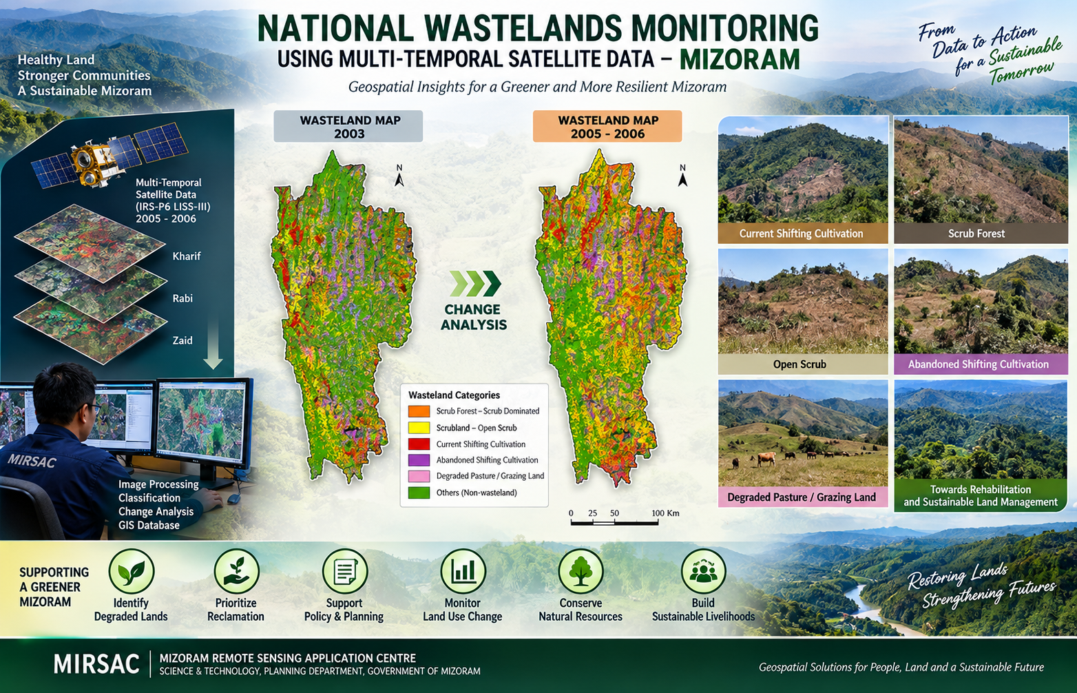
The principal objective was to update the spatial extent and distribution of wastelands with reference to the 2003 database using 2005–2006 satellite imagery, and to create a standardized digital database and information system for monitoring land degradation and change. The study covered the entire State of Mizoram, comprising all eight districts and its predominantly mountainous, forested and shifting-cultivation-influenced landscape.
The project employed IRS-P6 LISS-III multi-temporal satellite data, supported by existing wasteland vector layers, Survey of India maps and ancillary information. Remote sensing interpretation and GIS-based spatial analysis were used to delineate and classify wasteland categories such as current and abandoned shifting cultivation, scrub forest, open scrub and degraded pasture/grazing land. A major component of the project was change analysis, wherein the 2003 wasteland database was overlaid with the 2005–2006 mapping to identify areas of reclamation, continuing degradation, newly emerging wastelands and areas showing no significant change.
The maps, digital database, district-wise outputs and change-analysis information generated through the project provide an important planning resource for land-resource management, watershed development, soil and water conservation, forestry, agriculture, rural development and environmental monitoring. They also offer government agencies, planners, researchers and development departments a consistent geospatial baseline for identifying degraded areas, prioritizing rehabilitation measures, monitoring land-use change and evaluating the effectiveness of land-restoration programmes over time.
Summarize Metadata
Mapping Scale: 1:50,000
Satellite data & Year: IRS P6 LISS-III (2005 & 2006)
Study area: Mizoram
Collaborating/Funding Agency: National Remote Sensing Centre (NRSC)
No. of Report(s) published: 1
Project Period: 2007 – 2009
Related Publications
1