Access Options
Member Only Content
Please log in to view availability or download this document.
| Published | October 12, 2009 |
|---|---|
| Type | Project Report |
| Thematic Category | Land Resources |
| Project | National Wastelands Monitoring - Mizoram |
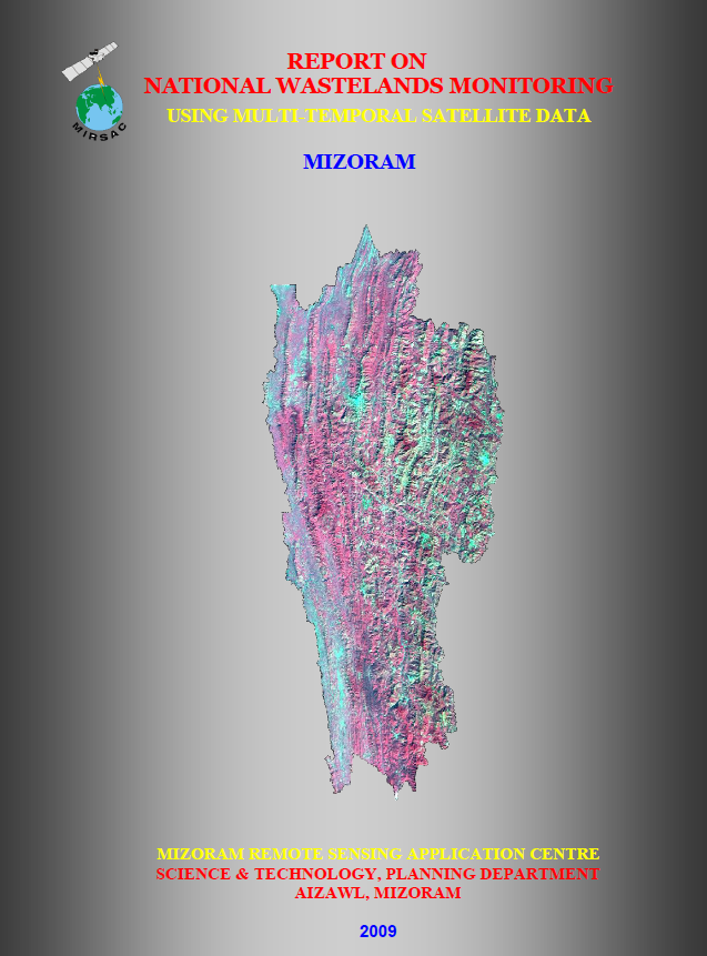
National Wastelands Monitoring using Multi-Temporal Satellite data - Mizoram
Abstract / Description
The project “National Wastelands Monitoring using Multi-Temporal Satellite Data – Mizoram”, completed in 2009 by the Mizoram Remote Sensing Application Centre (MIRSAC), Science & Technology, Planning Department, formed part of a national programme initiated by the National Remote Sensing Centre (NRSC) for systematic updating and monitoring of wastelands using satellite remote sensing. The principal objective was to update the spatial extent and distribution of wastelands with reference to the 2003 database using 2005–2006 satellite data, and to develop a standardized digital database and information system suitable for subsequent monitoring and reclamation planning.
The study covered the entire geographical area of Mizoram, 21,087 sq. km, comprising eight districts characterized by rugged hill terrain, high rainfall, extensive forest cover and widespread shifting cultivation. Multi-temporal IRS-P6 LISS-III satellite imagery acquired for Kharif, Rabi and Zaid seasons during 2005–2006 was used together with Survey of India topographic maps at 1:50,000 scale, existing land-use/land-cover and wasteland maps, road and settlement information, census and statistical data, and field observations. Mapping was undertaken through on-screen visual interpretation, seasonal comparison, ground verification and GIS-based database compilation following the standard National Wastelands Monitoring classification and methodology.
Five major wasteland categories were identified for Mizoram: Scrub Forest–Scrub Dominated, Scrubland–Open Scrub, Current Shifting Cultivation, Abandoned Shifting Cultivation, and Degraded Pastures/Grazing Land. The mapped wasteland classes together account for approximately 5,941.77 sq. km, or 28.18% of the State’s geographical area, with the remaining 15,145.23 sq. km (71.82%) classified under non-wasteland or “Others”. Among the individual categories, Scrub Forest–Scrub Dominated was the most extensive at 3,364.51 sq. km (15.95%), followed by Abandoned Shifting Cultivation at 1,379.06 sq. km (6.54%) and Current Shifting Cultivation at 1,049.64 sq. km (4.97%). Open scrub occupied only 38.42 sq. km (0.18%), while degraded pasture/grazing land covered 110.13 sq. km (0.52%).
A major component of the project was change detection between the 2003 and 2005–2006 wasteland databases. The analysis identified 4,130.68 sq. km of new wasteland, equivalent to 19.59% of Mizoram’s geographical area. Champhai District recorded the largest proportion of new wasteland at 30.92% of its district area, while Mamit recorded the lowest at 15.83%.
Overall, the project established an important geospatial baseline for understanding land degradation dynamics in Mizoram. The district-wise maps, digital wasteland database and change-analysis products provide valuable inputs for land reclamation, watershed development, soil and water conservation, forestry, agricultural planning, shifting-cultivation management and environmental monitoring, while also enabling future temporal assessment of degraded-land recovery or expansion.
Summarized Metadata
Mapping Scale: 1:50,000
Satellite data & Year: IRS P6 LISS-III (2005 & 2006)
Thematic sub-category: Land Resources, Wastelands
Collaborating/Funding Agency: National Remote Sensing Centre (NRSC)
Report Publication Month/Year: October, 2009