Project Information
| Code | MIRSAC-PRJ-30 |
|---|---|
| Category | Forestry & Environment |
| Time Period | August 2009 |
| Funding Agency | Mizoram Remote Sensing Application Centre (MIRSAC) |
Meteorological Data of Mizoram
Climate
Meteorology data
Weather
Rainfall
Temperature
Humidity
Project Description
The Meteorological Data of Mizoram project was undertaken as an in-house initiative of the Mizoram Remote Sensing Application Centre (MIRSAC), Science & Technology, Planning Department, Government of Mizoram, to develop an organized and readily accessible meteorological database for scientific, developmental and geospatial applications across the State. The initiative arose from the recurring requirement for reliable climatic inputs in Remote Sensing, GIS, natural-resource assessment and other planning-oriented studies undertaken by MIRSAC and various user departments.
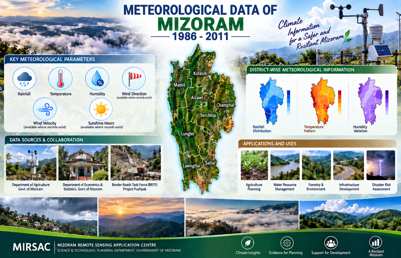
The project was implemented in two phases. The first phase compiled available weather observations covering 1986–2008, culminating in the publication of the first meteorological data report in 2009. The second phase subsequently extended and updated the database to include available observations covering 1986–2011, thereby improving the temporal continuity and usefulness of the climatic information resource.
Meteorological records were compiled through institutional cooperation with agencies maintaining weather observations in Mizoram, particularly the Department of Agriculture, Government of Mizoram; Department of Economics & Statistics, Government of Mizoram; and Border Roads Task Force (BRTF), Project Pushpak. The principal parameters assembled included rainfall, temperature and humidity, with the information organized district-wise and at the State level wherever records were available.
The resulting reports serve as a valuable ready-reference climatic database for government departments, researchers, planners, students and technical agencies. They provide essential baseline information for agriculture and horticulture planning, water-resource assessment, forestry, environmental studies, disaster-risk analysis, infrastructure planning and Remote Sensing/GIS modelling. By progressively consolidating historical observations through successive phases, the project also provides an important foundation for long-term climate monitoring, temporal comparison, future database updating and evidence-based developmental planning in Mizoram.
Summarize Metadata
Mapping Scale: N.A
Satellite data & Year: NA
Study area: Mizoram
Collaborating/Funding Agency: Mizoram Remote Sensing Application Centre (MIRSAC)
No. of Report(s) published: 2
Project Period: 2009 & 2012
The project was implemented in two phases. The first phase compiled available weather observations covering 1986–2008, culminating in the publication of the first meteorological data report in 2009. The second phase subsequently extended and updated the database to include available observations covering 1986–2011, thereby improving the temporal continuity and usefulness of the climatic information resource.
Meteorological records were compiled through institutional cooperation with agencies maintaining weather observations in Mizoram, particularly the Department of Agriculture, Government of Mizoram; Department of Economics & Statistics, Government of Mizoram; and Border Roads Task Force (BRTF), Project Pushpak. The principal parameters assembled included rainfall, temperature and humidity, with the information organized district-wise and at the State level wherever records were available.
The resulting reports serve as a valuable ready-reference climatic database for government departments, researchers, planners, students and technical agencies. They provide essential baseline information for agriculture and horticulture planning, water-resource assessment, forestry, environmental studies, disaster-risk analysis, infrastructure planning and Remote Sensing/GIS modelling. By progressively consolidating historical observations through successive phases, the project also provides an important foundation for long-term climate monitoring, temporal comparison, future database updating and evidence-based developmental planning in Mizoram.
Summarize Metadata
Mapping Scale: N.A
Satellite data & Year: NA
Study area: Mizoram
Collaborating/Funding Agency: Mizoram Remote Sensing Application Centre (MIRSAC)
No. of Report(s) published: 2
Project Period: 2009 & 2012
Related Publications
2
Meteorological Data of Mizoram - 2012
May 2012 Project Report