Access Options
Member Only Content
Please log in to view availability or download this document.
| Published | May 03, 2012 |
|---|---|
| Type | Project Report |
| Thematic Category | Forestry & Environment |
| Project | Meteorological Data of Mizoram |
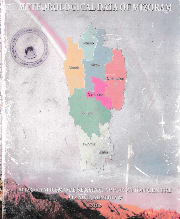
Meteorological Data of Mizoram - 2012
Abstract / Description
The “Meteorological Data of Mizoram – 2012” report represents the second-phase update of the Meteorological Data of Mizoram project undertaken by the Mizoram Remote Sensing Application Centre (MIRSAC). Building upon the original meteorological compilation published in 2009, this edition extends the available climatic database up to 2011, thereby providing a longer temporal reference for understanding the State’s rainfall, temperature and relative-humidity characteristics. The principal objective was to consolidate dispersed meteorological observations into a systematic, readily accessible database for use in Remote Sensing and GIS studies, natural-resource assessment, development planning and scientific research. Primary observations were compiled from the Department of Agriculture, Department of Economics & Statistics, BRTF–Project Pushpak and Directorate of Science & Technology, Government of Mizoram, supplemented by available meteorological information from MOSDAC and AccuWeather.
The report provides district-wise information for all eight districts of Mizoram, with rainfall series extending largely from 1986 to 2011, although temporal coverage varies according to data availability. Temperature information was expanded considerably compared with the earlier edition and is presented for all eight districts, while relative-humidity observations remained more spatially limited. The database demonstrates the strongly monsoonal character of Mizoram’s climate, with rainfall concentrated primarily between May and September. At the State level, the compiled district averages indicate an annual rainfall of approximately 2,693.4 mm, with monthly averages increasing from only 9.3 mm in January to 452.4 mm in July and 460.9 mm in August, before declining after September. This pronounced seasonal concentration has important implications for agriculture, water-resource availability, erosion, landslides and infrastructure management.
Temperature observations indicate a generally moderate but seasonally distinct thermal regime. The State-level monthly average mean temperature increases from about 17.5°C in January to approximately 25–26°C during May–September. Average monthly maximum temperatures reach around 33.1°C during April–May, whereas the average minimum falls to about 9.4°C in January. Considerable spatial variation is evident between the warmer lower-elevation districts and cooler elevated locations. Relative humidity likewise follows the monsoonal cycle, increasing substantially from the relatively drier winter and pre-monsoon months and remaining generally around or above 89–92% during the core monsoon months of July–September.
Overall, the project established an important long-term meteorological baseline for Mizoram, while also revealing spatial and temporal gaps in the historical observation network. The resulting tables, charts and district-wise climatic summaries constitute a valuable reference for agriculture and horticulture, hydrology, forestry, environmental assessment, disaster-risk studies, infrastructure design, climate analysis and Remote Sensing/GIS modelling, and provide a foundation for continued meteorological database development and future climate-change assessments.
Summarized Metadata
Mapping Scale: N.A
Satellite data & Year: N.A
Thematic sub-category: Meteorology; Climate; Weather data
Collaborating/Funding Agency: Mizoram Remote Sensing Application Centre (MIRSAC)
Report Publication Month/Year: May, 2012