Project Information
| Code | MIRSAC-PRJ-32 |
|---|---|
| Category | Land Resources |
| Time Period | August 2010 |
| Funding Agency | NLUP Implementing Board (NIB) |
Land Use Planning for NLUP Implementation using Remote Sensing & GIS
Land Use Planning
Land use
Zawngling
Saiha
Spatial planning
LULC
Natural resources
Project Description
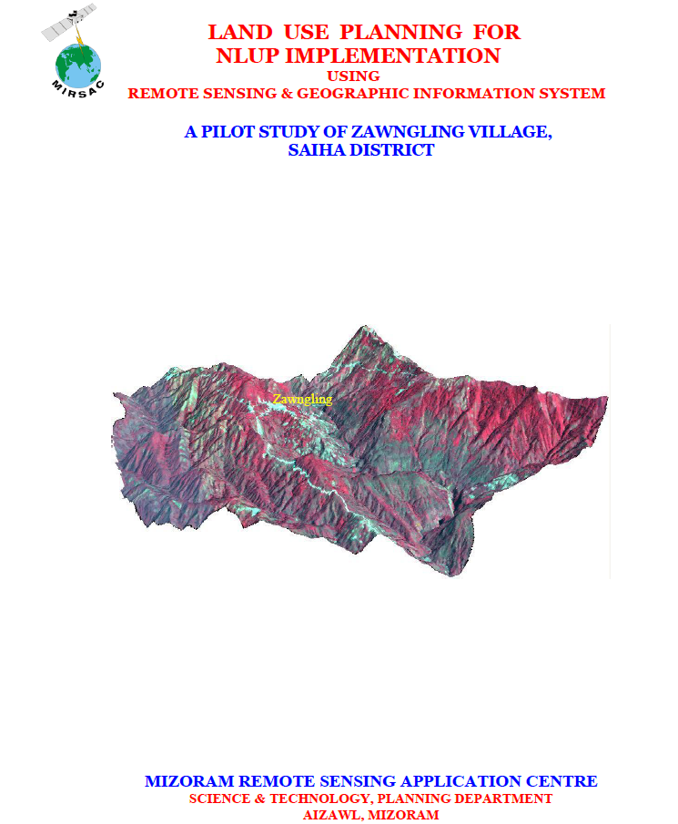
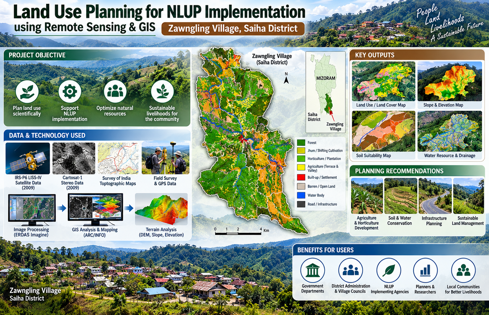
The “Land Use Planning for NLUP Implementation using Remote Sensing and GIS” project was undertaken by the Mizoram Remote Sensing Application Centre (MIRSAC), Science & Technology, Planning Department, Government of Mizoram, as a pilot study for Zawngling Village in Saiha District. The project emerged from coordination with the NLUP Implementing Board, Saiha District administration and Zawngling Village Council, with additional technical support from KVK and the Agriculture Department, Saiha for soil analysis. Its purpose was to demonstrate how scientific land-use planning could strengthen implementation of Mizoram’s New Land Use Policy (NLUP) at village level.
The project combined Remote Sensing, GIS, GPS-supported field verification and socio-economic information to prepare an integrated spatial database of village resources. High-resolution IRS-P6 LISS-IV and Cartosat-1 stereo satellite data acquired in 2009 were used along with Survey of India topographic maps, departmental records and field observations. Image processing was carried out in ERDAS Imagine, while GIS analysis and database integration were undertaken using ARC/INFO. Cartosat stereo data also supported preparation of terrain information such as slope and Digital Elevation Models.
The principal objective was to develop a practical methodology for integrating land use/land cover, soils, slope, altitude, drainage, water resources, infrastructure and socio-economic information to identify suitable areas for different NLUP activities and formulate realistic land- and water-resource development plans. Zawngling was selected because of its diverse natural-resource setting, rugged terrain and predominantly agriculture-based rural economy.
The resulting thematic maps, GIS database and action-planning outputs provide useful decision support for NLUP implementing agencies, district authorities, village councils, agriculture and horticulture departments, planners and researchers. Importantly, the pilot established a replicable framework for extending scientifically based, participatory and resource-compatible land-use planning to other villages of Mizoram.
Summarize Metadata
Mapping Scale: 1:5000
Satellite data & Year: IRS P6 LISS IV (2009) & Cartosat-I (2009)
Study area: Zawngling village, Saiha district
Collaborating/Funding Agency: NIB (NLUP Implementing Board)
No. of Report(s) published: 1
Project Period: 2010
The project combined Remote Sensing, GIS, GPS-supported field verification and socio-economic information to prepare an integrated spatial database of village resources. High-resolution IRS-P6 LISS-IV and Cartosat-1 stereo satellite data acquired in 2009 were used along with Survey of India topographic maps, departmental records and field observations. Image processing was carried out in ERDAS Imagine, while GIS analysis and database integration were undertaken using ARC/INFO. Cartosat stereo data also supported preparation of terrain information such as slope and Digital Elevation Models.
The principal objective was to develop a practical methodology for integrating land use/land cover, soils, slope, altitude, drainage, water resources, infrastructure and socio-economic information to identify suitable areas for different NLUP activities and formulate realistic land- and water-resource development plans. Zawngling was selected because of its diverse natural-resource setting, rugged terrain and predominantly agriculture-based rural economy.
The resulting thematic maps, GIS database and action-planning outputs provide useful decision support for NLUP implementing agencies, district authorities, village councils, agriculture and horticulture departments, planners and researchers. Importantly, the pilot established a replicable framework for extending scientifically based, participatory and resource-compatible land-use planning to other villages of Mizoram.
Summarize Metadata
Mapping Scale: 1:5000
Satellite data & Year: IRS P6 LISS IV (2009) & Cartosat-I (2009)
Study area: Zawngling village, Saiha district
Collaborating/Funding Agency: NIB (NLUP Implementing Board)
No. of Report(s) published: 1
Project Period: 2010