Access Options
Member Only Content
Please log in to view availability or download this document.
| Published | October 19, 2010 |
|---|---|
| Type | Project Report |
| Thematic Category | Land Resources |
| Project | Land Use Planning for NLUP Implementation using Remote Sensing & GIS |
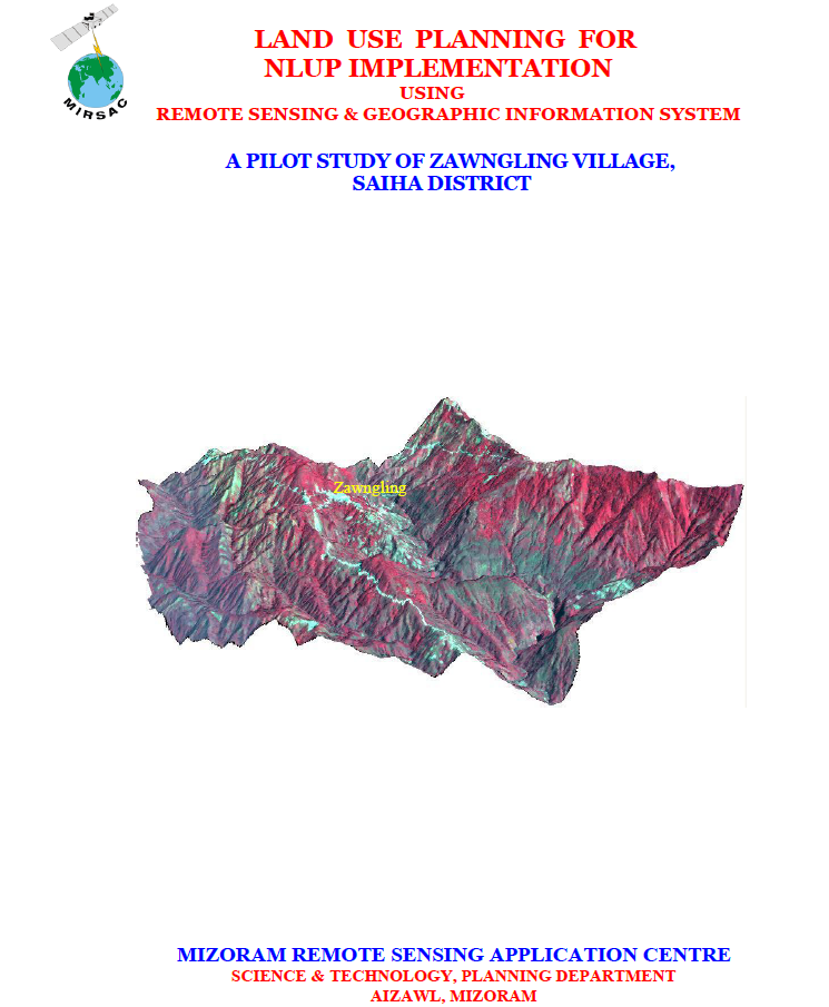
Land Use Planning for NLUP Implementation using Remote Sensing & GIS – A Pilot study of Zawngling Village, Saiha district
Abstract / Description
The project “Land Use Planning for NLUP Implementation using Remote Sensing & Geographic Information System – A Pilot Study of Zawngling Village, Saiha District”, undertaken by the Mizoram Remote Sensing Application Centre (MIRSAC) in 2010, was conceived as a micro-level scientific planning initiative to support implementation of Mizoram’s New Land Use Policy (NLUP). The study aimed to develop a viable methodology for integrating spatial and non-spatial information, prepare thematic databases on land use/land cover, soils, slope, water resources and socio-economic conditions, and formulate pragmatic land- and water-resource development plans consistent with local resource potential, community needs and government priorities.
The study covered Zawngling Village in Saiha District, with a geographical area of 98.02 sq. km, situated in southern Mizoram near the Indo-Myanmar boundary. The project integrated IRS-P6 LISS-IV satellite data and Cartosat-1 stereo PAN imagery acquired in 2009, Survey of India topographic maps, departmental records, field observations and GPS-based ground verification. Image processing and enhancement were undertaken using ERDAS Imagine, while GIS integration and analysis were performed in ARC/INFO. Cartosat stereo imagery supported derivation of terrain parameters, including slope and Digital Elevation Models, while thematic information was prepared at a detailed 1:5,000 mapping scale.
The analysis highlighted the strongly undulating character of the village landscape. About 46.08% of the area falls within the 50–100% slope class, while another 10.61% exceeds 100% slope, indicating substantial terrain constraints for conventional agriculture. Land-use assessment showed that forests dominate the landscape: dense forest covers 34.00 sq. km, open forest 16.80 sq. km, bamboo 8.62 sq. km, while current and abandoned shifting cultivation occupy 6.11 and 20.31 sq. km, respectively. Permanent agricultural land remains comparatively limited, with WRC and plantation areas together accounting for less than 1 sq. km. Soil investigations further indicated generally acidic conditions, with several sampled cultivation sites recording pH values around 4.0–4.5, reinforcing the need for site-specific soil-management interventions.
Based on integrated GIS analysis, the project proposed 2.75 sq. km for WRC/pisciculture, 3.41 sq. km for terrace cultivation, 5.71 sq. km for agro-horticulture, 4.50 sq. km for agricultural/horticultural plantations, 10.02 sq. km for silviculture/pasture and 14.82 sq. km for afforestation, while retaining major forest and bamboo areas for conservation. Water-resource planning additionally recommended 33 check dams, 26 fish/farm ponds, 12 rainwater-harvesting ponds, 24 intake weirs, 10 distribution tanks and 14 steel gates. Overall, the study demonstrated how high-resolution Remote Sensing, GIS and field-based resource assessment can translate NLUP guidelines into spatially explicit, village-level action plans for sustainable agriculture, water management, livelihood improvement and reduction of dependence on shifting cultivation.
Summarized Metadata
Mapping Scale: 1:5,000
Satellite data & Year: IRS P6 LISS IV (2009) & Cartosat-I (2009)
Thematic sub-category: Land resources; Land Use Planning
Collaborating/Funding Agency: NIB (NLUP Implementing Board)
Report Publication Month/Year: October, 2010