Project Information
| Code | MIRSAC-PRJ-34 |
|---|---|
| Category | Land Resources |
| Time Period | March 2010 |
| Funding Agency | Science, Technology & Environment Wing, Planning Department, Government of Mizoram |
Integrated Land Use Planning
Land Use Planning
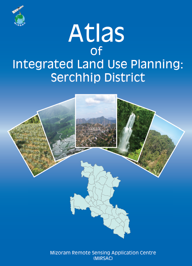
Serchhip District
Saiha District
Spatial planning
Natural resources
LULC
LRDP
WRDP
Village level planning
Project Description
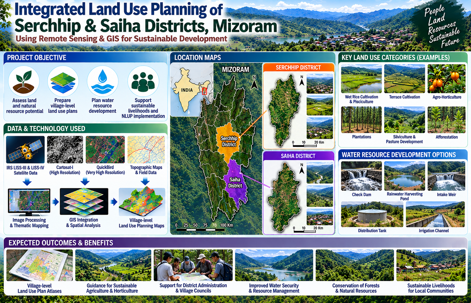
The Integrated Land Use Planning (ILUP) Project was undertaken by the Mizoram Remote Sensing Application Centre (MIRSAC), Science & Technology, Planning Department, Government of Mizoram, to develop scientifically based land-use plans for Serchhip and Saiha districts. The project was conceived in support of sustainable rural development and initiatives such as the New Land Use Policy (NLUP), where appropriate utilization of land and natural resources required reliable spatial information at district and village levels. The project was financially supported by the Science, Technology & Environment Wing, Planning Department, with active cooperation from the District Administration, concerned Government departments and Village Councils during data collection and field verification.
The project extensively employed Remote Sensing and Geographic Information System (GIS) technologies using multi-resolution satellite datasets including IRS LISS-III, LISS-IV, Cartosat-I and QuickBird imagery. These datasets were integrated with information on existing land use, terrain and slope, soils, rainfall, surface and groundwater resources, transport networks and other natural-resource parameters to formulate spatially explicit land-use recommendations.
A major strength of the project was its village-level planning approach. The resulting atlases provided individual maps depicting settlements, transport networks and drainage systems alongside corresponding Integrated Land Use Planning maps. Proposed interventions included areas suitable for wet rice cultivation and pisciculture, terrace cultivation, agro-horticulture, plantations, silviculture, pasture development and afforestation, together with water-resource structures such as check dams, rainwater-harvesting ponds, intake weirs and irrigation systems.
The generated maps, atlases and GIS databases provide valuable decision-support information for Government departments, district administrations, Village Councils, planners, researchers and development agencies, helping them identify resource-compatible interventions, plan field programmes, prioritize investments and promote sustainable land and water-resource management across the two districts.
Summarize Metadata
Mapping Scale: 1:10,000
Satellite data & Year: IRS P6 LISS III, LISS IV, Cartosat I & Quickbird (2009-2010)
Study area: Serchhip & Saiha Districts
Collaborating/Funding Agency: Science & Technology, Planning Department, Government of Mizoram
No. of Report(s) published: 2 Atlases
Project Period: 2010-2011
Related Publications
2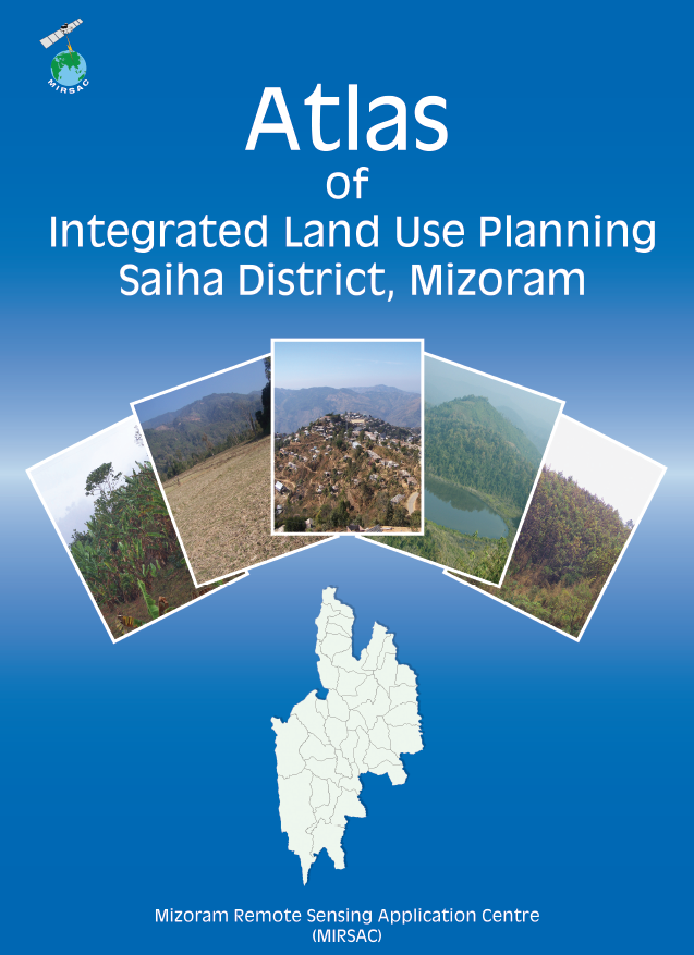
Integrated Land Use Planning of Saiha District
Aug 2011 Atlas