Access Options
Member Only Content
Please log in to view availability or download this document.
| Published | August 12, 2011 |
|---|---|
| Type | Atlas |
| Thematic Category | Land Resources |
| Project | Integrated Land Use Planning |
Integrated Land Use Planning of Saiha District
Abstract / Description
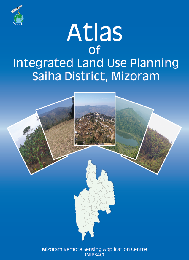
The “Atlas of Integrated Land Use Planning of Saiha District, Mizoram”, prepared by the Mizoram Remote Sensing Application Centre (MIRSAC), Science & Technology, Planning Department, represents a district-wide geospatial initiative designed to translate natural-resource information into practical land- and water-development strategies. The Atlas was developed in support of scientifically guided development and implementation of the New Land Use Policy (NLUP). Its principal objective was to formulate appropriate land-use options for individual villages by integrating natural-resource potential, terrain constraints, existing land utilization and infrastructure within a Remote Sensing and GIS-based planning framework.
The project employed multi-resolution satellite datasets including IRS LISS-III, IRS LISS-IV, Cartosat-I and QuickBird imagery. These datasets were used to assess existing land use, terrain and slope, soil characteristics, permanent agricultural and horticultural areas, rainfall conditions, groundwater and surface-water resources, settlements and transport connectivity. The thematic information was subsequently integrated within a Geographic Information System (GIS) to identify spatially appropriate development options. A notable feature of the Atlas is its village-level approach, in which individual settlements are represented through paired map products—one showing transport networks, settlements and drainage, and the other presenting the corresponding Integrated Land Use Plan. Preparation of the Atlas also involved cooperation from the Saiha District Administration, various Government departments and Village Councils during data provision and field verification.
At the district level, the planning exercise covered 1,399.90 sq. km. Proposed productive land-development interventions included 37.61 sq. km for WRC/pisciculture, 38.23 sq. km for terrace cultivation, 64.04 sq. km for agro-horticulture, 58.52 sq. km for agriculture/horticulture plantations, 137.86 sq. km for silviculture and pasture development, and 100.94 sq. km for afforestation. Collectively, these proposed development categories account for approximately 437.20 sq. km, or 31.23% of the district area.
The Atlas simultaneously recognized the importance of retaining major natural and protected landscapes. Forest constituted 585.26 sq. km (41.81%), bamboo occupied 178.31 sq. km (12.74%), and Reserve Forests, plantations and departmental lands accounted for another 177.49 sq. km (12.68%). Water bodies covered 9.06 sq. km (0.65%), while built-up areas accounted for 12.58 sq. km (0.90%).
Water-resource planning formed a particularly substantial component of the study. The district-wide plan proposed 1,532 water-development structures, comprising 1,094 check dams, 169 rainwater-harvesting ponds, 119 intake weirs, 20 distribution tanks and 130 irrigation channels. Overall, the Atlas demonstrates the practical application of satellite Remote Sensing, GIS and field information for micro-level, village-oriented resource planning, providing an important decision-support database for NLUP implementation, agriculture and horticulture development, soil and water conservation, forestry, watershed management, infrastructure planning and sustainable rural development in Saiha District.
Summarized Metadata
Mapping Scale: 1:10,000
Satellite data & Year: IRS P6 LISS III, LISS IV, Cartosat I & Quickbird (2009-2010)
Thematic sub-category: Land resources; Village level planning
Collaborating/Funding Agency: Science & Technology, Planning Department, Government of Mizoram
Atlas Publication Month/Year: August, 2011