Project Information
| Code | MIRSAC-PRJ-7 |
|---|---|
| Category | Land Resources |
| Time Period | March 2003 |
| Funding Agency | North Eastern Space Applications Centre (NESAC) |
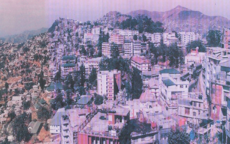
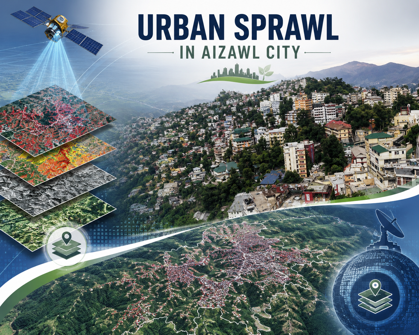
Urban sprawl study of Aizawl city
Urban
Aizawl city
Land use planning
Urban sprawl
Project Description
The Urban Sprawl Study of Aizawl City represents a pivotal collaboration between the North Eastern Space Applications Centre (NESAC), Department of Space, Government of India, Umiam, Meghalaya, and the Mizoram Remote Sensing Application Centre (MSRSC), Aizawl, Mizoram. Completed in October 2004 under the supervision of NESAC Director Shri K.C. Bhattacharyya, the project leveraged expertise from principal investigators like Shri ASRKV Murali Mohan (NESAC) and Dr. R.K. Lallianthanga (MIRSAC), alongside a multidisciplinary team of scientists specializing in remote sensing and GIS applications.
The core technology employed integrated multi-temporal satellite remote sensing data including Landsat MSS, IRS-1C LISS-III/PAN merged products, and Resourcesat-1 LISS-III with advanced GIS tools for spatial analysis. Data were geometrically registered to 1:25,000 scale Survey of India topographical sheets, processed via visual/digital interpretation techniques, and enhanced with ground truth verification. This enabled precise thematic mapping of land use/land cover, slope (from DEM), transport networks, and surface water bodies, culminating in a comprehensive GIS database linking spatial layers with non-spatial socio-economic attributes from census records and household surveys.
The main objective was to monitor Aizawl's urban expansion patterns, evaluate compliance with the 2002 Aizawl Master Plan, and delineate site suitability zones for future growth. Nestled in northern Mizoram's rugged terrain, Aizawl – the capital of Mizoram, faces acute topographic challenges like steep north-south aligned ridges, deep valleys, erosional landforms, acidic loamy soils, and moderate climate (208 cm annual rainfall). Rapid, unplanned sprawl along highways risks exacerbating congestion, water scarcity, erosion, and infrastructure deficits, making this study critically important for sustainable urban management in a hill-station context.
The generated outputs such as urban sprawl maps, land use classifications, suitability zonations (prioritizing low-slope, road-proximate wastelands), and integrated databases are invaluable for city and town planning. Planners can use these to decongest the core, direct fringe development, enforce vertical limits, harness springs, and mitigate environmental risks. Aligned partially with the Master Plan, the data supports evidence-based zoning, infrastructure prioritization (e.g., roads, drainage), and policy formulation, fostering controlled growth that balances population pressures with ecological stability. This geospatial framework empowers local authorities, TCP departments, and policymakers to optimize land resources, enhance access to amenities, and promote resilient urbanism amid Aizawl's fragile geology.
Summarize Metadata
Mapping Scale: 1:25,000
Satellite data & Year: Landsat MSS (1981), IRS-1C (1998-2022), Resourcesat-1 (2003)
Study area: Aizawl city (Urban).
Collaborating/Funding Agency: North Eastern Space Applications Centre (NESAC), Umiam
No. of Report(s) published: 1
Project Period: 2003 – 2004
Related Publications
1