Access Options
Member Only Content
Please log in to view availability or download this document.
| Published | March 15, 2002 |
|---|---|
| Type | Project Report |
| Thematic Category | Multi-Thematic |
| Project | Integrated Mission for Sustainable Development (IMSD) |
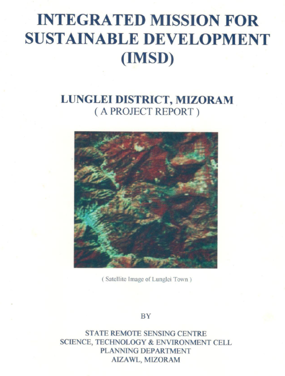
Integrated Mission for Sustainable Development (IMSD) –Lunglei District, Mizoram
Abstract / Description
The report “Integrated Mission for Sustainable Development (IMSD) – Lunglei District” represents a continuation and expansion of the Integrated Mission for Sustainable Development initiative within Lunglei District, Mizoram, undertaken to support systematic natural resource planning through the integration of remote sensing, GIS analysis, and field-based surveys. Unlike earlier phases of the IMSD programme that were implemented under the Department of Space with technical support from national remote sensing institutions, this phase of the project was undertaken with funding support from the Government of Mizoram, reflecting the state government’s recognition of the importance of geospatial information for decentralized planning and sustainable resource management. The study was implemented by the Mizoram State Remote Sensing Application Centre (MIRSAC) as part of its mandate to develop spatial databases and decision-support tools for district-level planning.
The principal objective of the project was to generate an updated and integrated assessment of natural resources in Lunglei District and to develop actionable development plans based on scientific evaluation of land capability and environmental constraints. The study sought to build upon earlier IMSD datasets by refining thematic information and extending the analysis to additional areas within the district. To achieve this objective, satellite remote sensing data were interpreted and processed within a GIS environment to generate a comprehensive suite of thematic layers describing the physical and environmental characteristics of the landscape. These included land use and land cover, slope and terrain characteristics, soil resources, hydrogeomorphology, drainage patterns, groundwater prospects, transportation networks, and settlement distribution. These spatial datasets were subsequently integrated with socio-economic and meteorological information to support multi-sectoral planning and to identify priority zones for development interventions.
Analysis of the land use and land cover data indicates that forest vegetation and secondary regrowth associated with shifting cultivation continue to dominate the landscape of Lunglei District. Large tracts of land are occupied by regenerating fallow areas reflecting the prevalence of jhum cultivation practices in the region. Agricultural land occupies a relatively small proportion of the district and is mainly confined to valley floors and gently sloping terrain where soil depth, moisture availability, and accessibility are more favourable for cultivation. The spatial distribution of degraded forest and fallow lands identified in the study highlights the ecological pressures associated with shortened jhum cycles and increasing land-use intensity.
Slope and terrain analysis reveal that the district is characterized predominantly by moderate to steep slopes, a geomorphological condition typical of the hill ranges of Mizoram. Such terrain conditions increase vulnerability to soil erosion and land degradation, particularly where vegetation cover has been removed for cultivation. Hydrogeomorphological assessment indicates that groundwater potential across much of the district remains generally low to moderate because of steep slopes and rapid runoff characteristics. However, certain geomorphic features such as valley fills, structural depressions, and weathered zones were identified as favourable locations for groundwater recharge and localized water resource development.
Based on the integrated evaluation of natural resource parameters, the project developed a series of location-specific action plans aimed at improving environmental sustainability and enhancing rural livelihoods. Recommended interventions include afforestation and regeneration of degraded forest lands, promotion of horticultural and agroforestry practices on suitable slopes, soil and water conservation measures such as contour bunding and vegetative barriers, development of fodder resources, and the construction of water harvesting structures to enhance groundwater recharge and support irrigation in agricultural areas. The prioritization of these interventions was guided by land capability, slope stability, soil characteristics, and proximity to settlements in order to maximize both ecological benefits and socio-economic impact.
Overall, the study demonstrates the continued relevance of the IMSD framework as a practical approach for integrated watershed and land resource planning in mountainous regions. By updating spatial datasets and refining development strategies for Lunglei District, the project provides a valuable decision-support tool for government departments and local planning authorities engaged in sustainable land, water, and forest resource management in Mizoram.
Summarized Metadata
Mapping Scale: 1:50,000
Satellite data & Year: IRS 1D, 1994-1995
Thematic sub-category: Land & Water, Spatial Planning
Collaborating/Funding Agency: Government of Mizoram
Report Publication Month/Year: March, 2002