Project Information
| Code | MIRSAC-PRJ-3 |
|---|---|
| Category | Multi-Thematic |
| Time Period | January 1994 |
| Funding Agency | National Remote Sensing Centre (NRSC), Hyderabad |
Integrated Mission for Sustainable Development (IMSD)
Sustainable development
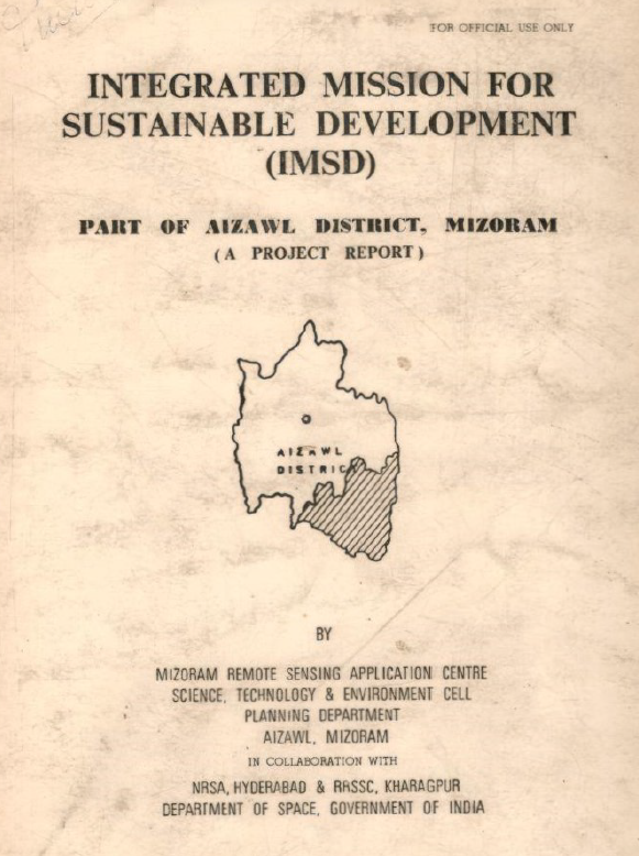
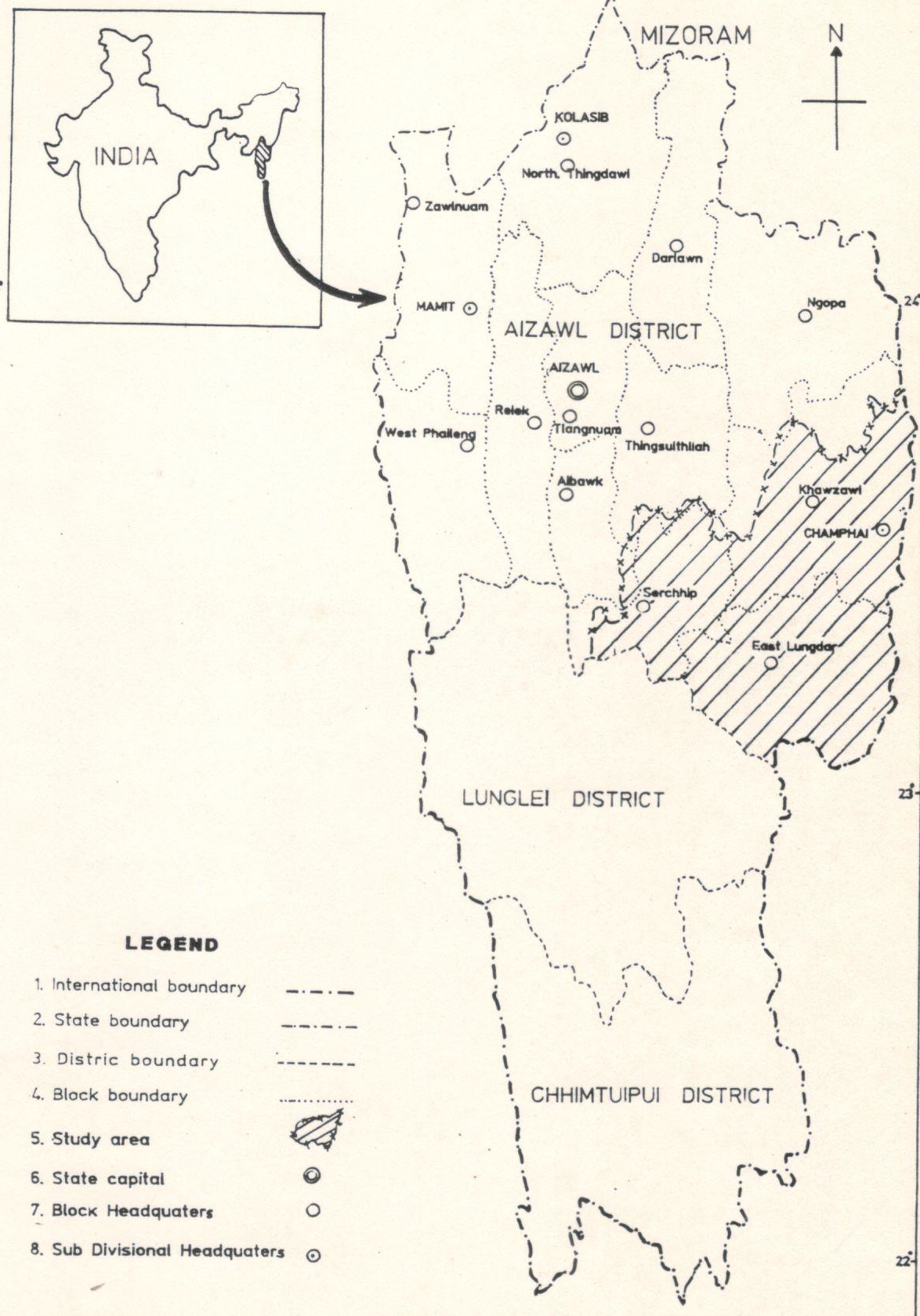
Mizoram
District planning
Aizawl
Chhimtuipui
Lunglei
Saiha
Lawngtlai
Project Description
The Integrated Mission for Sustainable Development (IMSD) is a nation-wide remote-sensing application initiative launched under the Department of Space, Government of India, to provide spatially explicit natural-resource information and decision support for integrated, area-based planning and sustainable development. Originally developed with technical guidance and standardized field and mapping procedures captured in NRSC/IMSD technical guidelines, the mission established a replicable framework for producing multi-thematic geo-databases (land use/land cover, soils, slope, hydrogeomorphology, drainage and transport networks, settlements and related layers) which can be combined with socio-economic and meteorological data to produce localized action plans. In recognition of its practical value for district and regional planning, the approach has been accepted as a suitable methodology for integrated planning by central planning bodies and used widely across states to inform sectoral interventions.
In Mizoram, the project was co-sponsored by the Government of Mizoram and entrusted to the Mizoram State Remote Sensing Application Centre (MIRSAC, formerly MSRSC) for implementation, with technical oversight and inputs from ISRO Headquarters, National Remote Sensing Centre (NRSC), Hyderabad, and RRSC, Kharagpur. The state-level execution followed a phased, district-wise rollout so that each district could receive tailored mapping, field survey support and an action plan prepared from integrated thematic maps and ground surveys. Field reconnaissance and stratified ground truthing were combined with satellite image interpretation and GIS processing to ensure thematic consistency and to calibrate remote-sensing signatures for local conditions. The project emphasized institutional collaboration, capacity building of state technical staff, and the creation of GIS-ready spatial databases that could be maintained and updated by state agencies for iterative planning and monitoring.
The principal objective was to generate local-specific, implementable action plans by synthesizing natural-resource thematic maps with socio-economic needs assessments gathered through on-site surveys. These action plans are designed to translate map-based diagnostics into sectoral interventions: forest management and regeneration (including identification of degraded and priority regeneration sites), fodder resource development, targeted agricultural and horticultural development, soil and slope conservation measures, water-resource management (catchment and groundwater interventions), rural infrastructure and settlement planning, and livelihood enhancement activities. The resulting outputs comprise thematic maps, area statistics, land-use change indicators, GIS layers for decision support, and a set of prioritized, site-specific recommendations and implementation steps intended for departmental, village council and programme managers.
Operationally, IMSD products serve three linked purposes: (1) to provide an evidence base for integrated, cross-sectoral planning at district and sub-district scales; (2) to identify spatial priorities for conservation and development interventions; and (3) to build state capacity for ongoing monitoring and periodic updating of resource inventories. Lessons from the Mizoram implementation emphasize the need for systematic field validation, periodic updating of imagery, and close coordination between technical agencies and local stakeholders to translate spatial plans into effective on-ground actions. The IMSD framework therefore remains a practical template for scaling remote-sensing-based planning across administrative units and for embedding geospatial information into sustainable development practice.
Summarize Metadata
Mapping Scale: 1:50,000
Satellite data & Year: IRS 1A/1B (1995-1996) & IRS 1C/1D (1998-2002)
Study area: Tuipui watershed, Part of Aizawl district, Part of Chhimtuipui district, Part of Lunglei district, Lunglei district, Saiha & Lawngtlai district.
Collaborating/Funding Agency: Mizoram State Remote Sensing Application Centre (MSRSC)
No. of Reports published: 6
Project Period: 1995 - 2002
Related Publications
6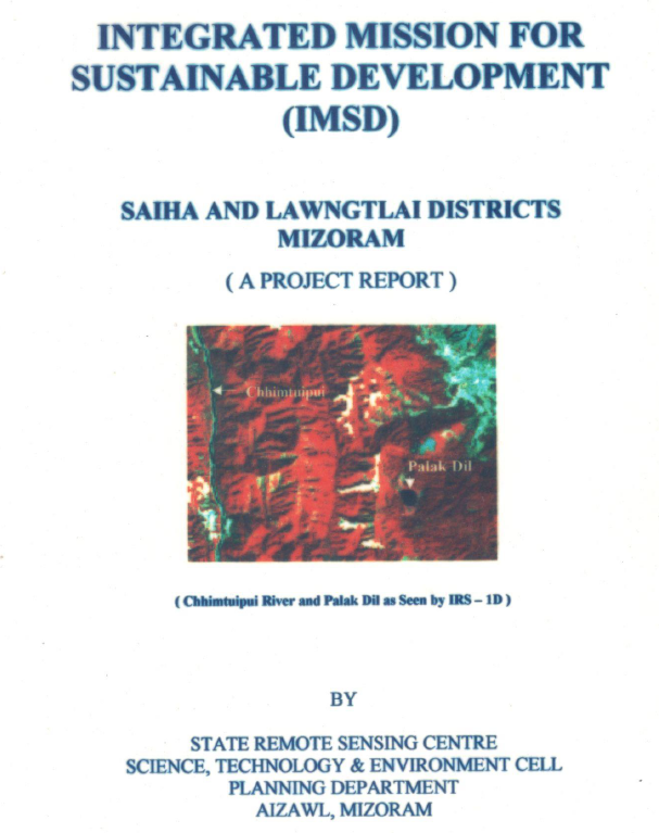
Integrated Mission for Sustainable Development (IMSD) – Saiha & Lawngtlai District, Mizoram
Nov 2002 Project Report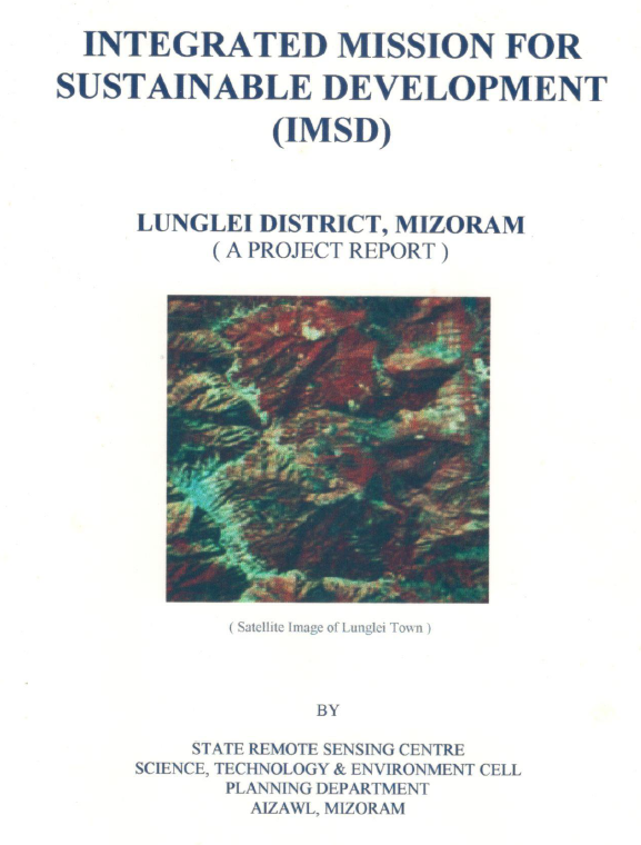
Integrated Mission for Sustainable Development (IMSD) –Lunglei District, Mizoram
Mar 2002 Project Report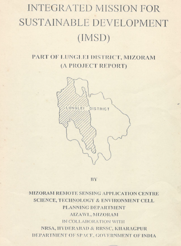
Integrated Mission for Sustainable Development (IMSD) – Part of Lunglei District, Mizoram
Jan 1998 Project Report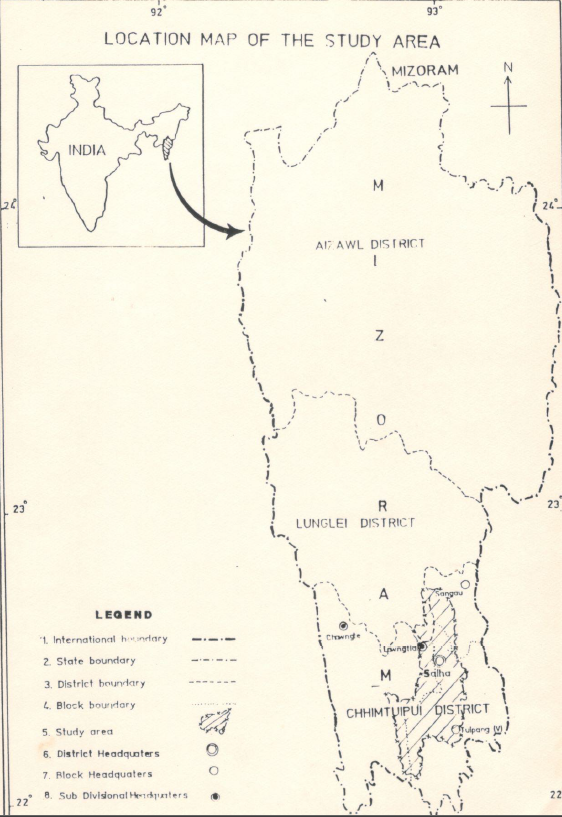
Integrated Mission for Sustainable Development (IMSD) – Part of Chhimtuipui District, Mizoram
Jan 1998 Project Report