Access Options
Member Only Content
Please log in to view availability or download this document.
| Published | November 21, 2002 |
|---|---|
| Type | Project Report |
| Thematic Category | Multi-Thematic |
| Project | Integrated Mission for Sustainable Development (IMSD) |
Integrated Mission for Sustainable Development (IMSD) – Saiha & Lawngtlai District, Mizoram
Abstract / Description
The report “Integrated Mission for Sustainable Development (IMSD) – Saiha and Lawngtlai Districts” presents a comprehensive geospatial assessment of natural resources and land-use conditions in the southern districts of Mizoram, undertaken to support integrated planning and sustainable development through the application of remote sensing and Geographic Information System (GIS) techniques. The study forms part of the IMSD programme framework, adapted and implemented at the state level to generate spatially explicit, multi-thematic datasets for decentralized planning. The project was executed by the Mizoram State Remote Sensing Application Centre (MIRSAC) with the objective of developing scientifically informed, location-specific action plans for resource management and livelihood enhancement.
The primary objective of the study was to assess the spatial distribution and condition of natural resources across Saiha and Lawngtlai districts and to integrate these datasets with socio-economic information to guide sectoral development interventions. Satellite imagery was interpreted and analysed within a GIS environment to generate key thematic layers including land use and land cover, slope, soil characteristics, hydrogeomorphology, drainage network, groundwater potential zones, transportation network, and settlement distribution. These layers were subsequently integrated to evaluate land capability and identify constraints affecting agricultural productivity, soil stability, water availability, and overall environmental sustainability.
The analysis reveals that a significant proportion of the study area is under forest cover and secondary vegetation associated with shifting cultivation practices, which remain the dominant land-use system in the region. Extensive areas of fallow land and degraded forest were identified, reflecting the impact of repeated jhum cycles and shortened fallow periods. Agricultural land occupies a relatively smaller proportion of the total area and is primarily confined to valley bottoms and gentle slopes where soil fertility and moisture availability are more favourable. The slope analysis indicates that much of the terrain falls within moderate to steep slope categories, highlighting the inherent vulnerability of the landscape to soil erosion and land degradation.
Hydrogeomorphological assessment suggests that groundwater potential in the districts is generally low to moderate due to steep terrain and high surface runoff; however, localized zones such as valley fills, weathered rock formations, and structural depressions were identified as suitable for groundwater recharge and water resource development. The integration of thematic layers enabled the delineation of erosion-prone areas and resource-deficient zones requiring priority intervention.
Based on the integrated analysis, the study proposes a set of targeted action plans aimed at improving land productivity and environmental sustainability. Recommended interventions include afforestation and regeneration of degraded forest lands, promotion of horticulture and agroforestry in suitable upland areas, soil and water conservation measures such as contour trenching and vegetative barriers, development of fodder resources, and construction of water harvesting structures to enhance groundwater recharge and support irrigation. These interventions were prioritized based on land capability, slope stability, and proximity to settlements to ensure practical implementation and maximum socio-economic benefit.
Overall, the study demonstrates the effectiveness of integrating Remote sensing, GIS, and field-based information in developing actionable, watershed-based development plans for ecologically fragile hill regions. The project provides a comprehensive spatial database and decision-support framework that can guide sustainable management of land, water, and forest resources in Saiha and Lawngtlai districts.
Summarized Metadata
Mapping Scale: 1:50,000
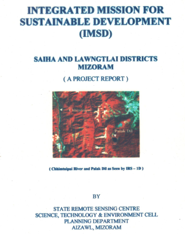
Satellite data & Year: IRS 1D, 1994-1995
Thematic sub-category: Land & Water, Geology, Spatial Planning
Collaborating/Funding Agency: Government of Mizoram
Report Publication Month/Year: November, 2002