Access Options
Member Only Content
Please log in to view availability or download this document.
| Published | December 16, 2004 |
|---|---|
| Type | Project Report |
| Thematic Category | Land Resources |
| Project | Wastelands of Mizoram |
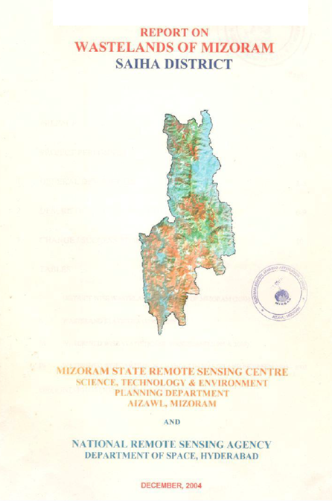
Wastelands of Mizoram – Saiha District
Abstract / Description
The Report on Wastelands of Mizoram – Saiha District was prepared under the initiative of National Wasteland Atlas Updation Programme, a nationwide remote sensing collaborative work coordinated by the Land Use Division of the National Remote Sensing Agency (NRSA), Department of Space, Government of India. The project was implemented in Mizoram by the Mizoram State Remote Sensing Centre (MSRSC) with the objective of updating the spatial inventory of wastelands, assessing changes in wasteland extent since the previous mapping cycle, and generating a reliable geospatial database to support land reclamation, resource management, and sustainable development planning.
The study covers the entire Saiha District, located in the southernmost part of Mizoram, encompassing a geographical area of 1,965.81 sq. km, representing approximately 9.32% of the total area of Mizoram. At the time of the study, the district had a population of 61,056 with a literacy rate of 82.2%, indicating increasing developmental pressure on a landscape characterized by rugged hills, steep slopes, and extensive forest cover. The district also receives an average annual rainfall of approximately 2,625 mm, placing it within a high-rainfall ecological zone where land-use practices significantly influence soil stability and watershed health.
The primary objective of the project was to identify, classify, and quantify wasteland categories using satellite remote sensing and GIS techniques, while also documenting changes that had occurred between successive mapping periods. The study generated district-level and watershed-level statistics on wasteland distribution and analyzed trends in land degradation and land-use transitions. Particular emphasis was placed on identifying wasteland categories associated with shifting cultivation practices, abandoned jhum areas, and degraded forest lands, which constitute the dominant forms of land degradation in the hill ecosystems of Mizoram.
The findings indicate that wasteland formation in Saiha District is closely linked to traditional shifting cultivation systems and the shortening of fallow cycles. Large areas of current and abandoned jhum lands were observed across the district, reflecting the continuing dependence of rural communities on shifting cultivation. The study also highlights the occurrence of degraded forest areas where repeated disturbance has reduced vegetation quality and ecological productivity. These degraded landscapes are particularly vulnerable to soil erosion, nutrient depletion, and loss of biodiversity due to the district’s steep terrain and high rainfall regime. The watershed-based analysis further provides an understanding of how wasteland distribution varies spatially and identifies areas where degradation pressures are most pronounced.
Beyond mapping and quantification, the report emphasizes the importance of reclamation and sustainable management of degraded lands. The updated wasteland database and associated change analysis provide a valuable baseline for planners and decision-makers to prioritize restoration interventions, improve land productivity, and promote environmentally sustainable land-use practices. The project demonstrates the effectiveness of satellite remote sensing in monitoring land degradation and offers a scientific foundation for future programmes focused on afforestation, agroforestry, watershed management, and sustainable rural development in Saiha District.
Summarized Metadata
Mapping Scale: 1:50,000
Satellite data & Year: IRS 1D LISS III, February 2003
Thematic sub-category: Wasteland, Spatial Planning
Collaborating/Funding Agency: National Remote Sensing Centre (NRSC), Hyderabad
Report Publication Month/Year: December, 2004