Project Information
| Code | MIRSAC-PRJ-9 |
|---|---|
| Category | Land Resources |
| Time Period | January 2003 |
| Funding Agency | National Remote Sensing Centre (NRSC), Hyderabad |
Wastelands of Mizoram
Wasteland
Mizoram
Shifting cultivation
Project Description
The “Wastelands of Mizoram” project was undertaken as part of a nationwide initiative of the Department of Space, Government of India, coordinated through the National Remote Sensing Agency (NRSA), Hyderabad, to develop an updated and scientifically reliable inventory of wastelands across the country. In Mizoram, the project was implemented by the Mizoram State Remote Sensing Application Centre (MIRSAC) in close collaboration with NRSA, utilizing standardized methodologies and geospatial technologies to map, classify, and assess wastelands across all eight districts of the state.
The primary objective of the project was to generate a comprehensive spatial database of wastelands and degraded land resources using satellite remote sensing and Geographic Information System (GIS) techniques. The study aimed to identify the extent, distribution, and characteristics of wasteland categories prevalent in Mizoram’s unique mountainous environment and to provide a scientific basis for land reclamation, restoration planning, and sustainable resource management. The project recognized the growing need for reliable geospatial information to support informed decision-making in a state where land-use dynamics are strongly influenced by shifting cultivation, forest resource utilization, and challenging terrain conditions.
The project employed satellite imagery acquired from Indian Remote Sensing (IRS) satellites, supported by image interpretation, cartographic analysis, GIS integration, and field verification. These technologies enabled the systematic mapping of degraded lands at a uniform scale and facilitated the creation of district-wise and state-level spatial databases. The study covered the entire geographical extent of Mizoram, encompassing diverse physiographic regions ranging from densely forested hill ranges and river valleys to areas affected by land degradation arising from human and natural processes.
A key outcome of the project is the generation of a standardized geospatial repository on wastelands that serves as an important reference for planners, policymakers, researchers, and development agencies. The thematic maps, spatial datasets, and accompanying reports provide valuable baseline information for identifying priority areas requiring intervention and for formulating land management strategies suited to local environmental conditions. The project also contributes to a better understanding of the relationship between land-use practices and landscape degradation, thereby supporting long-term planning for ecological restoration and sustainable development.
The information generated through this project has significant practical value for a wide range of sectors, including forestry, agriculture, horticulture, watershed development, rural development, and environmental conservation. By providing accurate and spatially referenced information on degraded lands, the project supports the design of targeted reclamation programmes, afforestation initiatives, agroforestry interventions, and watershed management activities. As one of the earliest state-wide geospatial assessments of land degradation in Mizoram, the “Wastelands of Mizoram” project remains an important resource for evidence-based planning and sustainable management of the state’s land resources.
Summarize Metadata
Mapping Scale: 1:50,000
Satellite data & Year: IRS 1D LISS III (2003)
Study area: Mizoram
Collaborating/Funding Agency: National Remote Sensing Centre (NRSC), Hyderabad
No. of Report(s) published: 8
Project Period: 2003 - 2004
Related Publications
5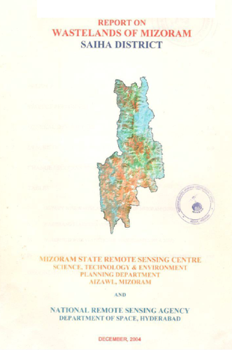
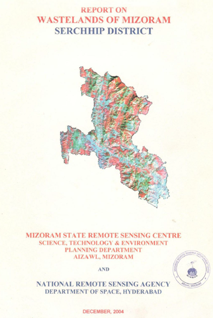
Wastelands of Mizoram – Saiha District
Dec 2004 Project Report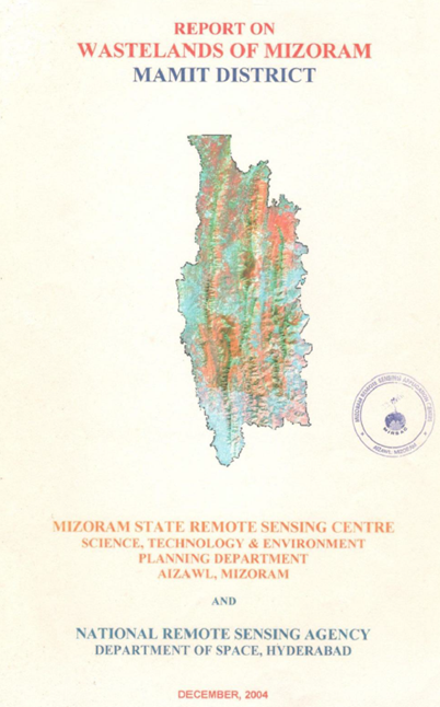
Wastelands on Mizoram - Mamit district
Dec 2004 Project Report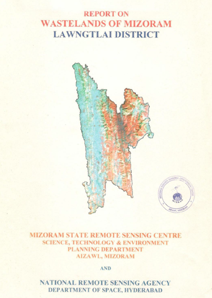
Wastelands of Mizoram - Lawngtlai district
Dec 2004 Project Report
Wastelands of Mizoram - Lunglei district
Dec 2004 Project Report