Access Options
Member Only Content
Please log in to view availability or download this document.
| Published | December 16, 2004 |
|---|---|
| Type | Project Report |
| Thematic Category | Land Resources |
| Project | Wastelands of Mizoram |
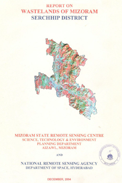
Wastelands of Mizoram - Serchhip district
Abstract / Description
The “Report on Wastelands of Mizoram – Serchhip District” was prepared under the National Wastelands Atlas Updation Programme, coordinated by the National Remote Sensing Agency (NRSA), Department of Space, Government of India, and implemented in Mizoram by the Mizoram State Remote Sensing Application Centre (MSRSC). The project aimed to update the spatial inventory of wastelands using satellite remote sensing and Geographic Information System (GIS) techniques, evaluate changes in land degradation over time, and develop a reliable geospatial database to support sustainable land-use planning, watershed management, and ecological restoration. The study contributes to the state-wide assessment of degraded lands and provides a scientific basis for prioritizing reclamation and conservation measures.
The study encompasses the entire Serchhip District, located in the central part of Mizoram and characterized by rugged hill terrain, steep slopes, dense forest cover, and a predominantly agrarian population. The district experiences a humid tropical climate with high annual rainfall, which promotes luxuriant vegetation but also increases the susceptibility of disturbed slopes to soil erosion and land degradation. Traditional land-use systems, particularly shifting cultivation (jhum), continue to exert significant influence on the district’s landscape dynamics and ecological stability.
The principal objective of the project was to identify, classify, and quantify different categories of wastelands through interpretation of multi-temporal IRS satellite imagery and GIS analysis, while also assessing the changes that occurred between the previous wasteland inventory and the updated assessment. Mapping was carried out at both district and watershed levels to evaluate the spatial distribution of degraded lands and identify areas requiring priority intervention. Particular emphasis was placed on wasteland categories associated with current shifting cultivation, abandoned jhum lands, degraded forest areas, and shifting cultivation occurring within notified forest lands, which constitute the dominant forms of land degradation in the district.
The assessment indicates that shifting cultivation remains the principal driver of wasteland formation in Serchhip District. Expansion of current jhum cultivation, coupled with shortened fallow cycles, has resulted in the gradual conversion of mature forests into secondary bamboo-dominated vegetation and degraded landscapes. The study highlights a net increase in wasteland extent compared with the previous assessment, reflecting continued pressure on land resources due to repeated forest clearing, biomass removal, and unsustainable cultivation practices. Watershed-level analysis reveals considerable spatial variation in wasteland distribution, with higher concentrations occurring in areas where shifting cultivation is more intensive and terrain conditions favour accelerated soil erosion.
The study also documents localized improvements in land condition resulting from plantation programmes, horticultural development, and conversion of degraded lands into permanent agricultural systems, demonstrating the potential for successful reclamation through appropriate land management practices. These observations emphasize the importance of integrating scientific land-use planning with community-based resource management to reduce further land degradation.
Overall, the project provides a comprehensive geospatial assessment of wastelands in Serchhip District and establishes an important baseline for long-term environmental monitoring. The findings serve as a valuable resource for planners, policymakers, and development agencies by identifying priority areas for afforestation, agroforestry, watershed development, soil and water conservation, and sustainable agricultural interventions. Furthermore, the study demonstrates the effectiveness of remote sensing and GIS technologies in supporting evidence-based decision-making for sustainable land resource management in the hill ecosystems of Mizoram.
Summarized Metadata
Mapping Scale: 1:50,000
Satellite data & Year: IRS 1D LISS III, February 2003
Thematic sub-category: Wasteland, Spatial Planning
Collaborating/Funding Agency: National Remote Sensing Centre (NRSC), Hyderabad
Report Publication Month/Year: December, 2004