Access Options
Member Only Content
Please log in to view availability or download this document.
| Published | December 16, 2004 |
|---|---|
| Type | Project Report |
| Thematic Category | Land Resources |
| Project | Wasteland Mapping of Mizoram |
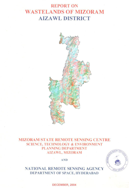
Wastelands of Mizoram - Aizawl district
Abstract / Description
The “Report on Wastelands of Mizoram – Aizawl District” was prepared under the National Wastelands Atlas Updation Programme, coordinated by the National Remote Sensing Agency (NRSA), Department of Space, Government of India, and implemented by the Mizoram State Remote Sensing Centre (MSRSC). The project aimed to update the spatial inventory of wastelands using advanced Remote Sensing and Geographic Information System (GIS) techniques, evaluate changes in land degradation since the previous national assessment, and develop a comprehensive geospatial database to support sustainable land-use planning, watershed management, and ecological restoration. The study forms an integral part of the state-wide initiative to monitor degraded lands and provide scientific information for resource conservation and development planning.
The study encompasses the entire Aizawl District, located in the north-central part of Mizoram, with a geographical area of approximately 3,557.36 sq. km, representing about 16.86% of the total geographical area of the state. The district is characterized by rugged hill ranges, steep slopes, narrow valleys, and extensive forest cover. The humid tropical climate, with an average annual rainfall exceeding 2,500 mm, supports luxuriant vegetation but also accelerates soil erosion and land degradation in areas disturbed by anthropogenic activities. Agriculture, particularly shifting cultivation (jhum), remains the principal land-use practice influencing the district's landscape dynamics.
The primary objective of the project was to identify, classify, and quantify various wasteland categories using interpretation of IRS satellite imagery integrated with GIS analysis, and to assess temporal changes in wasteland distribution between 1995 and 2003. The assessment focused on major wasteland classes including current shifting cultivation, abandoned shifting cultivation, degraded forests, and current jhum within notified forest areas. Spatial analysis was carried out at both district and watershed levels to identify areas experiencing severe land degradation and requiring priority management interventions.
The study reveals that the total wasteland area in Aizawl District increased from 756.26 sq. km (21.25% of the geographical area) in 1995 to 792.61 sq. km (22.28%) in 2003, representing a net increase of 36.35 sq. km (1.03% of the district area) during the eight-year period. Abandoned shifting cultivation emerged as the dominant wasteland category, increasing from 465.01 sq. km (13.07%) to 483.24 sq. km (13.58%), while degraded forest expanded from 67.19 sq. km (1.89%) to 73.70 sq. km (2.08%). Conversely, current shifting cultivation declined slightly from 196.04 sq. km (5.51%) to 184.10 sq. km (5.18%), suggesting localized conversion of active jhum fields into abandoned fallows and secondary vegetation. The study also identified 51.56 sq. km (1.45%) of current shifting cultivation occurring within notified forest areas, indicating continued pressure on protected forest ecosystems.
Watershed-level analysis demonstrated considerable spatial variability in wasteland distribution, with several watersheds exhibiting wasteland proportions exceeding 30% of their geographical area, reflecting the combined influence of steep terrain, repeated shifting cultivation, and shortened fallow cycles. The report further documents localized reductions in wasteland extent resulting from afforestation programmes, horticultural plantations, and conversion of degraded lands into permanent agricultural systems, illustrating the effectiveness of targeted reclamation initiatives.
Overall, the project provides a robust geospatial assessment of land degradation in Aizawl District and establishes an important baseline for future environmental monitoring. The findings offer valuable guidance for planners, policymakers, and resource managers in prioritizing interventions related to afforestation, watershed development, agroforestry, soil and water conservation, and sustainable agricultural practices. Furthermore, the study demonstrates the effectiveness of Remote Sensing and GIS technologies in supporting evidence-based land resource management and promoting environmentally sustainable development in the fragile hill ecosystems of Mizoram.
Summarized Metadata
Mapping Scale: 1:50,000
Satellite data & Year: IRS 1D LISS III, February 2003
Thematic sub-category: Wasteland, Spatial Planning
Collaborating/Funding Agency: National Remote Sensing Centre (NRSC), Hyderabad
Report Publication Month/Year: December, 2004