Project Information
| Code | MIRSAC-PRJ-4 |
|---|---|
| Category | Land Resources |
| Time Period | March 1997 |
| Funding Agency | National Remote Sensing Centre (NRSC), Hyderabad |
Wasteland Mapping of Mizoram
Wasteland
Aizawl
Lunglei
Chhimtuipui
Project Description
The Wasteland Mapping Project (Phase V) is a nationwide remote sensing initiative undertaken during 1997–1999 under the aegis of the National Remote Sensing Agency (NRSA), Department of Space, Hyderabad, in response to the requirements of the Department of Wasteland Development, Ministry of Rural Areas and Employment, Government of India. The project was conceptualized to generate a systematic and spatially consistent inventory of wastelands across the country to support planning for land reclamation and sustainable resource management. In Mizoram, the responsibility for execution was entrusted to the Mizoram Remote Sensing Application Centre, then functioning under the Science, Technology & Environment Cell, in close coordination with NRSA.
The primary objective of the project was to identify, map, and quantify the spatial distribution of wastelands across the three major districts of Mizoram - Aizawl, Lunglei, and Chhimtuipui using satellite remote sensing techniques. The study employed visual interpretation of satellite imagery acquired from the Indian Remote Sensing satellite IRS-1B, utilizing the LISS-II sensor, and mapping was carried out at a scale of 1:50,000. This approach enabled the delineation of wasteland categories within the complex and heterogeneous landscape of Mizoram’s hilly terrain.
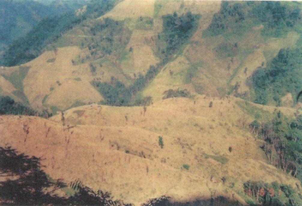
The analysis identified two major categories of wastelands prevalent in the region: areas under shifting cultivation, including both current and abandoned jhum lands, and degraded notified forest lands. These categories reflect the dominant land-use practices and the associated environmental pressures, particularly the effects of shortened jhum cycles and forest degradation. The project generated district-wise spatial datasets and area statistics, providing a clear representation of the extent and distribution of wastelands.
Beyond mapping, the project placed strong emphasis on the productive utilization and rehabilitation of these degraded lands. Based on land capability and ecological suitability, a range of reclamation and management strategies were proposed. These include silvipasture development, sericulture, silviculture, horticulture, agro-horticulture, and improved agricultural practices, each tailored to specific wasteland conditions.
The outputs of this project comprising thematic maps, statistical data, and management recommendations serve as a foundational geospatial database for planners and policymakers. The study provides critical baseline information to support scientifically informed decision-making, enabling the formulation of targeted programmes for wasteland development, ecological restoration, and enhancement of land productivity in Mizoram.
Summarize Metadata
Mapping Scale: 1:50,000
Satellite data & Year: IRS 1B (1995)
Study area: Aizawl, Lunglei & Chhimtuipui districts.
Collaborating/Funding Agency: National Remote Sensing Centre (NRSC), Hyderabad
No. of Reports published: 3
Project Period: 1997 - 1999
The primary objective of the project was to identify, map, and quantify the spatial distribution of wastelands across the three major districts of Mizoram - Aizawl, Lunglei, and Chhimtuipui using satellite remote sensing techniques. The study employed visual interpretation of satellite imagery acquired from the Indian Remote Sensing satellite IRS-1B, utilizing the LISS-II sensor, and mapping was carried out at a scale of 1:50,000. This approach enabled the delineation of wasteland categories within the complex and heterogeneous landscape of Mizoram’s hilly terrain.
The analysis identified two major categories of wastelands prevalent in the region: areas under shifting cultivation, including both current and abandoned jhum lands, and degraded notified forest lands. These categories reflect the dominant land-use practices and the associated environmental pressures, particularly the effects of shortened jhum cycles and forest degradation. The project generated district-wise spatial datasets and area statistics, providing a clear representation of the extent and distribution of wastelands.
Beyond mapping, the project placed strong emphasis on the productive utilization and rehabilitation of these degraded lands. Based on land capability and ecological suitability, a range of reclamation and management strategies were proposed. These include silvipasture development, sericulture, silviculture, horticulture, agro-horticulture, and improved agricultural practices, each tailored to specific wasteland conditions.
The outputs of this project comprising thematic maps, statistical data, and management recommendations serve as a foundational geospatial database for planners and policymakers. The study provides critical baseline information to support scientifically informed decision-making, enabling the formulation of targeted programmes for wasteland development, ecological restoration, and enhancement of land productivity in Mizoram.
Summarize Metadata
Mapping Scale: 1:50,000
Satellite data & Year: IRS 1B (1995)
Study area: Aizawl, Lunglei & Chhimtuipui districts.
Collaborating/Funding Agency: National Remote Sensing Centre (NRSC), Hyderabad
No. of Reports published: 3
Project Period: 1997 - 1999
Related Publications
6
Wastelands of Mizoram - Aizawl district
Dec 2004 Project Report
Wastelands of Mizoram - Champhai district
Dec 2004 Project Report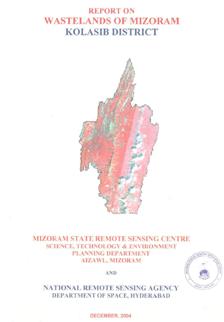
Wastelands of Mizoram - Kolasib district
Dec 2004 Project Report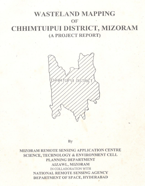
Wasteland Mapping of Chhimtuipui district, Mizoram
Jul 1999 Project Report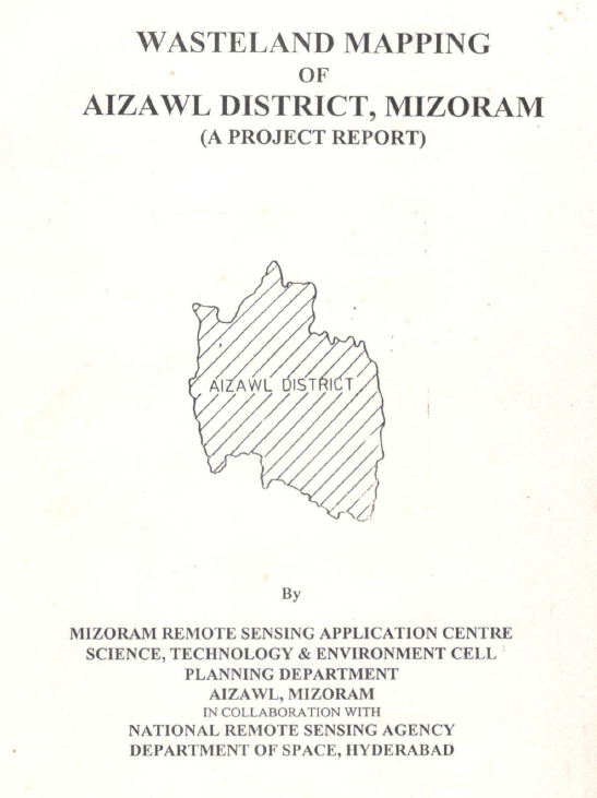
Wasteland Mapping of Aizawl District, Mizoram
Jul 1999 Project Report