Access Options
Member Only Content
Please log in to view availability or download this document.
| Published | July 31, 2007 |
|---|---|
| Type | Project Report |
| Thematic Category | Multi-Thematic |
| Project | Natural Resources Mapping of Mizoram |
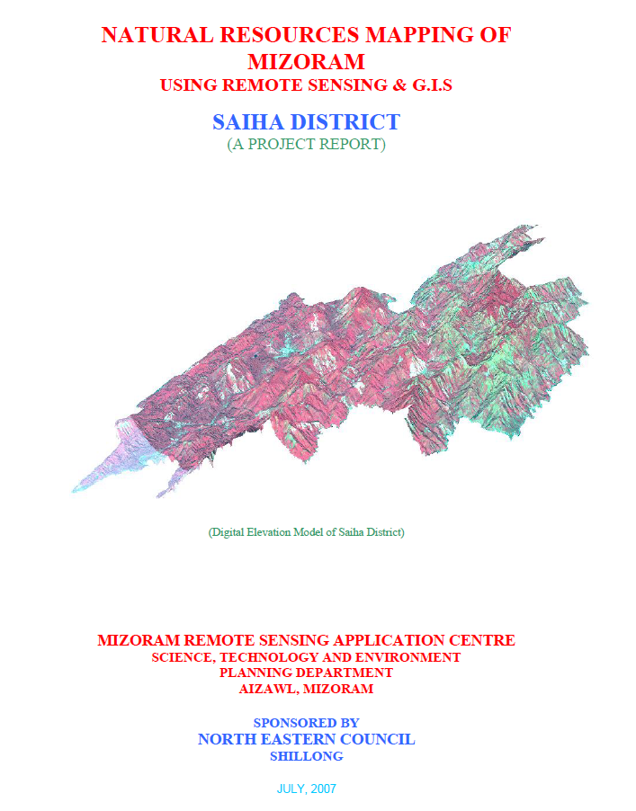
Natural Resources Mapping of Saiha District using Remote Sensing and GIS
Abstract / Description
The Natural Resources Mapping of Saiha District using Remote Sensing and GIS was undertaken by the Mizoram State Remote Sensing Centre (MSRSC), Science, Technology & Environment Wing, Planning Department, Government of Mizoram, under the Natural Resources Mapping of Mizoram programme funded by the North Eastern Council (NEC), Shillong. The project formed part of a comprehensive three-year state-wide initiative to develop an integrated geospatial database of Mizoram's natural resources using Remote Sensing (RS), Geographic Information System (GIS), GPS-assisted field surveys, and conventional resource investigations. Its primary objective was to generate reliable thematic information on the district's land, water, forest, and terrain resources to support scientific planning, sustainable development, and long-term natural resource management.
The study encompasses the entire Saiha District, covering approximately 1,399.16 sq. km, or about 6.64% of Mizoram's geographical area. High-resolution IRS-1D LISS-III and Panchromatic satellite imagery, together with Survey of India topographic maps, geological data, meteorological records, soil surveys, and extensive field verification, were integrated within a GIS environment to prepare detailed thematic maps on land use/land cover, geology, geomorphology, drainage, watershed boundaries, groundwater potential, soils, slope, aspect, settlements, and transportation networks. The integration of these datasets enabled a comprehensive assessment of the district's natural resources and facilitated the preparation of integrated land and water resource development plans.
The analysis shows that Saiha District is characterized by rugged structural hill ranges, deeply incised valleys, and a dense drainage network dominated by the Kolodyne (Chhimtuipui) River and its tributaries. Terrain analysis indicates that steep and moderately steep slopes occupy the majority of the district, significantly influencing land capability, settlement distribution, and agricultural practices. The district remains predominantly forested, with forest and bamboo forest together accounting for nearly 70% of the total geographical area, highlighting its importance as one of Mizoram's ecologically rich landscapes. The land use assessment also identifies current shifting cultivation (approximately 94 sq. km, 6.7%) and young abandoned jhum (around 166 sq. km, 11.9%) as major land-use categories, reflecting the continuing influence of traditional shifting cultivation on the landscape. Permanent agriculture and horticultural plantations occupy comparatively smaller but steadily expanding areas, particularly within valley bottoms and gentle slopes.
Groundwater assessment indicates that poor groundwater potential predominates across nearly half of the district, largely due to the steep terrain and rapid runoff, while moderate groundwater potential occupies approximately one-third of the area, mainly along valleys and structurally favourable zones. Soil investigations reveal predominantly acidic hill soils derived from sedimentary rocks of the Surma Group, possessing moderate organic matter but requiring appropriate conservation measures because of their susceptibility to erosion on steep slopes. The watershed analysis further identifies priority areas for rainwater harvesting, soil conservation, and integrated watershed development.
A major outcome of the project is the establishment of a district-level natural resources information integrating all thematic datasets within a GIS platform for resource evaluation and spatial planning. Based on the integrated assessment, the report recommends watershed development, afforestation, bamboo resource management, agroforestry, horticultural expansion, groundwater development, and scientific land capability-based planning to optimize resource utilization while conserving the district's fragile hill ecosystem.
Overall, the study demonstrates the effectiveness of combining Remote Sensing, GIS, GPS, and field investigations for comprehensive natural resource assessment in mountainous regions. The thematic maps, digital databases, and resource development plans generated under the project provide an invaluable baseline for government agencies, planners, researchers, and development organizations, supporting evidence-based planning, environmental conservation, and sustainable management of Saiha District's diverse natural resources.
Summarized Metadata
Mapping Scale: 1:50,000
Satellite data & Year: IRS 1D PAN & LISS III (2003 & 2004) – Digital & Photo print
Thematic sub-category: Land Use/Land Cover, Geology, Water resource, Climate, Action Plan
Collaborating/Funding Agency: North Eastern Council (NEC), Shillong
Report Publication Month/Year: July, 2007