Project Information
| Code | MIRSAC-PRJ-12 |
|---|---|
| Category | Multi-Thematic |
| Time Period | September 2004 |
| Funding Agency | North Eastern Council (NEC), Shillong |
Natural Resources Mapping of Mizoram
Natural resources
Mapping
Remote sensing
GIS
Districtwise
Spatial planning
Action Plan
Project Description
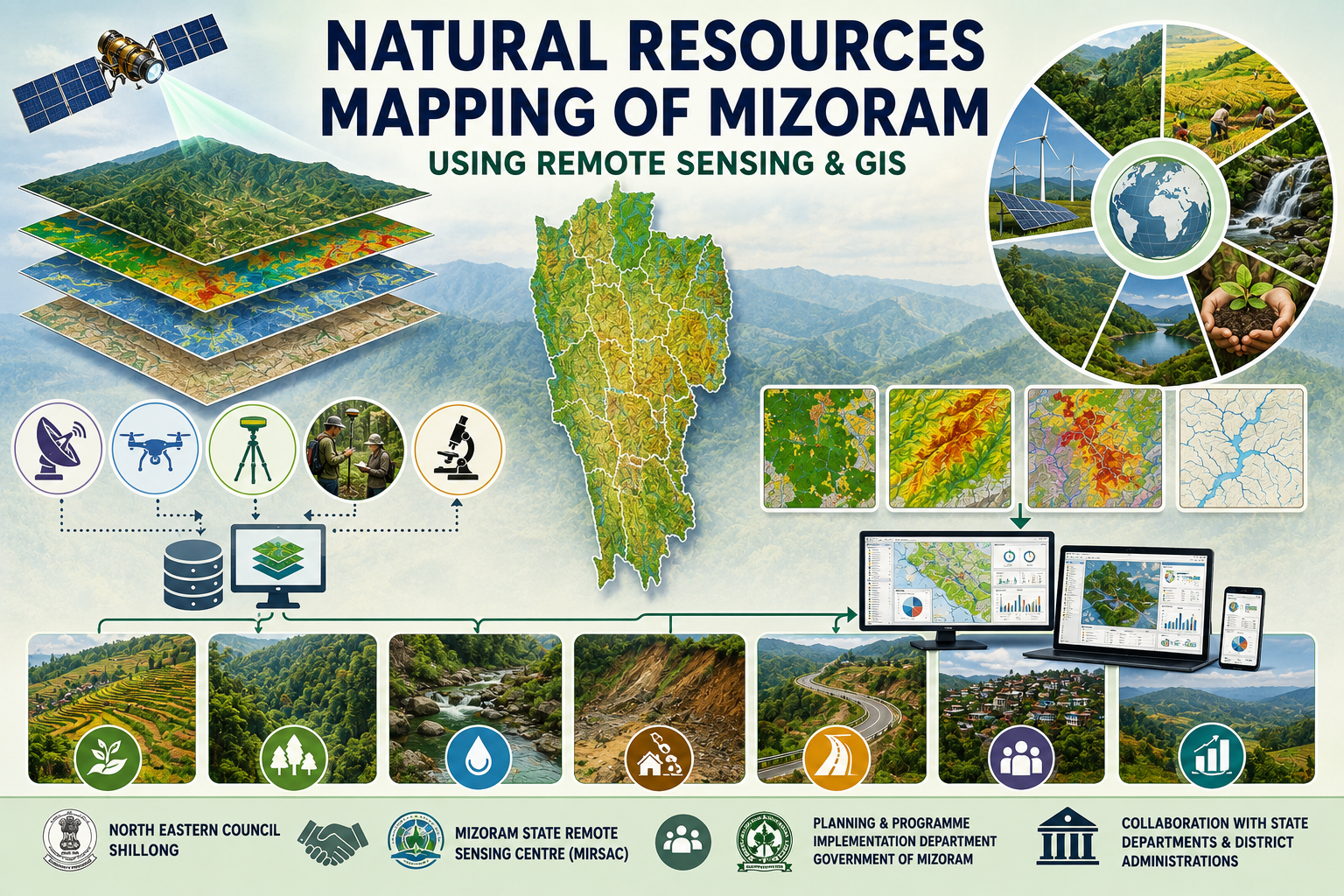
The Natural Resources Mapping of Mizoram using Remote Sensing and GIS is a flagship geospatial resource inventory project undertaken by the Mizoram State Remote Sensing Centre (MSRSC) under the Science, Technology & Environment Wing, Planning Department, Government of Mizoram, with financial support from the North Eastern Council (NEC), Shillong. Initiated in 2004 as a three-year programme, the project was implemented in a district-wise phased manner to systematically cover the entire state and develop a comprehensive geospatial database of Mizoram's natural resources. It represents one of the earliest large-scale initiatives in the state to integrate satellite Remote sensing and Geographic Information System (GIS) technologies for natural resource assessment and development planning.
The primary objective of the project was to create standardized thematic maps and digital spatial databases covering the state's major natural resources, thereby providing reliable scientific information for sustainable planning and management. Using high-resolution Indian Remote Sensing (IRS-1D LISS-III and Panchromatic) satellite imagery, supported by Survey of India topographic maps, field verification, GPS and GIS-based spatial analysis, the project generated a comprehensive inventory of natural resources across Mizoram. Major thematic layers include land use/land cover, geology, geomorphology, soils, drainage, watershed boundaries, groundwater potential, slope, aspect, transport network, and settlements. These thematic datasets were digitized and integrated within a GIS environment to enable spatial analysis and preparation of resource-based action plans.
The project covered the entire geographical extent of Mizoram, encompassing its diverse physiographic regions, mountainous terrain, river basins, forests, agricultural landscapes, and rural settlements. By adopting a uniform methodology across all districts, the project established a consistent and scientifically validated geospatial database capable of supporting planning at district, watershed, and state levels. The integrated assessment provides a holistic understanding of the interrelationships between land, water, terrain, and other natural resources, facilitating informed decision-making for sustainable development.
One of the most significant outcomes of the project is the creation of statewide natural resources information that serves as a valuable reference for government departments, researchers, planners, academic institutions, and development agencies. The thematic maps and digital databases provide critical baseline information for watershed management, agriculture and horticulture development, forestry, groundwater exploration, infrastructure planning, disaster risk reduction, environmental conservation, and land capability assessment. The project also enables resource monitoring, identification of development potential, and formulation of scientifically based action plans tailored to local conditions.
By demonstrating the effective integration of Remote Sensing, GIS, GPS, and field observations, the project established a modern framework for geospatial planning in Mizoram. Even today, the datasets and reports generated under this initiative remain an important repository of baseline information for multidisciplinary research, policy formulation, environmental assessment, and evidence-based planning. As one of the pioneering state-wide geospatial mapping programmes supported by the North Eastern Council, the project has significantly strengthened the application of space technology in natural resource management and continues to provide lasting value for the sustainable development of Mizoram.
Summarize Metadata
Mapping Scale: 1:50,000
Satellite data & Year: IRS 1D PAN & LISS III (2003 & 2004) – Digital & Photo print
Study area: Mizoram
Collaborating/Funding Agency: North Eastern Council (NEC), Shillong
No. of Report(s) published: 8
Project Period: 2004 – 2007
The primary objective of the project was to create standardized thematic maps and digital spatial databases covering the state's major natural resources, thereby providing reliable scientific information for sustainable planning and management. Using high-resolution Indian Remote Sensing (IRS-1D LISS-III and Panchromatic) satellite imagery, supported by Survey of India topographic maps, field verification, GPS and GIS-based spatial analysis, the project generated a comprehensive inventory of natural resources across Mizoram. Major thematic layers include land use/land cover, geology, geomorphology, soils, drainage, watershed boundaries, groundwater potential, slope, aspect, transport network, and settlements. These thematic datasets were digitized and integrated within a GIS environment to enable spatial analysis and preparation of resource-based action plans.
The project covered the entire geographical extent of Mizoram, encompassing its diverse physiographic regions, mountainous terrain, river basins, forests, agricultural landscapes, and rural settlements. By adopting a uniform methodology across all districts, the project established a consistent and scientifically validated geospatial database capable of supporting planning at district, watershed, and state levels. The integrated assessment provides a holistic understanding of the interrelationships between land, water, terrain, and other natural resources, facilitating informed decision-making for sustainable development.
One of the most significant outcomes of the project is the creation of statewide natural resources information that serves as a valuable reference for government departments, researchers, planners, academic institutions, and development agencies. The thematic maps and digital databases provide critical baseline information for watershed management, agriculture and horticulture development, forestry, groundwater exploration, infrastructure planning, disaster risk reduction, environmental conservation, and land capability assessment. The project also enables resource monitoring, identification of development potential, and formulation of scientifically based action plans tailored to local conditions.
By demonstrating the effective integration of Remote Sensing, GIS, GPS, and field observations, the project established a modern framework for geospatial planning in Mizoram. Even today, the datasets and reports generated under this initiative remain an important repository of baseline information for multidisciplinary research, policy formulation, environmental assessment, and evidence-based planning. As one of the pioneering state-wide geospatial mapping programmes supported by the North Eastern Council, the project has significantly strengthened the application of space technology in natural resource management and continues to provide lasting value for the sustainable development of Mizoram.
Summarize Metadata
Mapping Scale: 1:50,000
Satellite data & Year: IRS 1D PAN & LISS III (2003 & 2004) – Digital & Photo print
Study area: Mizoram
Collaborating/Funding Agency: North Eastern Council (NEC), Shillong
No. of Report(s) published: 8
Project Period: 2004 – 2007
Related Publications
9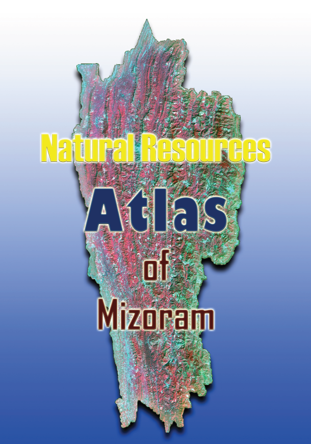
Natural Resources Atlas of Mizoram
Jun 2009 Atlas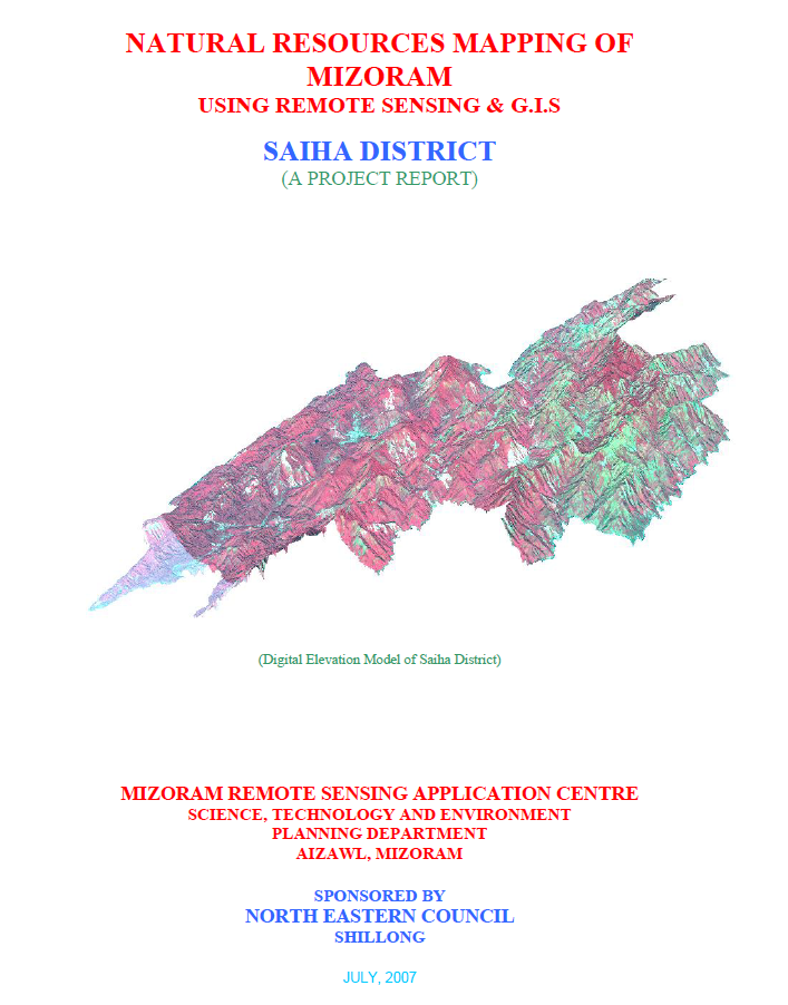
Natural Resources Mapping of Saiha District using Remote Sensing and GIS
Jul 2007 Project Report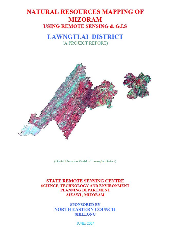
Natural Resources Mapping of Lawngtlai District using Remote Sensing and GIS
Jun 2007 Project Report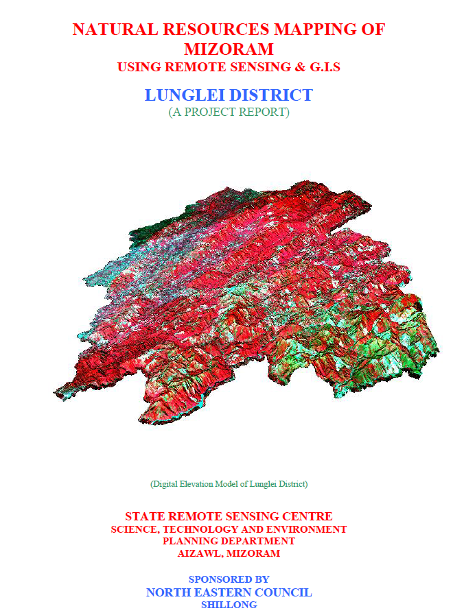
Natural Resources Mapping of Lunglei District using Remote Sensing and GIS
Mar 2007 Project Report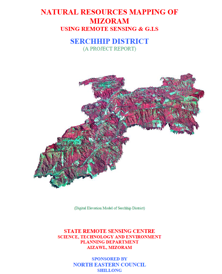
Natural Resources Mapping of Serchhip District using Remote Sensing and GIS
Mar 2007 Project Report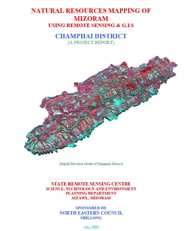
Natural Resources Mapping of Champhai District using Remote Sensing and GIS
Jul 2006 Project Report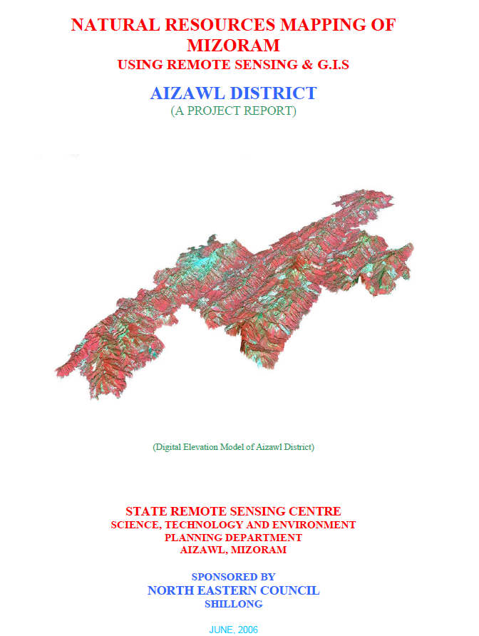
Natural Resources Mapping of Aizawl District using Remote Sensing and GIS
Jun 2006 Project Report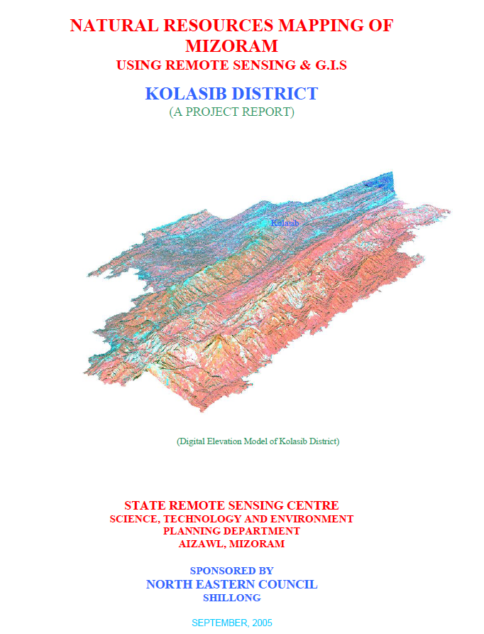
Natural Resources Mapping of Kolasib District using Remote Sensing and GIS
Sep 2005 Project Report