Access Options
Member Only Content
Please log in to view availability or download this document.
| Published | June 18, 2009 |
|---|---|
| Type | Atlas |
| Thematic Category | Multi-Thematic |
| Project | Natural Resources Mapping of Mizoram |
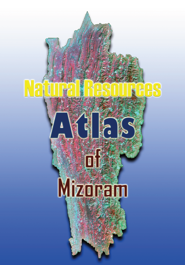
Natural Resources Atlas of Mizoram
Abstract / Description
The Atlas of Natural Resources of Mizoram is a comprehensive geospatial reference publication prepared by the Mizoram State Remote Sensing Centre (MSRSC) under the Science, Technology & Environment Wing, Planning Department, Government of Mizoram. Published in 2009, the Atlas represents the culmination of the Natural Resources Mapping of Mizoram project, a state-wide initiative funded by the North Eastern Council (NEC), Shillong, and subsequently supported by the Government of Mizoram for the compilation and publication of this integrated reference volume. Unlike the individual district reports, which present detailed technical analyses, the Atlas consolidates the findings from all districts into a single, visually rich document that provides a comprehensive overview of Mizoram's natural resources through thematic maps, state-wide statistics, and spatial analyses.
Prepared using Remote Sensing, Geographic Information System (GIS), GPS-based field verification, and conventional resource surveys, the Atlas integrates information derived from high-resolution IRS satellite imagery with field observations and existing geoscientific data. It presents an extensive collection of standardized maps covering major natural resource themes, including land use land cover, geology, geomorphology, soils, drainage, watersheds, groundwater potential, slope, aspect, elevation, transportation networks, settlements, and integrated land and water resource development action plans. In addition to district-wise thematic maps, the Atlas introduces consolidated state-level resource inventories and statistical summaries, enabling readers to visualize the spatial distribution, extent, and diversity of Mizoram's natural resources at a broader regional scale.
One of the principal strengths of the Atlas lies in its ability to transform large volumes of technical geospatial information into an accessible and user-friendly reference. By combining district-level datasets into a unified state-wide perspective, it highlights regional variations in terrain, forest resources, agricultural landscapes, watershed systems, soil characteristics, groundwater prospects, and land capability. The Atlas also provides valuable insights into the distribution of shifting cultivation, forest cover, bamboo resources, and environmentally sensitive areas, thereby serving as an important baseline for monitoring land-use change and supporting evidence-based environmental planning. The standardized thematic maps facilitate comparison across districts and offer an integrated understanding of the interrelationships between natural resources, physiography, and developmental potential.
Designed as a multidisciplinary reference, the Atlas serves a wide spectrum of users, including government departments, planners, researchers, academic institutions, engineers, environmental managers, and policymakers. The information compiled within the Atlas supports applications in watershed management, forestry, agriculture, horticulture, infrastructure planning, groundwater exploration, disaster risk reduction, biodiversity conservation, environmental impact assessment, and sustainable regional development. Even years after its publication, the Atlas continues to serve as an invaluable baseline document for geospatial planning and natural resource management in Mizoram.
User Advisory: Owing to the inclusion of numerous high-resolution thematic maps covering the entire State of Mizoram, the digital version of this Atlas is large in size (exceeding 300 MB). Users should expect longer download times depending on their internet connection, and opening the document may require considerable system memory and processing resources, particularly on older computers or mobile devices. For users requiring only a quick overview of the state's natural resources, a condensed edition containing the consolidated state-wide maps and statistical summaries is also available upon request, offering a more lightweight and convenient alternative for general reference.
Summarized Metadata
Mapping Scale: 1:50,000
Satellite data & Year: IRS 1D PAN & LISS III (2003 & 2004)
Thematic sub-category: Land Use/Land Cover, Geology, Water resource, Climate, Action Plan
Collaborating/Funding Agency: Science, Technology & Environment Wing, Planning Department, Government of Mizoram
Report Publication Month/Year: June, 2009