Access Options
Member Only Content
Please log in to view availability or download this document.
| Published | December 13, 2005 |
|---|---|
| Type | Project Report |
| Thematic Category | Multi-Thematic |
| Project | National Natural Resources Information System (NRIS) |
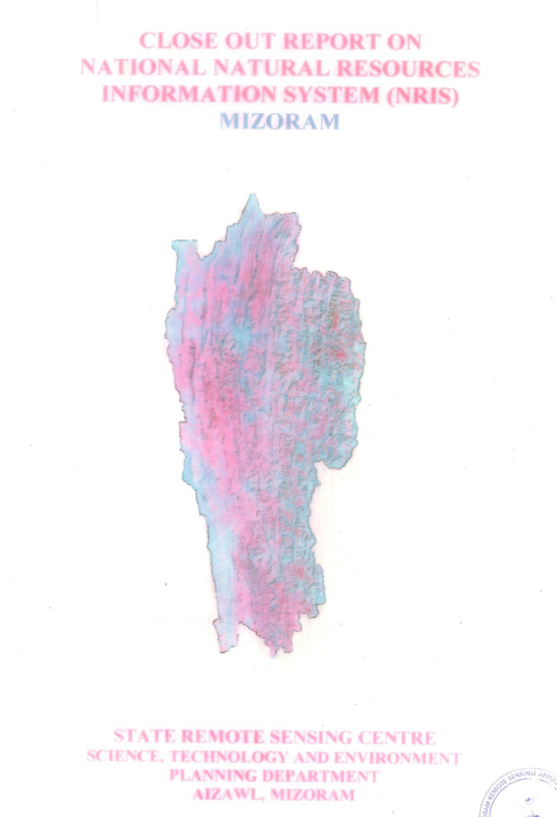
Close out Report of National Natural Resources Information System
Abstract / Description
The Closeout Report on the National Natural Resources Information System (NRIS) for Mizoram documents the successful completion of one of the state's pioneering geospatial information infrastructure projects implemented under the National Natural Resources Management System (NNRMS) of the Department of Space (DoS), Government of India. Executed by the Mizoram State Remote Sensing Centre (MSRSC) in collaboration with the Planning Department, Government of Mizoram, and supported through technical guidance from national remote sensing institutions, the project established an integrated Natural Resources Information System (NRIS) to facilitate scientific planning and sustainable management of Mizoram's natural resources. The closeout report summarizes the project's implementation, infrastructure development, database creation, achievements, and long-term utility following its successful completion.
The principal objective of the NRIS project was to develop a standardized, GIS-based spatial information system capable of integrating multi-sectoral natural resource data into a unified digital environment. Through the application of Remote Sensing, Geographic Information System (GIS), Global Positioning System (GPS), digital cartography, database management systems, and spatial analysis tools, the project consolidated a wide range of thematic datasets covering the entire state of Mizoram. The system was designed not only as a digital archive of geospatial information but also as a Decision Support System (DSS) capable of assisting planners, administrators, researchers, and technical users in analysing spatial relationships and preparing scientifically informed development strategies.
A major achievement highlighted in the report is the establishment of a comprehensive state-level geospatial database integrating information on land use and land cover, forests, soils, geology, geomorphology, drainage, watersheds, groundwater potential, transportation networks, settlements, administrative boundaries, and other natural resource themes within a common GIS framework. Standardized database structures, metadata protocols, and digital mapping standards were developed to ensure consistency, interoperability, and long-term usability of the information. The project also strengthened institutional capacity through the establishment of dedicated GIS infrastructure, database management systems, and technical workflows that significantly enhanced the State's ability to manage and disseminate geospatial information.
The closeout report emphasizes that the successful implementation of NRIS marked a significant transition from conventional map production to integrated digital spatial information management. By enabling spatial query, overlay analysis, resource evaluation, and thematic visualization, the system supports a broad spectrum of developmental applications including land-use planning, watershed management, forestry, agriculture and horticulture development, groundwater exploration, infrastructure planning, environmental conservation, disaster management, urban planning, and rural development. The integrated database also promotes inter-departmental coordination by providing a common geospatial reference framework, thereby reducing duplication of mapping efforts and improving planning efficiency across government agencies.
Overall, the NRIS project represents a major milestone in the application of Remote Sensing and GIS technologies in Mizoram. The closeout report demonstrates that the project successfully established a sustainable geospatial information infrastructure that continues to serve as a valuable repository of spatial data for government departments, academic institutions, researchers, consultants, and development agencies. Beyond documenting the completion of project activities, the report highlights the enduring significance of NRIS as the foundation for evidence-based governance, multidisciplinary research, environmental monitoring, and sustainable natural resource management in Mizoram, laying the groundwork for subsequent geospatial initiatives undertaken in the State.
Summarized Metadata
Mapping Scale: 1:50,000 (District level); 1:250,000 (State/Regional level)
Satellite data & Year: IRS 1D LISS III (1999) & available reference data from previous projects
Thematic sub-category: Land Use/Land Cover, Geology, Water resource, Climate, Action Plan
Collaborating/Funding Agency: Department of Space, Government of India
Report Publication Month/Year: December, 2005