Access Options
Member Only Content
Please log in to view availability or download this document.
| Published | October 01, 2008 |
|---|---|
| Type | Project Report |
| Thematic Category | Forestry & Environment |
| Project | Tiger Habitat Analysis in Dampa Tiger Reserve, Mizoram |
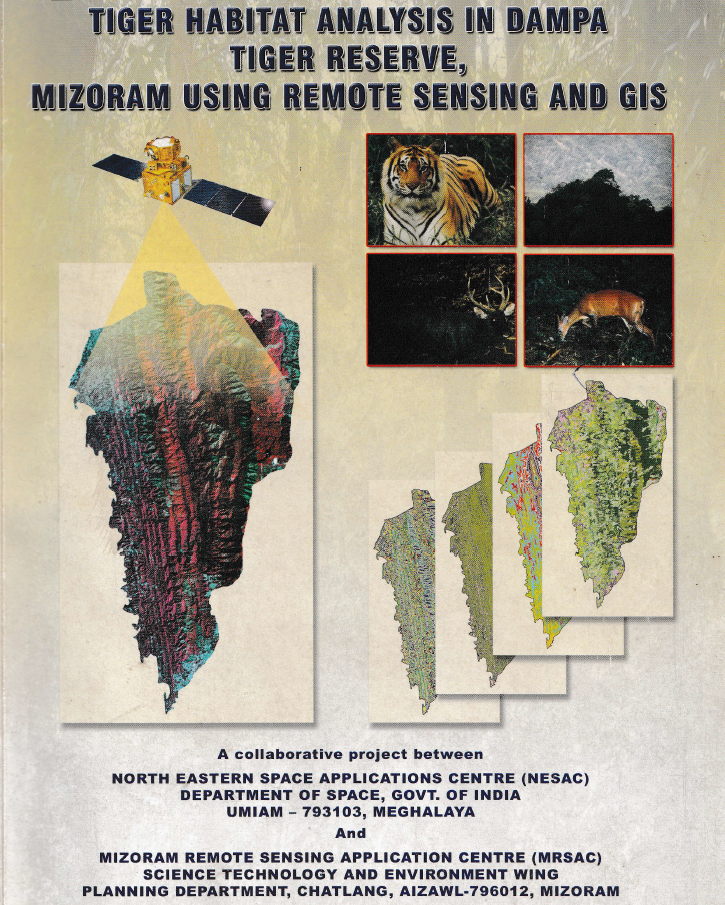
Tiger Habitat Analysis in Dampa Tiger Reserve, Mizoram using Remote Sensing and GIS
Abstract / Description
The project “Tiger Habitat Analysis in Dampa Tiger Reserve, Mizoram using Remote Sensing and GIS” was undertaken to evaluate the condition, change and suitability of tiger habitat within Dampa Tiger Reserve and its adjoining landscape, and to support scientific conservation and management planning. The study aimed to inventory vegetation types, forest density and water bodies; detect habitat changes between 1978 and 2005; characterize preferred tiger habitat; identify potential habitat and corridors outside the reserve; and develop a digital GIS database for long-term monitoring and management.
A multi-temporal remote sensing approach was adopted using Landsat MSS (1978), Landsat TM (1989), IRS-1D LISS-III (1999), IRS-1D PAN (2003) and IRS-P6 LISS-III (2005) imagery, supplemented by reserve boundaries, socio-economic information on surrounding villages and field observations. Vegetation type, forest density, slope, aspect, elevation, proximity to water and tiger pug-mark locations were integrated through GIS-based spatial modelling to derive habitat-suitability classes. Tiger pug marks were treated as indicators of habitat use, and areas associated with higher pug-mark occurrence were interpreted as relatively more suitable habitat.
The most significant result was the substantial alteration of forest structure over the 27-year assessment period. Closed evergreen/semi-evergreen forest declined from 36.62% of the reserve in 1978 to 22.88% in 2005, representing a 37.52% reduction. In contrast, bamboo increased by 192.89%, scrub forest by 74.67%, and built-up land by 590%, although the latter remained small in absolute extent. Abandoned jhum declined by 51.52%, while current jhum showed an overall decline of 35.41% between 1978 and 2005 after initially increasing during 1978–1989. The study concludes that much of the original closed forest was replaced by bamboo, scrub and shifting-cultivation landscapes, resulting in increasing fragmentation of tiger habitat.
Habitat analysis indicated that closed evergreen/semi-evergreen forests with forest density above 40% were most favourable for tiger use. Areas within 500 m of major rivers were considered highly suitable, while 500–2,000 m distances were moderately suitable. Pug-mark analysis further suggested a strong avoidance of human disturbance: tigers maintained distances of approximately 20 km from the northern inhabited buffer and 25 km from the eastern inhabited buffer, compared with about 10 km from the less-disturbed southern buffer.
The surrounding buffer also showed considerable anthropogenic pressure, with current jhum occupying 24.45%, scrub forest 16.32%, abandoned jhum 14.26%, and bamboo 13.14% of the analyzed 5,192.01 ha buffer landscape. Overall, the study identified habitat degradation and shifting cultivation rather than poaching as major constraints on tiger population recovery. The resulting habitat-suitability maps, change-detection products and GIS database provide a valuable scientific basis for habitat restoration, corridor protection, buffer-zone management, monitoring of forest degradation and long-term conservation planning in Dampa Tiger Reserve.
Summarized Metadata
Mapping Scale: 1:50,000
Satellite data & Year: Landsat MSS (1978), Landsat TM (1989), IRS 1D LISS III (1999), IRS 1D PAN (2003), IRS P6 LISS-III (2005).
Thematic sub-category: Forestry & Environment
Collaborating/Funding Agency: North Eastern Space Applications Centre (NESAC) & Environment & Forest Department, Government of Mizoram.
Report Publication Month/Year: October, 2008