Access Options
Member Only Content
Please log in to view availability or download this document.
| Published | May 20, 2011 |
|---|---|
| Type | Atlas |
| Thematic Category | Geosciences & Disaster Management |
| Project | Disaster Management System |
Atlas of Flood Prone areas of Mizoram
Abstract / Description
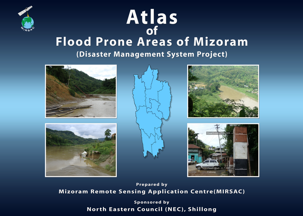
The “Atlas of Flood Prone Areas of Mizoram” was prepared by the Mizoram Remote Sensing Application Centre (MIRSAC), Science & Technology, Planning Department, Government of Mizoram, as a component of the broader Disaster Management System (DMS) Project, funded by the North Eastern Council (NEC), Shillong. The study was undertaken to systematically identify and spatially delineate areas susceptible to flooding across Mizoram and to provide a scientific geospatial database for disaster preparedness, mitigation and development planning. Although large-scale riverine flooding is relatively limited in Mizoram because of its predominantly mountainous terrain, downstream valleys and low-lying utilisable lands are periodically affected during the monsoon, with intense rainfall and flash floods causing damage to agricultural land, crops, infrastructure and, occasionally, human life.
The flood-prone area assessment employed IRS LISS-III satellite imagery, Survey of India topographic maps and ancillary datasets, integrated through Remote Sensing and Geographic Information System (GIS) techniques. Flood hazard zonation was undertaken at 1:50,000 scale, with the resulting maps incorporating drainage networks, perennial and non-perennial streams, settlements and different categories of roads to provide an administratively useful spatial context. The Atlas contains statewide and district-wise flood-hazard maps covering all eight districts existing at the time of the study.
The statewide analysis covered Mizoram's 21,087 sq. km geographical area and identified approximately 89.84 sq. km of river regime, within which 37.25 sq. km was classified as flood-prone. Thus, while mapped flood-prone areas constitute only about 0.18% of the State's geographical area, they represent a substantially larger proportion of the limited valley and riverine environments where human activities and cultivable land are concentrated. District-level results reveal considerable spatial variation. Lunglei recorded the largest mapped flood-prone area at 11.00 sq. km, followed by Lawngtlai with 8.20 sq. km, Mamit with 6.35 sq. km and Champhai with 4.49 sq. km. Smaller mapped extents occurred in Serchhip (1.92 sq. km), Kolasib (1.77 sq. km), Aizawl (1.77 sq. km) and Saiha (1.75 sq. km).
The Atlas demonstrates that flood risk in Mizoram is spatially localized rather than geographically extensive, being concentrated principally along lower river valleys and areas influenced by catchment characteristics such as drainage configuration, slope, land condition and rainfall intensity. The resulting flood-hazard maps and GIS database provide an important baseline for Disaster Management Plans, flood-mitigation measures, infrastructure planning, agricultural planning, emergency preparedness and identification of vulnerable settlements and assets, while also providing a framework for future updating using higher-resolution satellite, terrain and hydrometeorological datasets.
Summarized Metadata
Mapping Scale: 1:50,000
Satellite data & Year: IRS P6 LISS III, LISS IV, Cartosat I & Quickbird
Thematic sub-category: Disaster Management; Flood
Collaborating/Funding Agency: North Eastern Council, Shillong
Atlas Publication Month/Year: May, 2011