Project Information
| Code | MIRSAC-PRJ-35 |
|---|---|
| Category | Geosciences & Disaster Management |
| Time Period | March 2010 |
| Funding Agency | North Eastern Council (NEC), Shillong |
Disaster Management System
Disaster management
Hazard Zonation
Landslide
Earthquake
Flood
Cyclone
Wind
Micro level
Disaster
Project Description
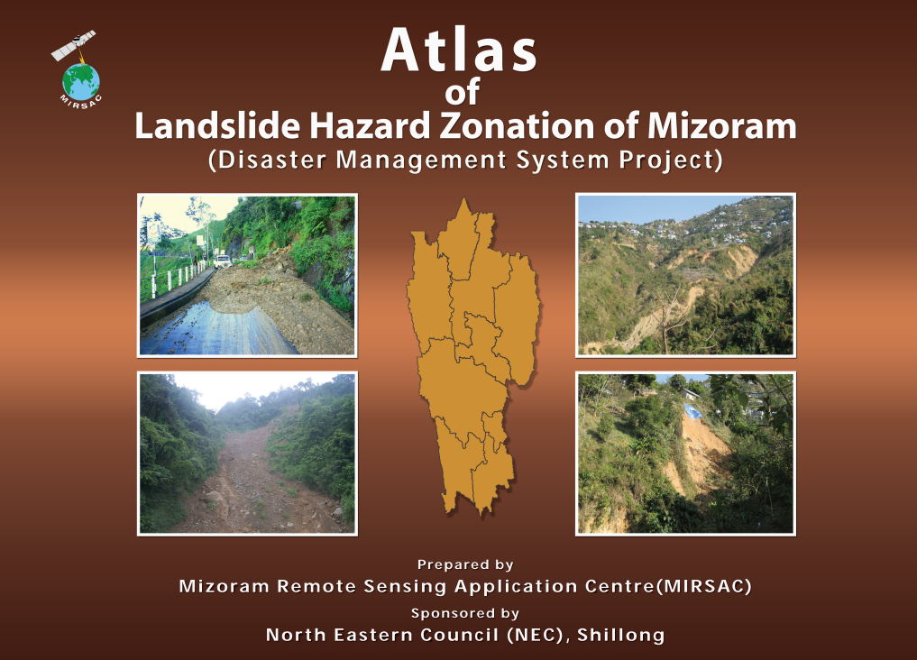
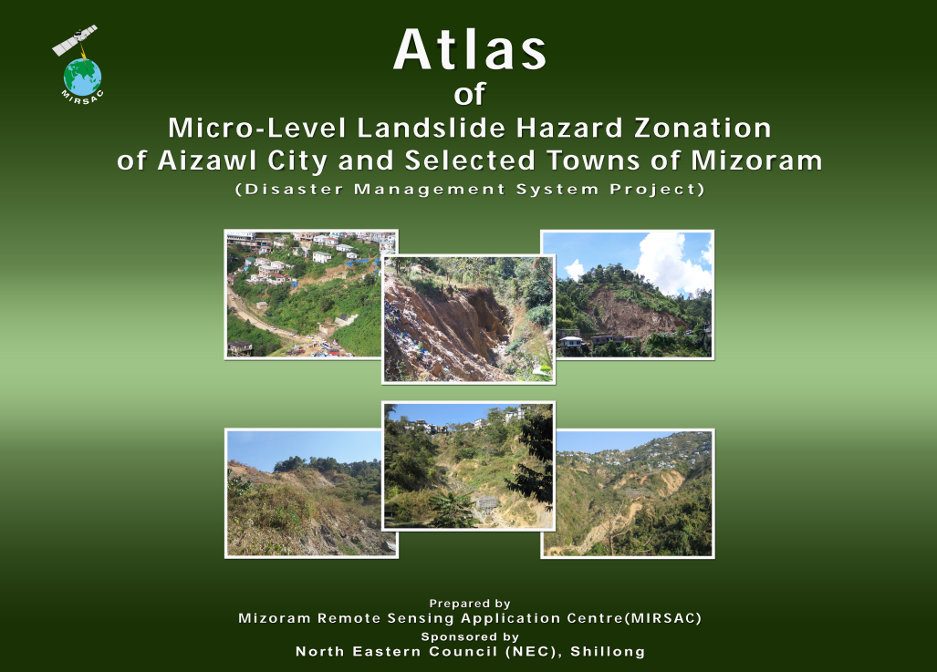
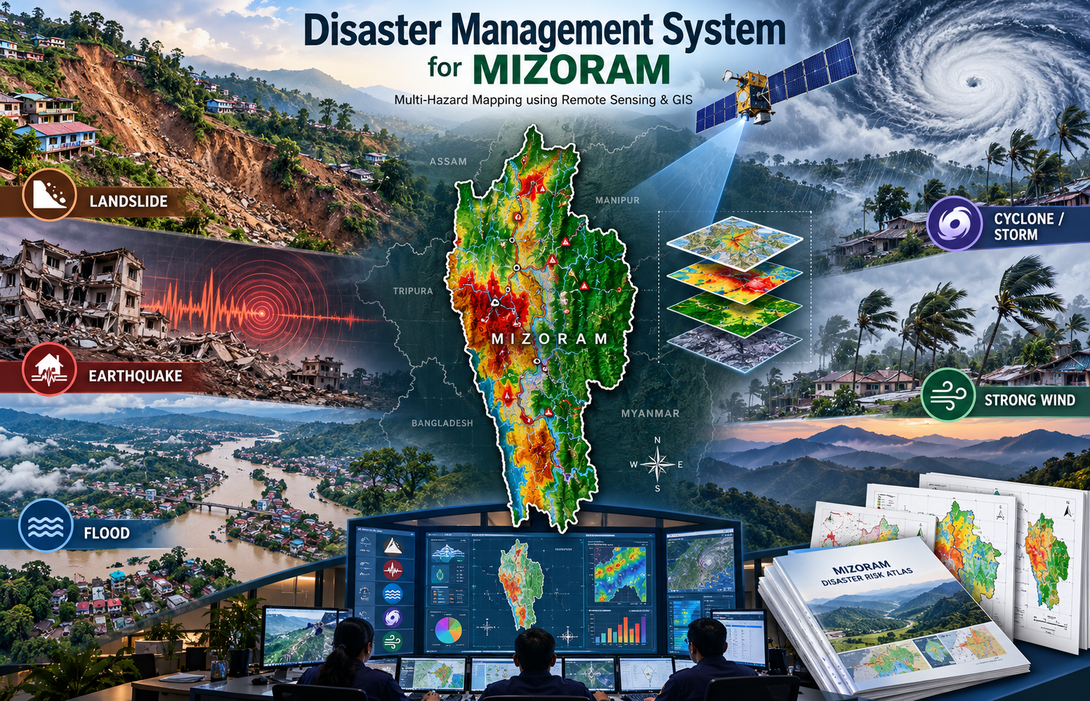
The Disaster Management System (DMS) Project for Mizoram was undertaken as a comprehensive geospatial initiative to identify, map and spatially analyse the major natural hazards affecting the State, namely landslides, earthquakes, floods, wind and cyclones. The project was implemented by the Mizoram Remote Sensing Application Centre (MIRSAC), Science & Technology, Planning Department, Government of Mizoram, with financial support from the North Eastern Council (NEC), Shillong. The project was designed to strengthen disaster preparedness and mitigation by providing scientifically derived hazard information in a standardized spatial format for use by planners, administrators and emergency-management agencies.
The project extensively employed Satellite Remote Sensing, Geographic Information System (GIS), digital cartography and spatial analysis. State-wide hazard mapping for flood, earthquake, wind and cyclone, as well as broader landslide assessments, was carried out primarily at 1:50,000 scale. For landslide-prone urban areas, more detailed mapping was undertaken at 1:5,000 scale for Aizawl City and ten other selected towns, enabling finer assessment of hazard conditions in densely inhabited and infrastructure-sensitive locations. For the flood component, IRS LISS-III satellite data, Survey of India topographic maps and ancillary information were used to delineate hazard-prone areas and associated base data like drainage, settlement and transport features.
A major outcome was the preparation of five thematic hazard atlases, each representing one of the targeted natural hazards. These map products were further integrated into a dedicated Disaster Management System/Hub, designed to enable users to view hazard maps, associated statistics and spatial information through a common platform.
The resulting atlases, GIS layers and system database provide an important decision-support resource for State and district administrations, disaster-management authorities, infrastructure planners, engineers, researchers and development departments. They can support hazard-aware development planning, identification of vulnerable areas, emergency preparedness, prioritization of mitigation measures and future updating of disaster-risk information across Mizoram.
Summarize Metadata
Mapping Scale: 1:50,000 (District level) & 1:5000 (Micro-level for Aizawl & 10 selected towns)
Satellite data & Year: IRS P6 LISS III, LISS IV, Cartosat I & Quickbird
Study area: Districts of Mizoram, Aizawl city, Towns: Kolasib, Mamit, Saitual, Khawzawl, Champhai, Serchhip, Lunglei, Hnahthial, Lawngtlai & Saiha.
Collaborating/Funding Agency: North Eastern Council, Shillong
No. of Atlas(s) published: 5
Project Period: 2010-2011
Related Publications
5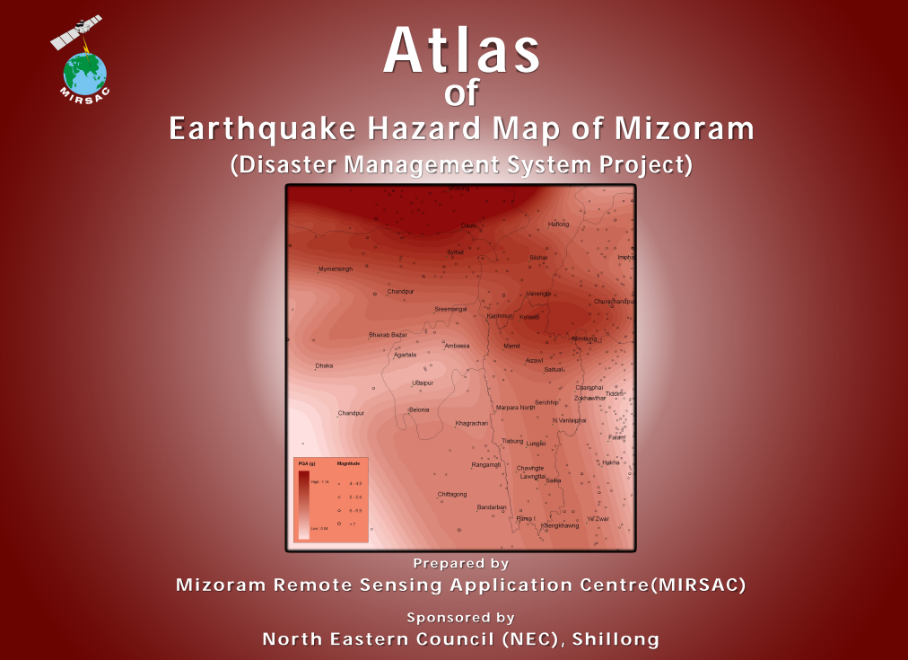
Atlas of Earthquake Hazard Map of Mizoram
Sep 2011 Atlas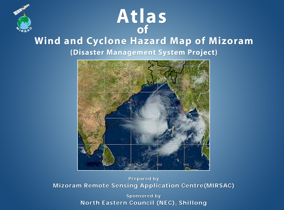
Atlas of Wind & Cyclone Hazard Map of Mizoram
Sep 2011 Atlas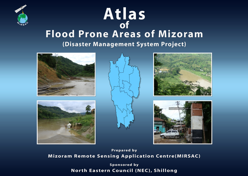
Atlas of Flood Prone areas of Mizoram
May 2011 Atlas