Access Options
Member Only Content
Please log in to view availability or download this document.
| Published | May 20, 2011 |
|---|---|
| Type | Atlas |
| Thematic Category | Geosciences & Disaster Management |
| Project | Disaster Management System |
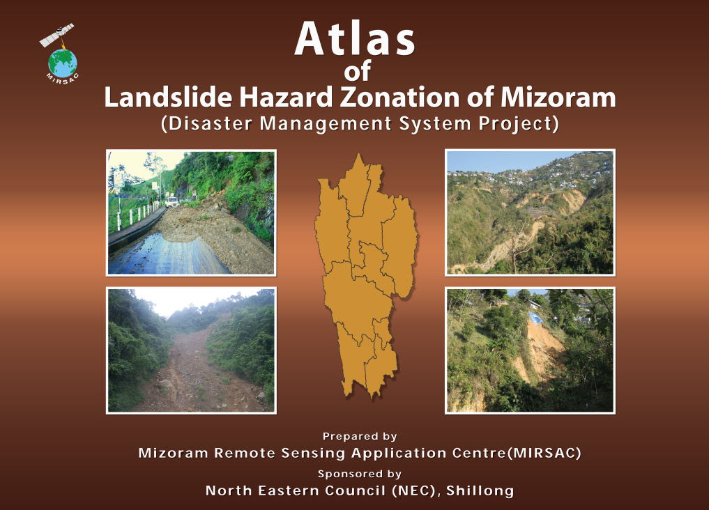
Atlas of Landslide Hazard Zonation of Mizoram
Abstract / Description
The “Atlas of Landslide Hazard Zonation of Mizoram” was prepared by the Mizoram Remote Sensing Application Centre (MIRSAC), Science & Technology, Planning Department, Government of Mizoram, as a major component of the Disaster Management System (DMS) Project, funded by the North Eastern Council (NEC), Shillong. The study was undertaken to systematically identify, classify and spatially delineate landslide-prone areas across Mizoram and to provide a scientific geospatial basis for disaster preparedness, mitigation and development planning. Landslides constitute one of the State’s most significant geo-environmental hazards because of its steep slopes, high relief, immature topography, neo-tectonic activity, intense rainfall and increasing anthropogenic disturbance. Their impacts include loss of life and property, disruption of communication networks and considerable economic burden on society and government.
The assessment employed Satellite Remote Sensing and Geographic Information System (GIS) techniques using IRS LISS-III satellite imagery, Survey of India topographic maps and associated ancillary information. Landslide Hazard Zonation was carried out at 1:50,000 scale for the entire State, covering all eight districts existing during the period of the study. The resulting maps integrated hazard classes with settlements, water bodies and road networks, thereby enabling interpretation of landslide susceptibility in relation to populated areas and critical transport infrastructure.
The statewide zonation classified Mizoram’s 21,087 sq. km geographical area into five landslide-hazard categories. Very High hazard zones cover 1,823 sq. km (8.65%), while High hazard areas occupy 4,265 sq. km (20.22%). Together, these two critical classes account for approximately 6,088 sq. km, or 28.87% of the State, indicating that nearly three-tenths of Mizoram lies within relatively severe landslide-hazard conditions. The largest category is the Moderate hazard zone, covering 8,906 sq. km (42.24%). Low hazard areas account for 5,013 sq. km (23.77%), while only 969 sq. km (4.60%) falls within the Very Low hazard category; water bodies constitute the remaining 112 sq. km (0.53%).
The analysis demonstrates that landslide susceptibility is widespread across Mizoram rather than being restricted to isolated localities, reflecting the State’s inherently fragile hill terrain. The predominance of Moderate to Very High hazard classes emphasizes the importance of incorporating landslide susceptibility into road construction, settlement expansion, infrastructure development, slope modification and land-use planning. The Atlas therefore provides an important baseline for State and District Disaster Management Plans, identification of vulnerable zones, prioritization of mitigation measures, infrastructure siting and emergency preparedness. Its GIS-compatible hazard database also establishes a foundation for future updating using higher-resolution satellite imagery, improved terrain models, field inventories and contemporary geospatial analysis.
Summarized Metadata
Mapping Scale: 1:50,000
Satellite data & Year: IRS P6 LISS III, LISS IV, Cartosat I & Quickbird
Thematic sub-category: Disaster Management; Landslide
Collaborating/Funding Agency: North Eastern Council, Shillong
Atlas Publication Month/Year: May, 2011