Access Options
Member Only Content
Please log in to view availability or download this document.
| Published | May 20, 2011 |
|---|---|
| Type | Atlas |
| Thematic Category | Geosciences & Disaster Management |
| Project | Disaster Management System |
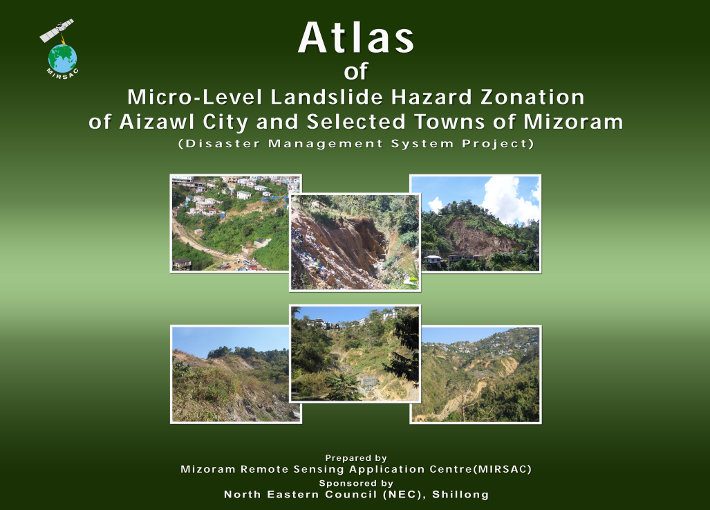
Atlas of Micro-Level Landslide Hazard Zonation of Aizawl City & Selected towns in Mizoram
Abstract / Description
The “Atlas of Micro-Level Landslide Hazard Zonation of Aizawl City & Selected Towns of Mizoram” was prepared by the Mizoram Remote Sensing Application Centre (MIRSAC), Science & Technology, Planning Department, Government of Mizoram, as an important component of the Disaster Management System (DMS) Project, funded by the North Eastern Council (NEC), Shillong. The study addressed landslides as one of Mizoram’s major geo-environmental hazards, responsible for recurrent loss of life and property, disruption of communication networks and significant economic impacts. Its principal objective was to generate detailed, urban-scale landslide hazard information for areas where dense settlement, road construction and infrastructure development interact closely with steep and geologically fragile hill slopes.
Unlike the statewide landslide zonation undertaken at 1:50,000 scale, this Atlas adopted a micro-level mapping scale of 1:5,000 for Aizawl City and ten selected towns—Kolasib, Mamit, Saitual, Khawzawl, Champhai, Serchhip, Hnahthial, Lunglei, Lawngtlai and Saiha. High-resolution spatial datasets including Cartosat-I stereo imagery with 2.5 m resolution, QuickBird imagery with 0.6 m resolution, Survey of India topographic maps and ancillary information were used to derive and integrate the detailed terrain and surface characteristics required for hazard assessment.
The mapping classified urban and peri-urban terrain into Very High, High, Moderate, Low and Very Low landslide-hazard zones. In Aizawl City, covering 155.20 sq. km, the Moderate category was dominant at 68.59 sq. km (44.19%), while High and Very High zones together occupied 34.26 sq. km or 22.07%. Low and Very Low classes represented 27.82% and 5.80%, respectively. Considerable variation was observed among the selected towns. Serchhip Town showed a particularly high proportion of Moderate hazard terrain at 65.10%, with another 17.75% falling in High and Very High classes. Lawngtlai Town recorded 67.18% Moderate hazard and 16.68% High-to-Very High hazard, whereas Saiha Town had a comparatively lower combined High and Very High proportion of about 9.59%. Champhai was notable for recording no Very High hazard zone, with much of its mapped area falling within Moderate, Low and Very Low categories.
Overall, the Atlas demonstrated the value of high-resolution Remote Sensing and GIS-based micro-zonation for urban disaster-risk reduction. The resulting maps provide critical decision-support information for urban planning, building and infrastructure siting, road alignment, slope stabilization, emergency preparedness and regulation of development in landslide-prone areas. By resolving hazard conditions at a much finer spatial scale than statewide mapping, the Atlas established an important baseline for safer urban expansion and future landslide-risk monitoring in Mizoram.
Summarized Metadata
Mapping Scale: 1:5,000
Satellite data & Year: Cartosat I & Quickbird
Thematic sub-category: Disaster Management; Landslide
Collaborating/Funding Agency: North Eastern Council, Shillong
Atlas Publication Month/Year: May, 2011