
Urban sprawl study of Aizawl city
The Urban Sprawl Study of Aizawl City represents a pivotal collaboration between the North Eastern Space Applications Centre (NESAC), Department of Sp...

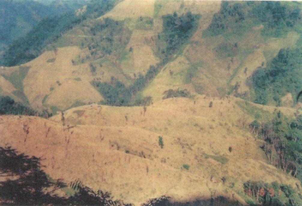
Wastelands of Mizoram
The “Wastelands of Mizoram” project was undertaken as part of a nationwide initiative of the Department of Space, Government of India, coordinated thr...
Wasteland Mapping of Mizoram
The Wasteland Mapping Project (Phase V) is a nationwide remote sensing initiative undertaken during 1997–1999 under the aegis of the National Remote S...

Land Use / Land Cover Mapping of Mizoram
The Land Use / Land Cover (LULC) mapping of Mizoram was undertaken to generate a systematic and spatially consistent assessment of land use patterns a...