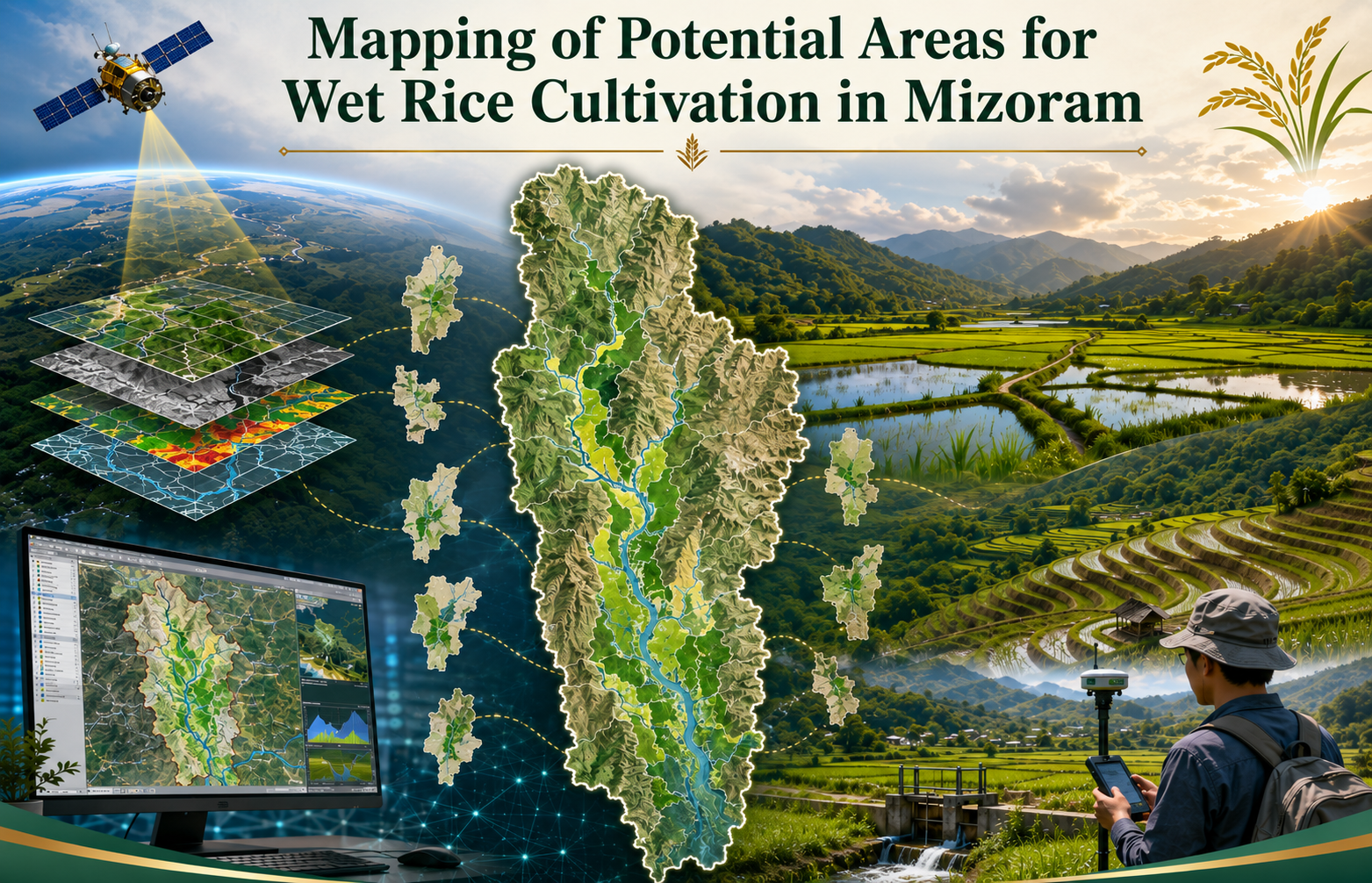
Mapping of Potential areas for Wet Rice Cultivation in Mizoram
The Mapping of Potential Areas for Wet Rice Cultivation in Mizoram using Remote Sensing and GIS was undertaken as an in-house project by the Mizoram Remote Sensing Application Centre (MRSAC) under the Science & Technology, Planning Department, Government of Mizoram, and completed in 2008. The study was initiated to address the limited availability of level and gently sloping land suitable for wet rice cultivation in Mizoram’s predominantly mountainous terrain and to provide reliable spatial information for strengthening food-production planning. The project covered the entire State of Mizoram and examined all eight districts. Its main objective was to identify, delineate and digitally map potential wet rice cultivation areas, together with supporting thematic information on slope and land use/land cover. The study used IRS-1D LISS-III satellite imagery with 23.5-metre spatial resolution, Survey of India topographic sheets at 1:50,000 scale, ancillary records and field observations. Image processing and interpretation were carried out using ERDAS Imagine, while spatial integration, analysis and map preparation were undertaken through ARC/INFO GIS. Field verification, handheld GPS observations and local information from Village Councils were used to validate doubtful or inaccessible locations. The outputs were designed primarily for the Agriculture Department, Minor Irrigation Department, district planning authorities and other development agencies involved in land development, irrigation and agricultural infrastructure. The district-wise and statewide maps provide a common scientific reference for identifying priority valleys, river plains and foothill areas where wet rice cultivation and irrigation development may be feasible. The report and digital database are useful for planning new irrigation schemes, improving existing wet rice areas, assessing accessibility and infrastructure requirements, prioritizing field investigations and preparing area-specific agricultural programmes. They also provide a baseline for future updating with higher-resolution satellite data. Overall, the project demonstrates how Remote Sensing, GIS and ground verification can support more objective, efficient and location-specific planning for enhancing rice production and improving food security in Mizoram. Summarize Metadata Mapping Scale: 1:50,000 Satellite data & Year: IRS 1D – LISS III (2006) Study area: Mizoram Collaborating/Funding Agency: Mizoram Remote Sensing Application Centre No. of Report(s) published: 1 Project Period: 2007 – 2008
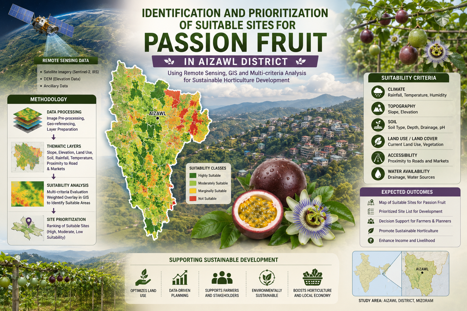
Identification and prioritization of suitable sites for passion fruit using Remote Sensing and GIS technique in Aizawl district, Mizoram state
The Identification and Prioritization of Suitable Sites for Passion Fruit using Remote Sensing and GIS Techniques in Aizawl District, Mizoram State was a pilot project under the Technology Mission on the Integrated Development of Horticulture in North Eastern States (including Sikkim), funded by the Ministry of Agriculture, Government of India, and completed in March 2003. It involved key collaboration among Space Applications Centre (SAC)-ISRO, Ahmedabad; Mizoram State Remote Sensing Centre (MSRSC), Aizawl; and Mizoram State Department of Horticulture, Aizawl, pooling expertise in agro-ecology, geospatial analysis, and local horticulture extension. The project harnessed IRS LISS-III (23 m) and IRS WIFS (188 m) satellite data, processed via digital classification/visual interpretation. Ancillary inputs included SOI topographical sheets, village/road/drainage/soil maps, Census data, and ground truth. GIS (ArcInfo) integrated terrain parameters such as elevation, slope, aspect were used for enabling jhum delineation, crop suitability indexing, prioritization, and village-level mapping/statistics. The main objective was to map current jhum (shifting cultivation) areas and prioritize sites within them for passion fruit expansion, transitioning unsustainable slash-and-burn practices to viable horticulture amid jhum's dominance (~6–8% annual area in pilot circles). Aizawl district exemplifies NER's horticulture potential (e.g., mandarin orange/passion fruit/banana dominant), yet faces jhum degradation, low settled cultivation (24.4% culturable), and export needs. The study targets the passionfruit production boost in the horticulture circles, promoting year-round fruiting complementarity for processing/juice markets. The project outputs include village atlases, suitability maps, terrain databases, statistics which offer transformative geospatial intelligence for city/town planning. They guide land-use zoning in jhum hotspots, incentivize farmer transitions, integrate with Technology Mission schemes (orchard expansion/afforestation), and optimize infrastructure (roads/water to clusters). Planners can leverage for sustainable diversification, reducing erosion/soil loss, boosting rural incomes, ensuring nutritional security, and aligning with eco-friendly settled systems in the fragile hills. Summarize Metadata Mapping Scale: 1:50,000 Satellite data & Year: IRS LISS III & WIFS (2002) Study area: Aizawl district Collaborating/Funding Agency: Ministry of Agriculture, Government of India No. of Reports published: 1 Project Period: 2002 – 2003
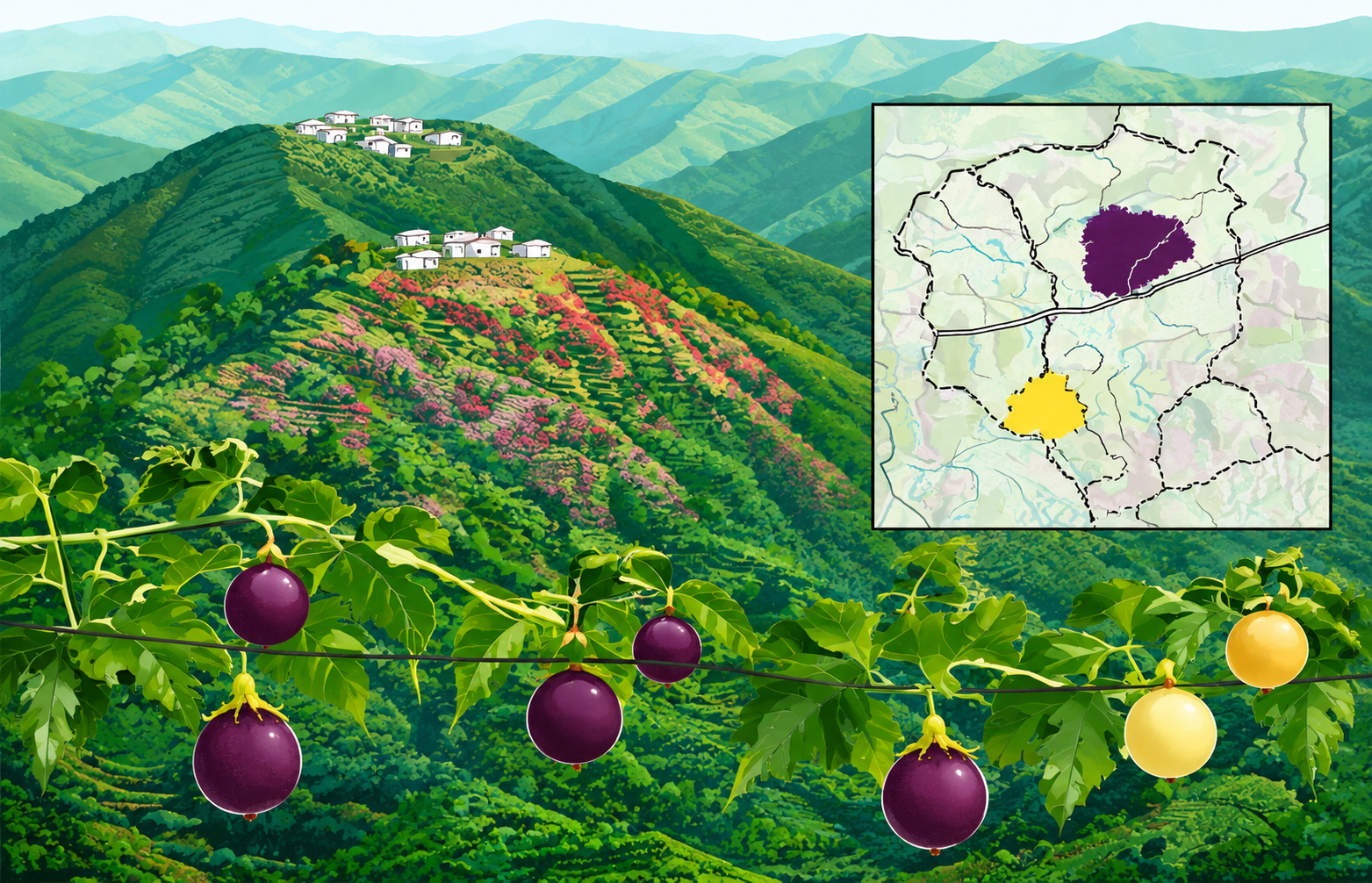
Village level passion fruit site suitability maps of Champhai and Kolasib horticultural circles, Mizoram state
The “Village Level Passion Fruit Site Suitability Maps of Champhai and Kolasib Horticultural Circles, Mizoram State” project is a collaborative effort under the Technology Mission for Integrated Development of Horticulture in North Eastern States, funded by the Ministry of Agriculture, Government of India. It brings together the Space Applications Centre (ISRO), Mizoram State Remote Sensing Centre, and the Mizoram State Department of Horticulture, combining national remote sensing expertise with state-level GIS capabilities and field-based horticultural knowledge. The project’s core objective is to translate earlier passion fruit suitability analysis into operational village-level maps that clearly show where purple and yellow passion fruit orchards can be expanded within existing jhum (shifting cultivation) areas in Champhai and Kolasib circles. Building on prior work that identified suitable jhum patches using a passion fruit site suitability index, this report prepares detailed village maps and categorizes sites into Priority I and Priority II to guide phased orchard expansion under the Technology Mission. Technologically, the study relies on Indian Remote Sensing (IRS) satellite data, mainly IRS-1D LISS-III multispectral imagery, combined with digital elevation models and GIS-based spatial analysis. Village and settlement boundaries, road networks, drainage and soil maps are integrated with remote-sensing-derived current jhum layers to generate fine-scale suitability maps. The passion fruit suitability index uses key terrain parameters (elevation, slope, aspect) and agronomic requirements, while ancillary factors such as cluster size and proximity to roads, settlements and water sources are used for prioritization. The study area - Champhai and Kolasib horticultural circles within Mizoram’s hilly, high-rainfall landscape is of high strategic importance for horticulture-based livelihood diversification. Champhai already supports extensive purple passion fruit orchards and is envisaged as a major passion fruit belt, whereas Kolasib’s lower elevation and gentle slopes make it promising for yellow passion fruit, whose fruiting season complements the purple variety and supports year-round supply. The outputs including village-level maps for each settlement showing Priority I and II sites, backed by tabulated village statistics, provide practical tools not only for horticulture planning but also for broader city and town planning. Planners can use these geospatial products to- align road improvements and market infrastructure with high-potential orchard clusters; integrate horticulture zones into land-use plans; support jhum-to-orchard transition in peri-urban and rural belts; and identify areas where water supply, processing units or storage facilities will have maximum impact. By linking remotely sensed data with village boundaries and accessibility networks, the project delivers an actionable spatial decision support base that helps Mizoram move toward economically viable, ecologically sustainable, and spatially coherent horticulture and urban–rural development. Summarize Metadata Mapping Scale: 1:50,000 Satellite data & Year: IRS LISS III & WIFS (2002) Study area: Champhai & Kolasib Horticulture Circles Collaborating/Funding Agency: Ministry of Agriculture, Government of India; Space Applications Centre (SAC), Ahmedabad; Department of Horticulture, Govt. of Mizoram No. of Reports published: 1 Project Period: 2002 – 2003