
Environmental Studies of Aizawl City
The project "Environmental Studies of Aizawl City Using Remote Sensing and GIS", undertaken by the Mizoram State Remote Sensing Centre (MSRSC), was de...
Wasteland Mapping of Mizoram
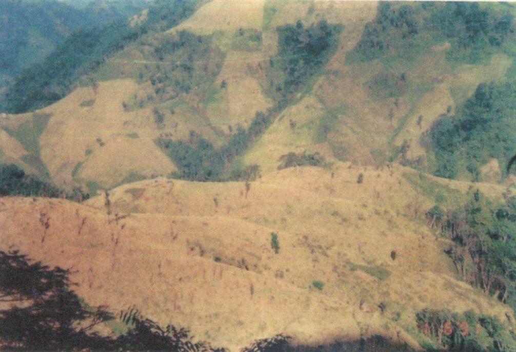
The Wasteland Mapping Project (Phase V) is a nationwide remote sensing initiative undertaken during 1997–1999 under the aegis of the National Remote S...
Integrated Mission for Sustainable Development (IMSD)
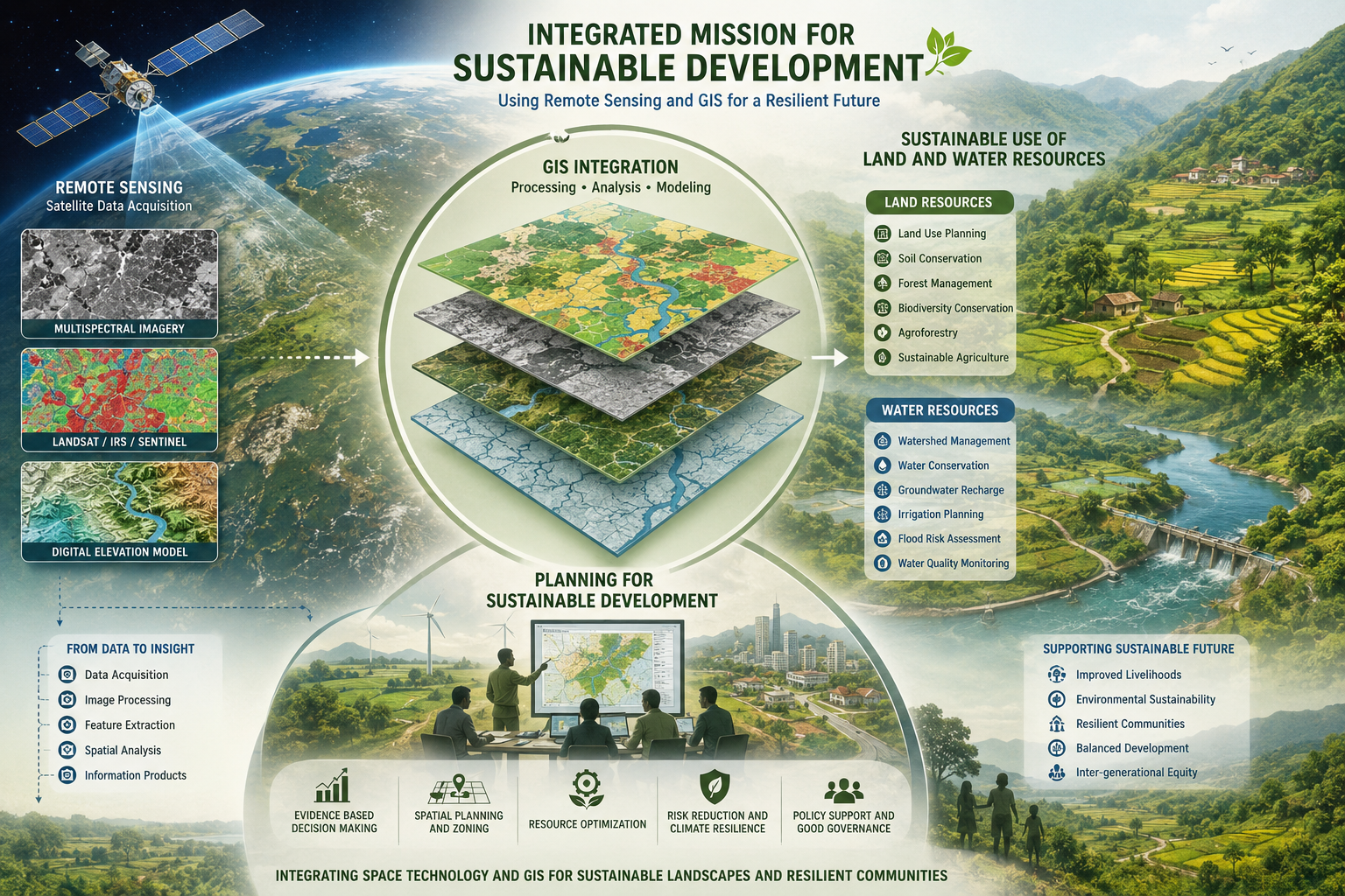
The Integrated Mission for Sustainable Development (IMSD) is a nation-wide remote-sensing application initiative launched under the Department of Spac...
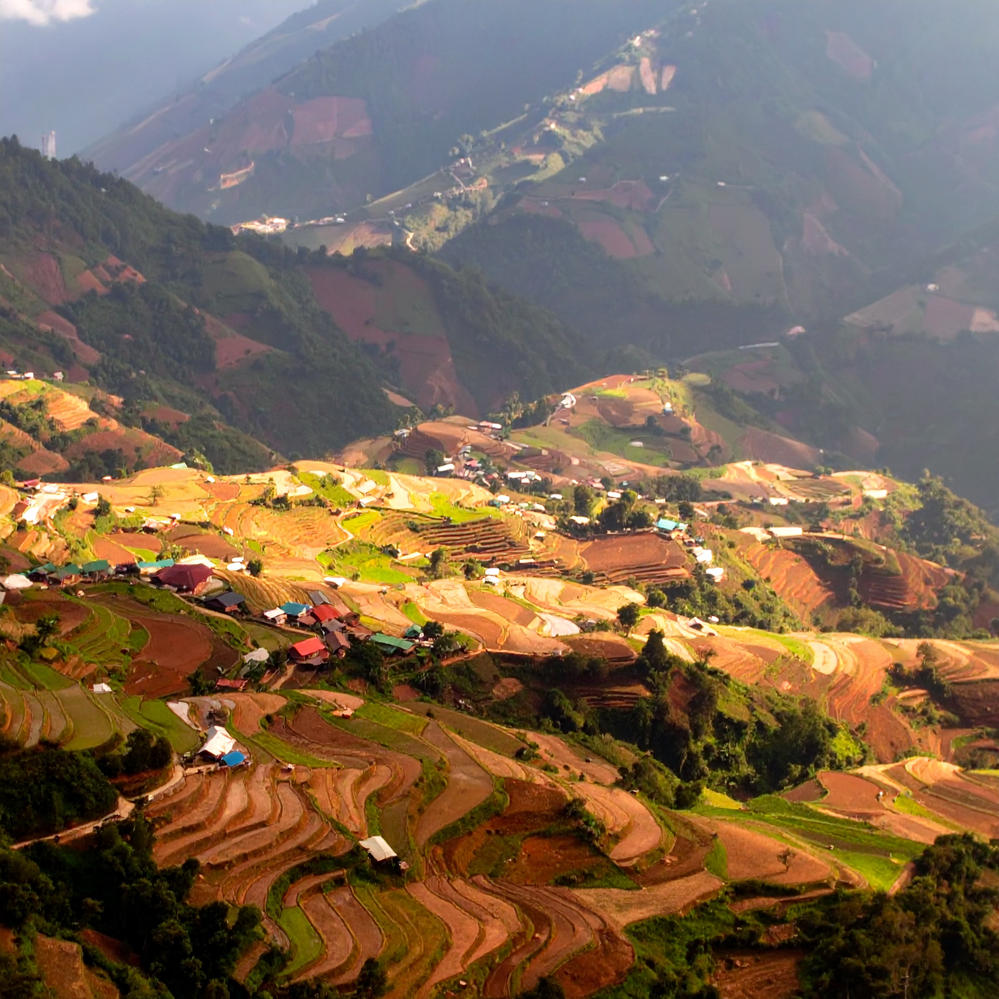
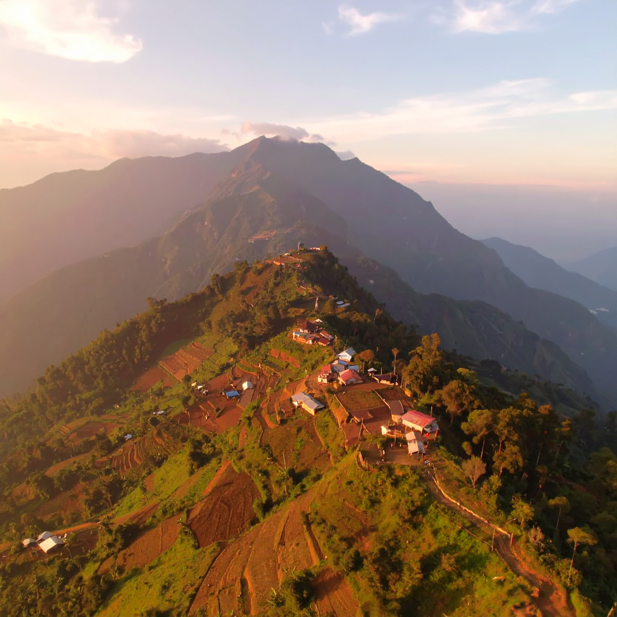
Studies on Dynamics of Shifting Cultivation using Satellite Remote Sensing Techniques
The project constitutes a two part in-house investigation by the Mizoram Remote Sensing & Space Application Centre (MSRSC) designed to evaluate the ca...
Land Use / Land Cover Mapping of Mizoram
The Land Use / Land Cover (LULC) mapping of Mizoram was undertaken to generate a systematic and spatially consistent assessment of land use patterns a...