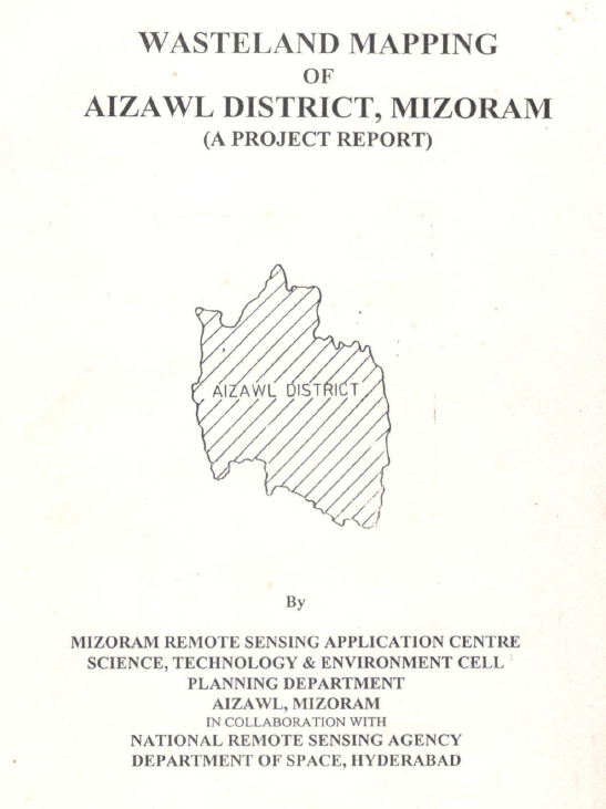
Wasteland Mapping of Aizawl District, Mizoram
The Wasteland Mapping Project for Aizawl district was undertaken as part of the nationwide Phase V programme initiated by the National Remote Sensing ...
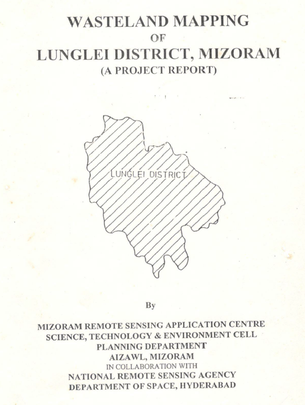
Wasteland Mapping of Lunglei District, Mizoram
The Wasteland Mapping Project for Lunglei district was undertaken as part of the nationwide Phase V programme initiated by the National Remote Sensing...
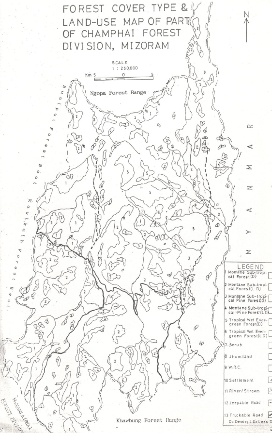
Studies on dynamics of Shifting Cultivation and its influence on forest ecosystem by Satellite Remote Sensing techniques
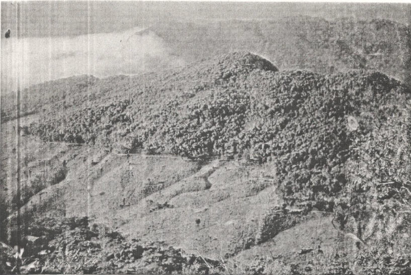
The project report authored by Dr.R.K.Lallianthanga, MSRSC investigates the spatial and temporal dynamics of shifting cultivation (jhum) and its ecolo...
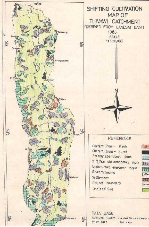
Analysis of Shifting Cultivation dynamics using Remote Sensing techniques & Status Report on Flora and Fauna of Tuivawl Catchment, Aizawl District, Mizoram.
The report authored by Pu Lalnunsiama Colney, MSRSC produced under the in-house initiative “Study of Shifting Cultivation Dynamics using Satellite Rem...
Land Use / Land Cover of Aizawl District, Mizoram
The Land Use / Land Cover (LULC) mapping of Aizawl district was undertaken to generate a systematic and spatially consistent assessment of land use pa...