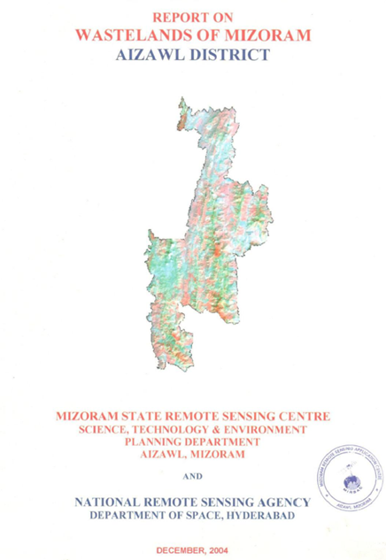
Wastelands of Mizoram - Aizawl district
The “Report on Wastelands of Mizoram – Aizawl District” was prepared under the National Wastelands Atlas Updation Programme, coordinated by the Nation...
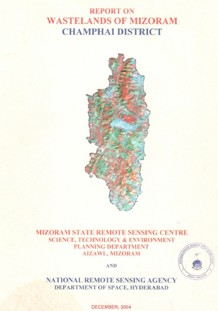
Wastelands of Mizoram - Champhai district
The Wasteland Mapping of Champhai District, Mizoram was undertaken by the Mizoram State Remote Sensing Centre (MSRSC) under the National Wasteland Map...
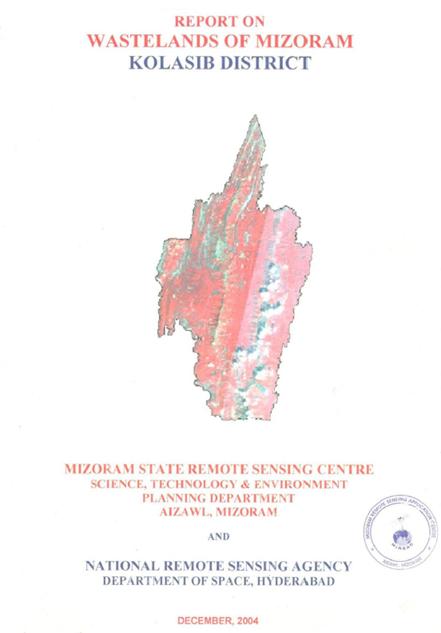
Wastelands of Mizoram - Kolasib district
The Wasteland Mapping of Kolasib District, Mizoram was carried out by the Mizoram State Remote Sensing Centre (MSRSC) under the National Wasteland Map...
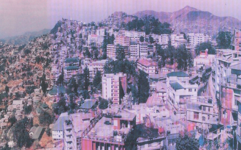
Urban sprawl study of Aizawl city
The Urban Sprawl Study of Aizawl City was undertaken by the North Eastern Space Applications Centre (NESAC), Department of Space, Government of India,...
Wasteland Mapping of Chhimtuipui district, Mizoram
The Wasteland Mapping for Chhimtuipui district was carried out under the national Phase V programme initiated by the National Remote Sensing Agency (N...