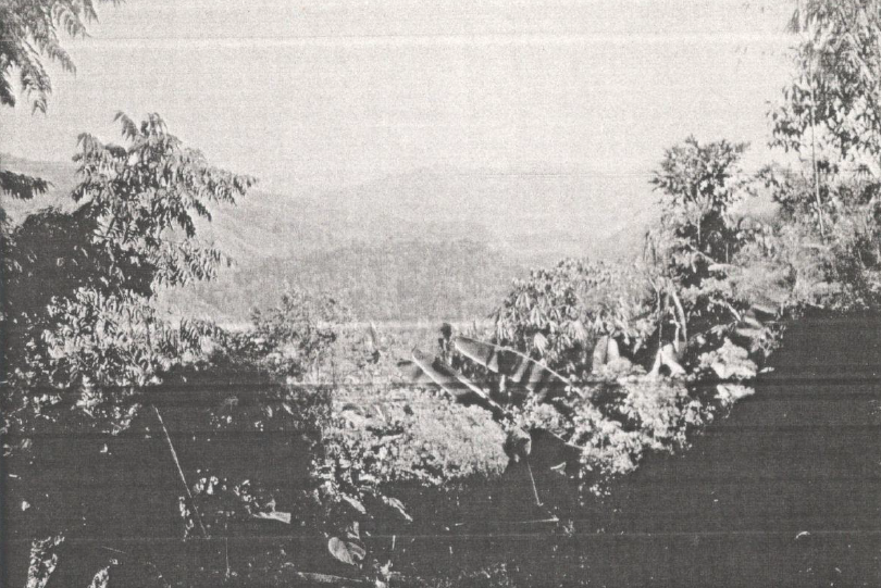
Land Use / Land Cover of Lunglei and Chhimtuipui Districts, Mizoram
The Land Use / Land Cover assessment for the two southern study districts, namely - Lunglei and Chhimtuipui, provides a concise, map-based inventory of prevailing land cover types and their spatial distribution using remote sensing and GIS techniques. The project’s primary aim was to classify and map major land use categories within these district boundaries to produce a reliable geospatial baseline for district planning, resource management, and environmental monitoring. Satellite imagery formed the principal data source, interpreted and processed to create thematic LULC maps, area statistics, and GIS-ready datasets suitable for integration with infrastructure and hazard layers. Summarized abstract of Land Use/Land Cover in the study districts:In Lunglei district, built-up land is 1,750 ha (0.38%), agricultural land is 127 ha (0.03%), and forest land is 430,218.5 ha (94.81%). In Chhimtuipui district, built-up land is 1,062.5 ha (0.27%), agricultural land is 3,187.5 ha (0.80%), and forest land is 358,237.5 ha (90.51%). Summarized MetadataMapping Scale: 1:250,000Satellite data & Year: Landsat TM, 1989Thematic categories: Land Use, Land Cover Collaborating/Funding Agency: National Remote Sensing Centre (NRSC), HyderabadReport Publication Month/Year: March, 1990