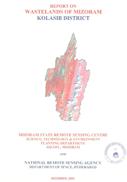
Wastelands of Mizoram - Kolasib district
The Wasteland Mapping of Kolasib District, Mizoram was carried out by the Mizoram State Remote Sensing Centre (MSRSC) under the National Wasteland Map...
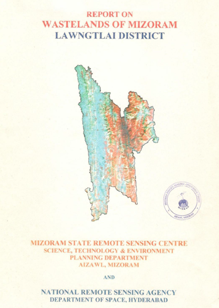
Wastelands of Mizoram - Lawngtlai district
The “Report on Wastelands of Mizoram – Lawngtlai District” was prepared under the National Wastelands Atlas Updation Programme coordinated by the Nati...
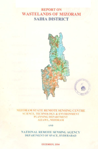
Wastelands of Mizoram – Saiha District
The Report on Wastelands of Mizoram – Saiha District was prepared under the initiative of National Wasteland Atlas Updation Programme, a nationwide re...
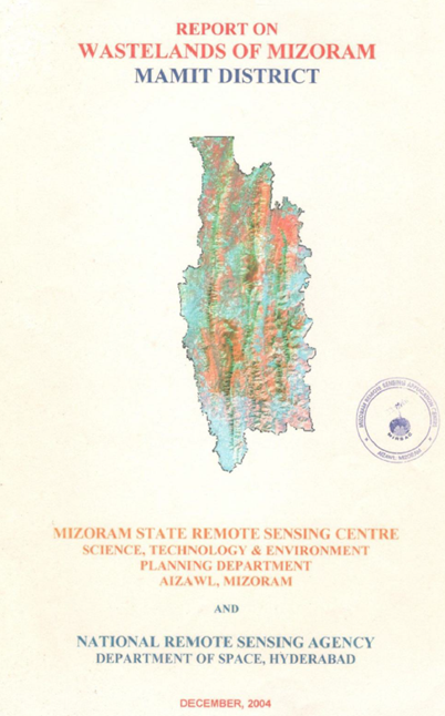
Wastelands on Mizoram - Mamit district
The “Report on Wastelands of Mizoram – Mamit District” was prepared under the national Wastelands Atlas Updation Programme coordinated by the National...
Wastelands of Mizoram - Lunglei district
The “Report on Wastelands of Mizoram – Lunglei District” was prepared under the National Wastelands Atlas Updation Programme, a nationwide initiative ...