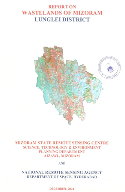
Wastelands of Mizoram - Lunglei district
The “Report on Wastelands of Mizoram – Lunglei District” was prepared under the National Wastelands Atlas Updation Programme, a nationwide initiative ...
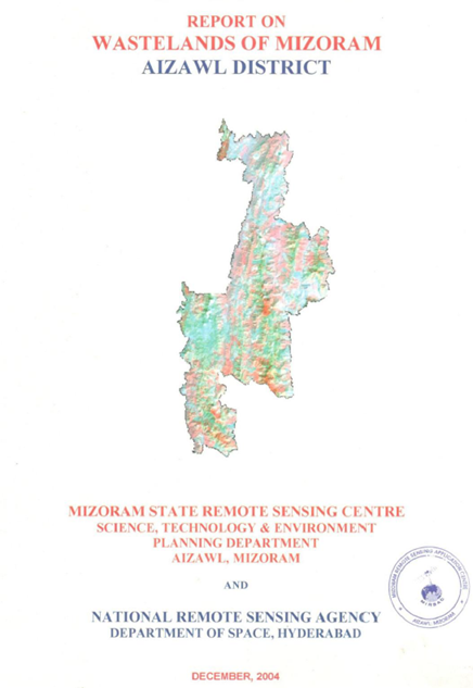
Wastelands of Mizoram - Aizawl district
The “Report on Wastelands of Mizoram – Aizawl District” was prepared under the National Wastelands Atlas Updation Programme, coordinated by the Nation...
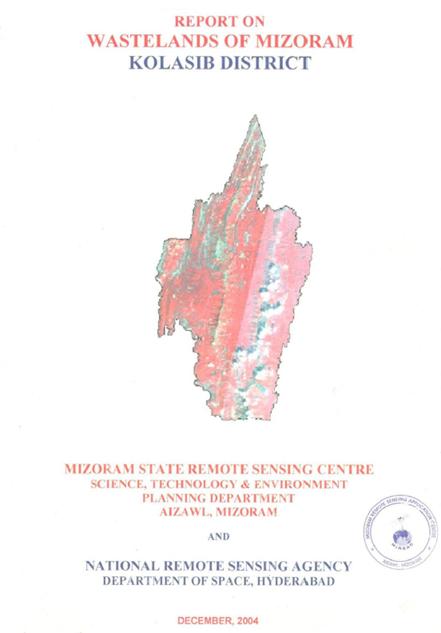
Wastelands of Mizoram - Kolasib district
The Wasteland Mapping of Kolasib District, Mizoram was carried out by the Mizoram State Remote Sensing Centre (MSRSC) under the National Wasteland Map...
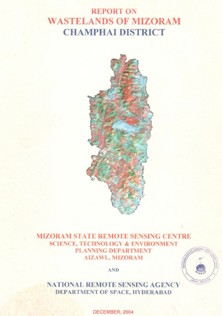
Wastelands of Mizoram - Champhai district
The Wasteland Mapping of Champhai District, Mizoram was undertaken by the Mizoram State Remote Sensing Centre (MSRSC) under the National Wasteland Map...
Vulnerability analysis of cyclone in Mizoram
The Vulnerability Analysis of Cyclone in Mizoram State was executed by the State Remote Sensing Centre (SRSC), Science, Technology & Environment W...