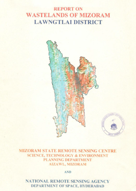
Wastelands of Mizoram - Lawngtlai district
The “Report on Wastelands of Mizoram – Lawngtlai District” was prepared under the National Wastelands Atlas Updation Programme coordinated by the National Remote Sensing Agency (NRSA), Department of Space, Government of India, and implemented in Mizoram by the Mizoram State Remote Sensing Application Centre (MSRSC). The project was undertaken to update the inventory of wastelands using satellite remote sensing and GIS technologies, assess temporal changes in land degradation, and generate a scientifically reliable database to support land reclamation, natural resource management, and sustainable development planning. The study forms part of a state-wide effort to monitor the changing status of degraded lands and evaluate the impacts of prevailing land-use practices on the fragile hill ecosystems of Mizoram.The study covers the entire Lawngtlai District, situated in the southern part of Mizoram between Bangladesh and Myanmar, with a total geographical area of approximately 1,991.19 sq. km, representing about 9.44% of the geographical area of the state. The district is characterized by rugged hill terrain, extensive forest cover, high rainfall conditions, and a predominantly rural population dependent on land-based livelihoods. The region receives an average annual rainfall of approximately 2,558 mm, creating favorable conditions for vegetation growth while simultaneously accelerating erosion processes in disturbed landscapes.The primary objective of the project was to identify, classify, and quantify various wasteland categories and to evaluate changes that had occurred between the previous wasteland assessment of 1995 and the updated mapping undertaken in 2003. Satellite imagery from the Indian Remote Sensing (IRS) programme was interpreted to delineate wasteland categories and assess their spatial distribution at watershed and district levels. Particular emphasis was placed on land degradation associated with current shifting cultivation (current jhum), abandoned shifting cultivation areas, degraded forest lands, and jhum cultivation occurring within notified forest areas, which are among the most significant drivers of environmental change in the district.The findings indicate that shifting cultivation remains the dominant land-use practice and the principal contributor to wasteland formation in Lawngtlai District. The study highlights how repeated clearing of forest vegetation and shortening of fallow cycles have transformed large tracts of primary forest into secondary vegetation and degraded landscapes. These changes have resulted in increased soil erosion, nutrient depletion, sedimentation of rivers, and reduced ecological productivity. The assessment reveals that the total wasteland area increased from approximately 377.73 sq. km (18.97%) in 1995 to about 563.79 sq. km (22.05%) in 2003, representing an increase of roughly 3.08% of the district’s geographical area over the study period. The most significant increase was observed in specific watershed regions where expansion of shifting cultivation and forest clearance were particularly pronounced.The report also documents the occurrence of current jhum cultivation within notified forest areas, indicating continued pressure on forest resources and highlighting the need for improved land-use management. At the same time, the study notes localized examples where degraded lands have been successfully converted to horticultural and agricultural uses, demonstrating the potential for productive reclamation when appropriate interventions are applied.Overall, the project provides an important geospatial baseline for understanding land degradation trends in Lawngtlai District. The findings offer valuable insights for planners, policymakers, and development agencies by identifying priority areas for ecological restoration, watershed management, afforestation, agroforestry, and sustainable agricultural development. The study further demonstrates the effectiveness of remote sensing and GIS technologies in monitoring landscape change and supporting evidence-based planning for sustainable land resource management in Mizoram.Summarized MetadataMapping Scale: 1:50,000Satellite data & Year: IRS 1D LISS III, February 2003Thematic sub-category: Wasteland, Spatial Planning Collaborating/Funding Agency: National Remote Sensing Centre (NRSC), HyderabadReport Publication Month/Year: December, 2004
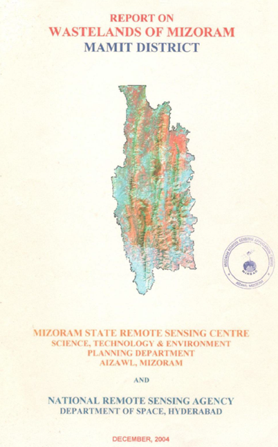
Wastelands on Mizoram - Mamit district
The “Report on Wastelands of Mizoram – Mamit District” was prepared under the national Wastelands Atlas Updation Programme coordinated by the National Remote Sensing Agency (NRSA), Department of Space, Government of India, with implementation in Mizoram by the Mizoram State Remote Sensing Centre (MSRSC). The project aimed to update and refine the spatial inventory of wastelands in Mamit District through the application of satellite remote sensing and GIS techniques, thereby providing a scientific basis for land resource planning, reclamation, and sustainable development. The study forms part of a broader state-wide initiative to assess land degradation patterns and monitor changes in wasteland distribution over time.The study covers the entire Mamit District, located in the north-western part of Mizoram and encompassing a geographical area of approximately 3,025.75 sq. km, accounting for about 14.35% of the total geographical area of the state. Characterized by rugged hill terrain, high rainfall conditions, and extensive forest cover, the district presents a dynamic landscape where land-use practices, particularly shifting cultivation, play a significant role in influencing land degradation processes. The district receives an average annual rainfall of approximately 2,635 mm, creating favorable conditions for vegetation growth while simultaneously increasing susceptibility to soil erosion in disturbed areas.The principal objective of the project was to identify, classify, and quantify wasteland categories using satellite-derived information and to evaluate changes in wasteland extent since earlier mapping exercises. The study generated district-level and watershed-level statistics and examined the spatial distribution of degraded lands to identify areas requiring priority intervention. Particular emphasis was placed on wasteland categories associated with current shifting cultivation (jhum), young abandoned jhum lands, and degraded forest areas, which represent the dominant forms of land degradation within the district.The analysis indicates that wastelands occupy approximately 22.76% of the total district area, highlighting the substantial influence of shifting cultivation and associated land-use transitions on the landscape. Watershed-level assessment revealed significant spatial variation in wasteland occurrence, with certain watersheds exhibiting considerably higher concentrations of degraded lands than others. The study identifies shifting cultivation as the primary driver of land degradation, particularly where shortened fallow cycles limit natural vegetation recovery and reduce soil productivity.A notable observation of the study is the strong relationship between wasteland distribution and traditional land-use practices. Areas under current and recently abandoned jhum cultivation constitute a major proportion of the mapped wastelands, while degraded forest patches reflect cumulative pressures arising from repeated clearing and resource extraction. The report also notes the prevalence of secondary bamboo-dominated vegetation in abandoned jhum areas and highlights ongoing plantation activities in parts of the district as indicators of land restoration efforts.Overall, the project provides an updated geospatial database and analytical framework for understanding land degradation in Mamit District. The findings serve as an important resource for planners, policymakers, and development agencies by identifying priority areas for reclamation, afforestation, agroforestry, watershed management, and sustainable land-use interventions aimed at improving ecological stability and long-term land productivity.Summarized MetadataMapping Scale: 1:50,000Satellite data & Year: IRS 1D LISS III, February 2003Thematic sub-category: Wasteland, Spatial Planning Collaborating/Funding Agency: National Remote Sensing Centre (NRSC), HyderabadReport Publication Month/Year: December, 2004
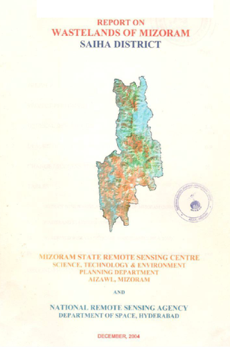
Wastelands of Mizoram – Saiha District
The Report on Wastelands of Mizoram – Saiha District was prepared under the initiative of National Wasteland Atlas Updation Programme, a nationwide remote sensing collaborative work coordinated by the Land Use Division of the National Remote Sensing Agency (NRSA), Department of Space, Government of India. The project was implemented in Mizoram by the Mizoram State Remote Sensing Centre (MSRSC) with the objective of updating the spatial inventory of wastelands, assessing changes in wasteland extent since the previous mapping cycle, and generating a reliable geospatial database to support land reclamation, resource management, and sustainable development planning.The study covers the entire Saiha District, located in the southernmost part of Mizoram, encompassing a geographical area of 1,965.81 sq. km, representing approximately 9.32% of the total area of Mizoram. At the time of the study, the district had a population of 61,056 with a literacy rate of 82.2%, indicating increasing developmental pressure on a landscape characterized by rugged hills, steep slopes, and extensive forest cover. The district also receives an average annual rainfall of approximately 2,625 mm, placing it within a high-rainfall ecological zone where land-use practices significantly influence soil stability and watershed health.The primary objective of the project was to identify, classify, and quantify wasteland categories using satellite remote sensing and GIS techniques, while also documenting changes that had occurred between successive mapping periods. The study generated district-level and watershed-level statistics on wasteland distribution and analyzed trends in land degradation and land-use transitions. Particular emphasis was placed on identifying wasteland categories associated with shifting cultivation practices, abandoned jhum areas, and degraded forest lands, which constitute the dominant forms of land degradation in the hill ecosystems of Mizoram.The findings indicate that wasteland formation in Saiha District is closely linked to traditional shifting cultivation systems and the shortening of fallow cycles. Large areas of current and abandoned jhum lands were observed across the district, reflecting the continuing dependence of rural communities on shifting cultivation. The study also highlights the occurrence of degraded forest areas where repeated disturbance has reduced vegetation quality and ecological productivity. These degraded landscapes are particularly vulnerable to soil erosion, nutrient depletion, and loss of biodiversity due to the district’s steep terrain and high rainfall regime. The watershed-based analysis further provides an understanding of how wasteland distribution varies spatially and identifies areas where degradation pressures are most pronounced.Beyond mapping and quantification, the report emphasizes the importance of reclamation and sustainable management of degraded lands. The updated wasteland database and associated change analysis provide a valuable baseline for planners and decision-makers to prioritize restoration interventions, improve land productivity, and promote environmentally sustainable land-use practices. The project demonstrates the effectiveness of satellite remote sensing in monitoring land degradation and offers a scientific foundation for future programmes focused on afforestation, agroforestry, watershed management, and sustainable rural development in Saiha District. Summarized MetadataMapping Scale: 1:50,000Satellite data & Year: IRS 1D LISS III, February 2003Thematic sub-category: Wasteland, Spatial Planning Collaborating/Funding Agency: National Remote Sensing Centre (NRSC), HyderabadReport Publication Month/Year: December, 2004
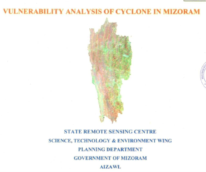
Vulnerability analysis of cyclone in Mizoram
The Vulnerability Analysis of Cyclone in Mizoram State was executed by the State Remote Sensing Centre (SRSC), Science, Technology & Environment Wing, Planning Department, Government of Mizoram, Aizawl. Stemming from a Hazard Mapping meeting on April 13, 2004, chaired by the Secretary, Relief & Rehabilitation, the project was funded by the Relief & Rehabilitation Department., Government of Mizoram.Covering Mizoram (21,087 sq km) strategically bordered by Bangladesh (west) and Myanmar (east/south), featuring NNW-SSE trending ridges with humid tropical climate (250–350 cm annual rainfall and temparatures ranging from 11–31°C, the study analyzed cyclone impacts using 20-year records (1985–2004) from eight districts (Mamit, Kolasib, Aizawl, Champhai, Serchhip, Lunglei, Lawngtlai, Saiha) and 2001 Census data.The methodology integrated IRS LISS-III FCC visual interpretation, SOI topographical maps for physiographic parameters (location: ridge/hill-top/slope/valley; aspect: N/NE/E/SE/S/SW/W/NW; altitude: 0–500/501–1,000/>1,001 m), and ArcInfo GIS for vulnerability zoning: low (0–3 events), medium (4–6), high (≥7). Of 828 villages/towns/wards, 450 (54.4%) were low vulnerability, 243 (29.3%) medium, and 135 (16.3%) high.District-wise observation and analysis showed that Saiha topped high vulnerability (23/77 wards; 29.87%), followed by Lunglei (52/185; 28.11%), Lawngtlai (16/139; 11.51%), Champhai (12/85; 14.12%), Aizawl (15/160; 9.38%), Kolasib (11/52; 21.15%), Mamit (4/87; 4.6%), Serchhip (2/43; 4.65%). Locationally, ridge/hill-tops dominated high vulnerability (e.g., 82.69% in Lunglei; 93.33% in Aizawl), vs. slopes (20.17% overall) and valleys (18.24%). Altitude-wise, high vulnerability peaked at 501–1,000 m (56/135; 41.5%) and >1,001 m (45; 33.3%). Aspect vulnerabilities varied throughout the locations e.g., NW highest in Lunglei (23.07%), E in Kolasib (54.55%). Cyclones (post/pre-monsoon tails from Bay of Bengal; est. Saffir-Simpson scale 2–3: 43–58 m/s) caused house/powerline/road/crop/livestock damage, exacerbated by Assam-type/thatched/tin-roof structures on exposed saddles/ridges.The project produced thematic maps, tables (village/ward/district/aspect/altitude-wise), and a cyclone database, marking SRSC's first disaster management effort. Outputs enable risk-based planning: prioritize retrofitting high-vulnerability ridge-tops (>501 m), enforce cyclone-resistant designs (sloping roofs at 33:10, J-bolts/anchors/bracing/bands, leeward sites, windbreaks like tree belts), avoid saddles/protrusions, and integrate into mitigation cycles (preparedness/response/recovery).Recommendations from the project outputs emphasize wind-loading standards, RCC slabs, reinforced walls/frames, minimal projections, and firm foundations against torrential rains, fostering resilient infrastructure amid Mizoram's frequent moderate cyclones.Summarized MetadataMapping Scale: 1:50,000Satellite data & Year: IRS LISS III (2003)Thematic sub-category: Disaster managementCollaborating/Funding Agency: Relief & Rehabilitation Department, Govt. of MizoramReport Publication Month/Year: December, 2004

Urban sprawl study of Aizawl city
The Urban Sprawl Study of Aizawl City was undertaken by the North Eastern Space Applications Centre (NESAC), Department of Space, Government of India, Umiam, Meghalaya, in collaboration with Mizoram Remote Sensing Application Centre (MIRSAC), Aizawl, and completed in October 2004.The primary objective was to analyze temporal urban expansion (1975–2003), map land use/land cover, assess growth patterns against the Aizawl Master Plan (2002), and identify site suitability zones for future planned development amid topographic constraints (steep slopes 20°–40°+, elevation 950–1155 m, young sedimentary terrain). Covering 128.98 sq km (23°39'–24°50'N, 92°39'–92°47'E), the study employed visual/digital interpretation of multi-temporal satellite data: Landsat MSS (1981), IRS-1C LISS-III/PAN merged (1998, 2002), and Resourcesat-1 LISS-III (2003), registered to 1:25,000 scale topographic sheets (84A/9–14) with ground truth verification.Built-up area expanded from 649.53 ha (1975) to 2,051.55 ha (2003): +667.27 ha (1975–1981; +102.77%), +615.52 ha (1981–1998; +31.85%), +119.23 ha (1998–2003; +5.8%). Growth trended ribbon-like along NH-54, state highways (north, south, east, west directions), incorporating fringes like Durtlang Leitan, Vaivakawn, Tanhril; population surged from 31,740 (1971) to 235,138 (2001), outpacing areal growth and indicating vertical intensification. Dominant land covers include built-up (urban/rural residential/mixed), agriculture (permanent crops, current/abandoned jhum), forest (evergreen/deciduous/bamboo), wasteland (scrub/barren/degraded/quarry), water bodies (streams/springs, e.g., Chite River).GIS database integrated spatial (DEM-derived slope, transport, water bodies) and non-spatial data (ward-wise census 1981–2001, household surveys on amenities: 70% spring-dependent water, variable school/medical access).Site suitability zoned via weighted overlay (slope <20°/elev. <400 m prioritized; road buffer <200 m; wasteland proximity; water <50 m): Zone I (highly suitable: low slope/elev., near roads/water/wasteland), Zone II (moderately: 20°–40°/400–800 m), Zone III (unfavorable: >40°/>800 m). Suggests decongesting core via fringe development, aligning partially with Master Plan but revising northern high-slope areas for water scarcity/erosion risks.Findings envisages to aid planners in mitigating congestion, water scarcity, erosion; emphasize road-aligned, low-slope growth with infrastructure (vertical limits, springs harnessing) for sustainable expansion.Summarized MetadataMapping Scale: 1:25,000Satellite data & Year: Landsat MSS (1981), IRS-1C (1998-2022), Resourcesat-1 (2003)Thematic sub-category: Land Resources (Urban)Collaborating/Funding Agency: North Eastern Space Applications Centre (NESAC), UmiamReport Publication Month/Year: October, 2004