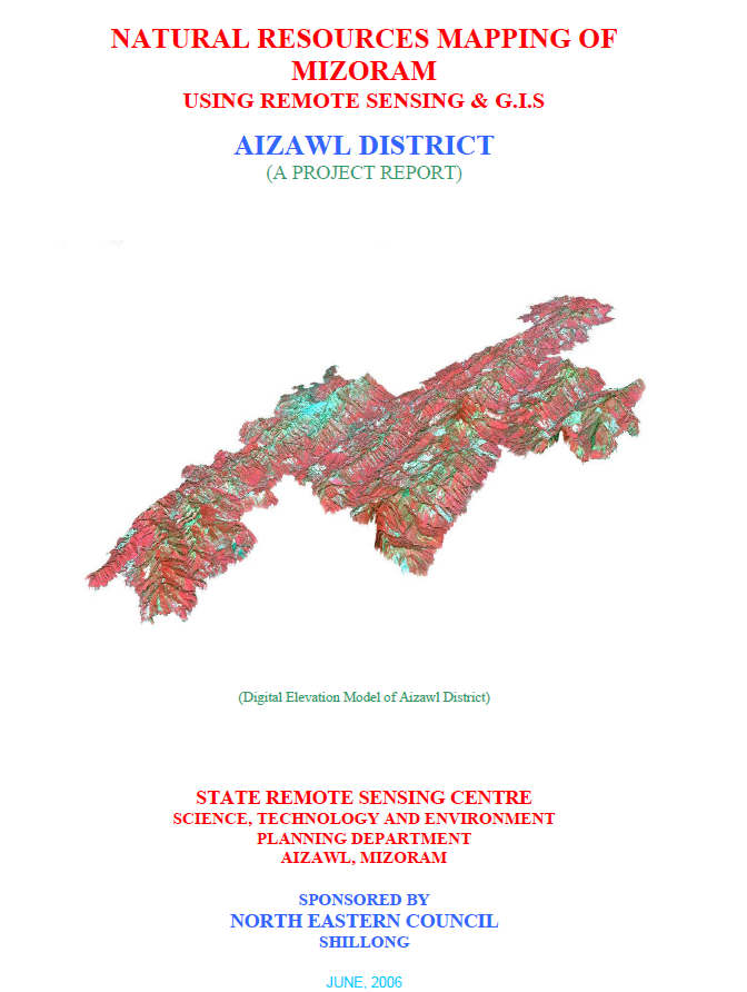
Natural Resources Mapping of Aizawl District using Remote Sensing and GIS
The Natural Resources Mapping of Aizawl District using Remote Sensing and GIS was undertaken by the Mizoram State Remote Sensing Centre (MSRSC), Science, Technology & Environment Wing, Planning Department, Government of Mizoram, under the Natural Resources Mapping of Mizoram programme sponsored by the North Eastern Council (NEC), Shillong. As part of a state-wide initiative implemented in a phased manner, the project aimed to establish a comprehensive geospatial database of Aizawl District using Remote Sensing (RS), Geographic Information System (GIS), GPS surveys, and field investigations. The study was designed to provide scientifically validated information for sustainable management of land, water, forests, and other natural resources while supporting evidence-based planning across multiple development sectors.The study covers the entire Aizawl District, encompassing a geographical area of approximately 3,576.31 sq. km, representing one of the largest administrative districts in Mizoram. Multi-source datasets, including IRS-1D LISS-III and Panchromatic satellite imagery, Survey of India topographic maps, geological information, meteorological records, and detailed field observations, were integrated within a GIS environment to prepare thematic maps on land use/land cover, geology, geomorphology, drainage, watersheds, groundwater potential, slope, aspect, soils, settlements, and transport networks. The integration of these datasets enabled comprehensive assessment of the district's natural resource potential and constraints.The investigation reveals that Aizawl District is characterized by rugged north-south trending hill ranges, steep slopes, and deeply dissected river valleys, making terrain one of the dominant factors influencing land use and development. Forests continue to be the principal land cover, with bamboo forests occupying the largest proportion of the district, followed by medium and dense forests, highlighting the district's rich biodiversity and ecological significance. However, the study also identifies current and abandoned shifting cultivation (jhum) as important landscape components, reflecting the continued dependence of rural communities on traditional agricultural practices. Expansion of horticultural plantations and permanent agricultural land in suitable valleys and gentle slopes indicates a gradual transition towards more sustainable land-use systems.Groundwater assessment shows that the district possesses localized zones of moderate groundwater potential, primarily associated with fractured sandstone formations and valley fills, while much of the hilly terrain exhibits limited groundwater availability due to steep slopes and rapid surface runoff. Soil investigations reveal predominantly acidic hill soils with moderate organic carbon content but varying fertility and erosion susceptibility depending on terrain conditions. The study also delineates watershed boundaries and evaluates drainage characteristics, providing a scientific basis for watershed development, rainwater harvesting, and integrated water resource management.A major outcome of the project is the development of a district-level natural resources information, integrating multiple thematic layers into a GIS platform for spatial analysis and planning. Based on the resource assessment, the report recommends watershed management, soil and water conservation, afforestation, agroforestry, horticultural expansion, groundwater development, and land capability-based planning to promote sustainable utilization of natural resources while minimizing environmental degradation.Overall, the project demonstrates the value of integrating Remote Sensing, GIS, GPS, and field-based investigations for comprehensive natural resource assessment in mountainous regions. The thematic maps, digital databases, and resource development plans generated under the study provide an important reference for government agencies, planners, researchers, and development organizations engaged in sustainable environmental management and regional planning. By establishing a standardized geospatial database, the project continues to serve as a valuable foundation for natural resource conservation, infrastructure planning, watershed development, and future geospatial studies in Aizawl District.Summarized MetadataMapping Scale: 1:50,000Satellite data & Year: IRS 1D PAN & LISS III (2003 & 2004) – Digital & Photo printThematic sub-category: Land Use/Land Cover, Geology, Water resource, Climate, Action Plan Collaborating/Funding Agency: North Eastern Council (NEC), ShillongReport Publication Month/Year: June, 2006
Close out Report of National Natural Resources Information System
The Closeout Report on the National Natural Resources Information System (NRIS) for Mizoram documents the successful completion of one of the state's pioneering geospatial information infrastructure projects implemented under the National Natural Resources Management System (NNRMS) of the Department of Space (DoS), Government of India. Executed by the Mizoram State Remote Sensing Centre (MSRSC) in collaboration with the Planning Department, Government of Mizoram, and supported through technical guidance from national remote sensing institutions, the project established an integrated Natural Resources Information System (NRIS) to facilitate scientific planning and sustainable management of Mizoram's natural resources. The closeout report summarizes the project's implementation, infrastructure development, database creation, achievements, and long-term utility following its successful completion.The principal objective of the NRIS project was to develop a standardized, GIS-based spatial information system capable of integrating multi-sectoral natural resource data into a unified digital environment. Through the application of Remote Sensing, Geographic Information System (GIS), Global Positioning System (GPS), digital cartography, database management systems, and spatial analysis tools, the project consolidated a wide range of thematic datasets covering the entire state of Mizoram. The system was designed not only as a digital archive of geospatial information but also as a Decision Support System (DSS) capable of assisting planners, administrators, researchers, and technical users in analysing spatial relationships and preparing scientifically informed development strategies.A major achievement highlighted in the report is the establishment of a comprehensive state-level geospatial database integrating information on land use and land cover, forests, soils, geology, geomorphology, drainage, watersheds, groundwater potential, transportation networks, settlements, administrative boundaries, and other natural resource themes within a common GIS framework. Standardized database structures, metadata protocols, and digital mapping standards were developed to ensure consistency, interoperability, and long-term usability of the information. The project also strengthened institutional capacity through the establishment of dedicated GIS infrastructure, database management systems, and technical workflows that significantly enhanced the State's ability to manage and disseminate geospatial information.The closeout report emphasizes that the successful implementation of NRIS marked a significant transition from conventional map production to integrated digital spatial information management. By enabling spatial query, overlay analysis, resource evaluation, and thematic visualization, the system supports a broad spectrum of developmental applications including land-use planning, watershed management, forestry, agriculture and horticulture development, groundwater exploration, infrastructure planning, environmental conservation, disaster management, urban planning, and rural development. The integrated database also promotes inter-departmental coordination by providing a common geospatial reference framework, thereby reducing duplication of mapping efforts and improving planning efficiency across government agencies.Overall, the NRIS project represents a major milestone in the application of Remote Sensing and GIS technologies in Mizoram. The closeout report demonstrates that the project successfully established a sustainable geospatial information infrastructure that continues to serve as a valuable repository of spatial data for government departments, academic institutions, researchers, consultants, and development agencies. Beyond documenting the completion of project activities, the report highlights the enduring significance of NRIS as the foundation for evidence-based governance, multidisciplinary research, environmental monitoring, and sustainable natural resource management in Mizoram, laying the groundwork for subsequent geospatial initiatives undertaken in the State.Summarized MetadataMapping Scale: 1:50,000 (District level); 1:250,000 (State/Regional level)Satellite data & Year: IRS 1D LISS III (1999) & available reference data from previous projects Thematic sub-category: Land Use/Land Cover, Geology, Water resource, Climate, Action Plan Collaborating/Funding Agency: Department of Space, Government of IndiaReport Publication Month/Year: December, 2005
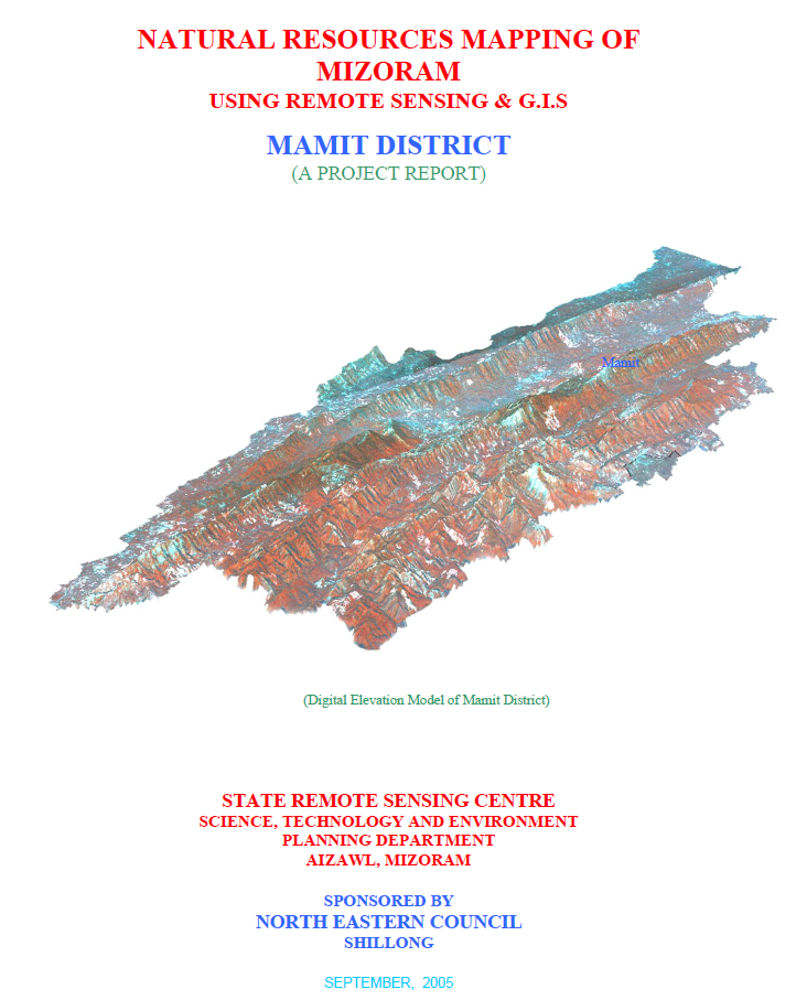
Natural Resources Mapping of Mamit District using Remote Sensing and GIS
The Natural Resources Mapping of Mamit District using Remote Sensing and GIS was undertaken by the Mizoram State Remote Sensing Centre (MSRSC), Science, Technology & Environment Wing, Planning Department, Government of Mizoram, as part of the Natural Resources Mapping of Mizoram project funded by the North Eastern Council (NEC), Shillong. The study forms one phase of a state-wide geospatial resource inventory programme initiated in 2004 to develop an integrated spatial database for sustainable natural resource management using Remote Sensing (RS), Geographic Information System (GIS), GPS surveys, and field investigations. The principal objective was to generate standardized thematic maps and digital databases to support scientific planning, conservation, and sustainable utilization of land and water resources while facilitating informed decision-making by government departments and development agencies.The project covers the entire Mamit District, occupying approximately 3,025.75 sq. km, making it one of the largest districts in Mizoram. IRS-1D LISS-III and Panchromatic satellite imagery, Survey of India topographic maps, geological and meteorological information, soil surveys, and extensive field verification were integrated within a GIS environment to prepare detailed thematic layers on transport and settlements, drainage, watershed boundaries, groundwater potential, geology, geomorphology, slope, aspect, elevation, land use/land cover, and soils. These datasets were subsequently synthesized to formulate district-specific action plans for land and water resource development.The study reveals that Mamit District is characterized by rugged hill terrain, with north-south trending ridges dissected by major river systems including the Tlawng, Teirei, Tut, Langkaih, Mar and Khawthlangtuipui Rivers. Terrain analysis indicates that steep and moderately steep slopes dominate much of the district, limiting the availability of land suitable for intensive agriculture while increasing susceptibility to soil erosion. Aspect analysis further highlights that eastern- and western-facing slopes together account for nearly one-third of the district, reflecting the characteristic structural orientation of the hill ranges and providing valuable information for agricultural planning, horticultural development, and watershed management.Land use and land cover assessment demonstrates that forests and bamboo forests constitute the dominant land cover, reflecting the district's rich natural vegetation. However, substantial areas remain under current and abandoned shifting cultivation (jhum), indicating the continued dependence of local communities on traditional agricultural practices. The study also records expanding horticultural plantations and agricultural activities in suitable valley lands and gentle slopes, illustrating an increasing transition towards more permanent and sustainable land-use systems. Groundwater potential mapping identifies distinct zones of varying groundwater prospects, providing a scientific basis for locating future groundwater development, while detailed soil investigations reveal predominantly acidic hill soils with moderate to high organic matter but varying fertility and erosion susceptibility depending on topographic conditions.A major outcome of the project is the development of an integrated natural resources information that combines multiple thematic datasets within a GIS framework to support evidence-based planning. Based on the spatial analysis, the report proposes comprehensive action plans emphasizing watershed development, rainwater harvesting, soil and water conservation, afforestation, agroforestry, horticultural expansion, sustainable agriculture, and scientific land capability-based planning. These recommendations are designed to optimize resource utilization while minimizing environmental degradation.Overall, the project demonstrates the effectiveness of integrating Remote Sensing, GIS, GPS, and field-based investigations for comprehensive natural resource assessment in mountainous regions. The geospatial database, thematic maps, and development plans generated under the study provide an invaluable reference for planners, researchers, resource managers, and policymakers, supporting sustainable development and long-term management of Mamit District's land and water resources. Summarized MetadataMapping Scale: 1:50,000Satellite data & Year: IRS 1D PAN & LISS III (2003 & 2004) – Digital & Photo printThematic sub-category: Land Use/Land Cover, Geology, Water resource, Climate, Action Plan Collaborating/Funding Agency: North Eastern Council (NEC), ShillongReport Publication Month/Year: September, 2005
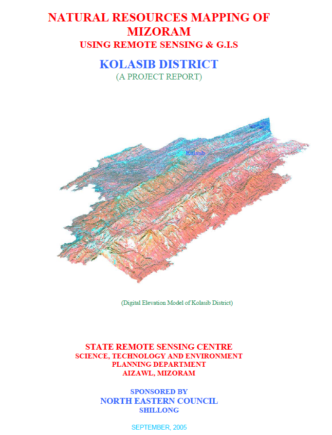
Natural Resources Mapping of Kolasib District using Remote Sensing and GIS
The Natural Resources Mapping of Kolasib District using Remote Sensing and GIS was undertaken by the Mizoram State Remote Sensing Centre (MSRSC), Science, Technology & Environment Wing, Planning Department, Government of Mizoram, under the Natural Resources Mapping of Mizoram project sponsored by the North Eastern Council (NEC), Shillong. The study forms part of a state-wide initiative launched in 2004 to develop a comprehensive geospatial database of Mizoram's natural resources through the integration of satellite remote sensing, Geographic Information System (GIS), GPS surveys, and field investigations. The primary objective was to generate accurate thematic maps and digital spatial datasets that would support sustainable land and water resource management, environmental planning, and informed decision-making at district and state levels. The project covers the entire Kolasib District, the northernmost district of Mizoram, extending over 1,382.51 sq. km, representing approximately 6.56% of the state's geographical area. IRS-1D LISS-III and Panchromatic satellite imagery acquired during 2003–2004 formed the primary data source, supplemented by Survey of India topographic sheets, geological and meteorological records, soil investigations, and extensive ground verification. A standardized workflow comprising pre-field image interpretation, GPS-assisted field validation, laboratory analysis, and GIS integration was adopted to generate thematic layers on transport network and settlements, drainage, watershed boundaries, geology, geomorphology, slope, aspect, groundwater potential, soils, and land use/land cover, culminating in district-level land and water resource development plans. The study reveals that Kolasib is predominantly a hilly district, with low structural hills occupying about 91.94% of the total area, while valley fills and flood plains together account for less than 5%, indicating limited terrain suitable for intensive agriculture. Geologically, the district is dominated by siltstone and shale formations (77.99%), followed by sandstone (19.32%), with recent alluvial deposits occurring mainly along major river systems such as the Tlawng, Tuirial, and Serlui. Land use analysis demonstrates that forest remains the dominant land cover, with bamboo forests alone covering 657.40 sq. km (47.55%), while medium and dense forests together account for over 23% of the district. Current and abandoned shifting cultivation (jhum) occupy approximately 200.44 sq. km (14.50%), highlighting the continued influence of traditional agricultural practices on the landscape. The assessment also documents the growing importance of horticulture, including arecanut, citrus, coffee, banana, pineapple, and black pepper plantations, which represent a gradual transition towards more sustainable land-use systems. Groundwater potential mapping indicates that 33.07% of the district possesses moderate groundwater potential, whereas 37.24% falls within the poor potential category because of steep topography and rapid surface runoff. Soil investigations identified predominantly acidic red and yellow loamy soils belonging to the Entisols, Inceptisols, and Ultisols orders, characterized by high organic carbon and nitrogen content but comparatively low phosphorus and potassium availability. The report further classified land irrigability and hydrosoil characteristics, providing a scientific basis for selecting suitable agricultural practices and water management strategies. A major outcome of the project is the preparation of integrated land and water resource development plans based on GIS analysis of multiple thematic layers. The study identifies opportunities for watershed development, rainwater harvesting, groundwater exploration, soil conservation, afforestation, agroforestry, horticultural expansion, and scientific land capability planning. By combining satellite-derived information with field observations and spatial modelling, the project establishes a comprehensive natural resource information system for Kolasib District. The generated maps, datasets, and development plans provide a valuable reference for government agencies, researchers, planners, and development organizations, enabling evidence-based planning and promoting the sustainable management of natural resources in one of Mizoram's most strategically important districts. Summarized MetadataMapping Scale: 1:50,000Satellite data & Year: IRS 1D PAN & LISS III (2003 & 2004) – Digital & Photo printThematic sub-category: Land Use/Land Cover, Geology, Water resource, Climate, Action Plan Collaborating/Funding Agency: North Eastern Council (NEC), ShillongReport Publication Month/Year: September, 2005
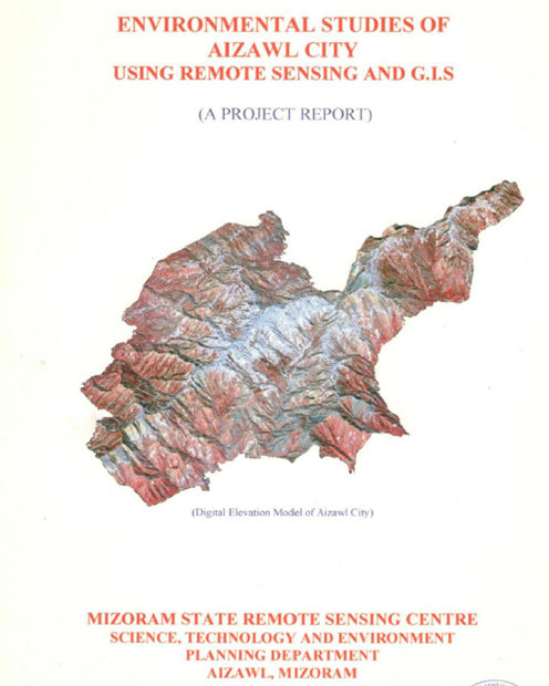
Environmental Studies of Aizawl City using Remote Sensing and GIS
The project "Environmental Studies of Aizawl City using Remote Sensing and GIS" was undertaken by the Mizoram State Remote Sensing Centre (MSRSC), and Science, Technology & Environment Wing, Planning Department, Government of Mizoram in March 2005. The study was initiated in response to the rapid and largely unplanned expansion of Aizawl city, which has resulted in increasing environmental degradation, pressure on natural resources, and growing urban management challenges. The project employs Remote Sensing (RS) and Geographical Information System (GIS) technologies to generate an integrated environmental database that can support scientific urban planning, infrastructure development, hazard mitigation, and sustainable environmental management.Aizawl, the capital city of Mizoram, has experienced unprecedented urban growth over the past few decades due to administrative expansion, population increase, and rural-to-urban migration. The city is situated along narrow ridge tops and steep hill slopes within the rugged hill terrain of the state. This unique topographic setting severely limits the availability of developable land while simultaneously increasing the susceptibility of the city to environmental hazards such as landslides, slope failures, soil erosion, water scarcity, and environmental pollution. Recognizing these challenges, the project sought to establish a comprehensive environmental information system covering both the natural and anthropogenic components of the urban landscape.The study area encompasses the entire municipal limits of Aizawl City covering approximately 12,898 hectares, located between 23°39'–23°50' N latitude and 92°39'–92°47' E longitude. The city occupies a series of elongated hill ridges with elevations ranging from approximately 700 m to over 1,100 m above mean sea level, separated by deeply incised valleys. The complex physiography has strongly influenced urban expansion patterns, transportation networks, drainage systems, and infrastructure development.The principal objective of the project was to develop a comprehensive environmental database through the integration of satellite imagery, topographic information, field surveys, and GIS analysis. Specifically, the study aimed to:Prepare an updated land use/land cover database; Assess surface and groundwater resources; Evaluate water quality and water supply systems; Study geology, geomorphology and structural characteristics; Delineate landslide hazard zones; Generate terrain information including slope, aspect and elevation; Assess soil characteristics and land capability; Analyze existing urban growth patterns; Formulate recommendations for environmentally sustainable urban planning and resource management. The project integrates multiple thematic layers generated from satellite imagery, Survey of India topographic maps, geological maps, field investigations, laboratory analyses, and GPS observations. These datasets were compiled within a GIS environment to facilitate spatial analysis and decision-making.One of the major components of the study involves terrain analysis, which demonstrates that Aizawl is predominantly developed along steep ridge tops with side slopes frequently exceeding 35–45%. Such terrain conditions significantly restrict construction activities and increase the risk of slope instability. Digital elevation models, slope maps, aspect maps and terrain profiles were generated to identify suitable areas for future urban expansion and infrastructure development.The geological and geomorphological investigations reveal that the city is underlain predominantly by folded sedimentary rocks belonging to the Surma Group, consisting mainly of sandstone, shale and siltstone. Numerous joints, fractures and bedding planes weaken the rock mass, making many hill slopes vulnerable to failure during prolonged rainfall. The geomorphological assessment identifies ridge tops, structural hills, denudational slopes, escarpments and narrow valleys as the principal landforms controlling urban development.A comprehensive climatological assessment was undertaken using long-term meteorological records. The study analyses rainfall, temperature, humidity, wind characteristics and seasonal climatic variations. Aizawl experiences a humid tropical monsoon climate with annual rainfall exceeding 2,000 mm, most of which occurs during the southwest monsoon season. High rainfall intensity combined with steep terrain contributes significantly to soil erosion, slope instability and frequent landslide occurrences. The climatic analysis also highlights the influence of monsoon winds, seasonal humidity and temperature regimes on vegetation growth and urban environmental conditions.The project includes an extensive evaluation of the water resources of Aizawl city. Surface water sources, perennial streams, reservoirs and groundwater occurrences were inventoried and analysed. The report documents the historical evolution of the city's water supply system and identifies increasing pressure on available water resources due to rapid population growth. Groundwater investigations indicate generally limited groundwater potential because of the hard sedimentary formations and steep terrain. Nevertheless, localized aquifers associated with fractured sandstone formations provide opportunities for supplementary groundwater development. Water quality analyses indicate that although most water sources remain suitable for domestic use after treatment, increasing urbanization has begun to affect the quality of several streams through domestic sewage discharge and solid waste disposal.One of the most significant components of the study is the landslide hazard zonation. Using an integrated approach combining slope, geology, land use, drainage, structural discontinuities and field observations, the project identifies areas of varying landslide susceptibility throughout the city. Numerous unstable slopes were documented where inappropriate hill cutting, road construction, deforestation and uncontrolled urban development have destabilized natural hill slopes. The hazard zonation maps provide an important planning tool for regulating future construction and reducing disaster risks.The soil survey forms another major component of the project. Representative soil profiles were studied across different physiographic units and analysed for both physical and chemical properties. The soils are generally acidic, moderately deep on ridge tops, deeper on gentle slopes and valley floors, and rich in organic matter under forest vegetation. However, removal of vegetation cover significantly accelerates erosion and nutrient loss. Laboratory analyses of soil texture, bulk density, moisture content, pH, organic carbon, cation exchange capacity and nutrient status were carried out to assess soil fertility and land capability. Based on these characteristics, land capability classifications were developed to guide suitable land utilization and conservation practices.The land use/land cover analysis demonstrates the rapid transformation of the urban landscape. Built-up areas have expanded considerably along ridge tops and major transportation corridors, often replacing forest cover and agricultural lands. The study classifies land use into categories including dense forest, open forest, scrub, agricultural land, settlements, institutional areas, roads, water bodies and barren lands. GIS analysis reveals increasing fragmentation of forest patches, reduction in natural vegetation, and expansion of residential areas into environmentally sensitive slopes.The report emphasizes that many of these problems are interconnected and require integrated planning rather than isolated engineering interventions. Based on the environmental assessment, the study recommends a comprehensive urban environmental management strategy. Major recommendations include strict regulation of construction activities on steep slopes, scientific land-use zoning based on terrain suitability, implementation of landslide mitigation measures, watershed conservation, afforestation using indigenous species, improved drainage systems, scientific solid waste management, protection of water sources, groundwater recharge, strengthening of environmental monitoring programmes, and establishment of a GIS-based Urban Environmental Information System for continuous planning support.The project demonstrates that Remote Sensing and GIS provide powerful tools for integrated urban environmental assessment, enabling the simultaneous evaluation of topography, geology, land use, hydrology, soils, hazards and infrastructure within a single spatial framework. The generated environmental database constitutes one of the earliest comprehensive GIS-based urban environmental information systems for Aizawl city and provides a valuable baseline for future urban planning, disaster risk reduction, infrastructure development and sustainable natural resource management.Overall, the study concludes that while Aizawl's unique mountainous setting presents significant constraints to urban expansion, scientifically informed planning supported by geospatial technologies can substantially reduce environmental degradation and improve the long-term sustainability of urban development. The report therefore serves as an important reference document for planners, engineers, environmental managers, disaster management authorities and policymakers involved in guiding the future growth of Aizawl city.Summarized MetadataMapping Scale: 1:12,500Satellite data & Year: IRS 1D PAN (February 2001) & LISS III (May 2002)Thematic sub-category: Land Use/Land Cover, Geology, Water resource, Climate, Spatial Planning Collaborating/Funding Agency: Science, Technology & Environment Wing, Planning Department, Government of MizoramReport Publication Month/Year: March, 2005